Johnstone Dam
Reservoir in Golden Valley County, North Dakota · on the USGS Duck Creek quadrangle
46.75154, -104.01037
Maps that show Johnstone Dam
Get them in the map app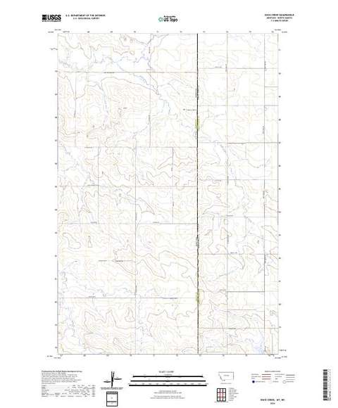
Duck Creek, MT-ND
Detailed map of terrain, trails and roads
USGS topo, 2024

Carlyle
Forest Service topo with road numbers
Forest Service FSTopo 7.5-minute quad

Golva
Forest Service topo with road numbers
Forest Service FSTopo 7.5-minute quad

Wibaux 30x60 Land Ownership (BLM Surface Management)
Land Ownership Maps from BLM Data · Montana

Little Missouri National Grassland, Dakota Prairie Grasslands
Forest Service forest map

IFR Enroute High Altitude Chart H-02 (U.S.)
FAA, 2026-10-29

IFR Enroute Low Altitude Chart L-13 (U.S.)
FAA, 2026-10-29

IFR Enroute High Altitude Chart H-01 (U.S.)
FAA, 2026-10-29
Name, class, county and location: USGS Geographic Names Information System (public domain).