Determination Towers
Pillar in Grand County, Utah · on the USGS Jug Rock quadrangle
38.68276, -109.75095
Maps that show Determination Towers
Get them in the map app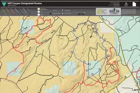
Mill Canyon Designated Routes
BLM Utah (2024)
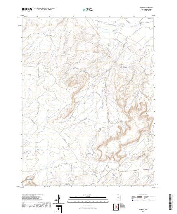
Jug Rock, UT
USGS topo, 2023
The Knoll, UT
USGS historical 15-minute topo (1951)
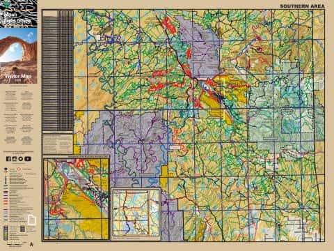
Moab Visitor Map
South — BLM Utah (2021)

Moab Visitor Map
North — BLM Utah (2021)
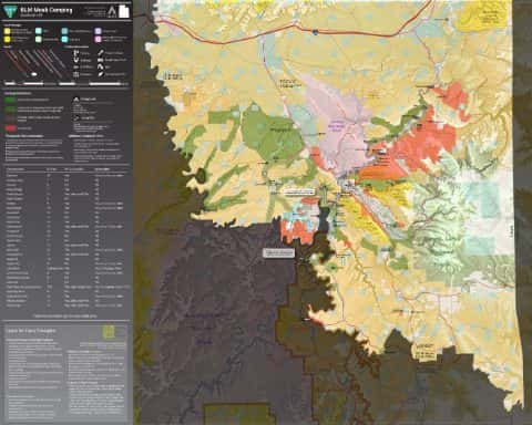
Moab Camping
BLM Utah
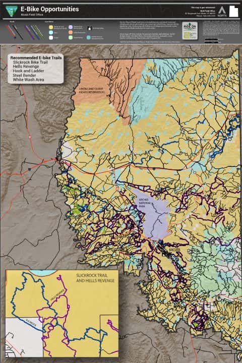
E-Bike Opportunities
BLM Utah (2024)
IFR Enroute Low Altitude Chart L-09 (U.S.)
FAA, 2026-10-29

IFR Enroute Low Altitude Chart L-11 (U.S.)
FAA, 2026-10-29
IFR Enroute High Altitude Chart H-04 (U.S.)
FAA, 2026-10-29
IFR Enroute High Altitude Chart H-03 (U.S.)
FAA, 2026-10-29
Nearby
Name, class, county and location: USGS Geographic Names Information System (public domain).