Umatilla National Forest maps
National forest in Oregon and Washington, managed by the USDA Forest Service.
Cartahaven has 96 maps covering Umatilla National Forest: 22 Forest Service maps and 74 USGS 7.5-minute topo quads. All of them are free. Download one to your phone and the map app shows your GPS position on it with no cell signal, along with your tracks, placemarks and, in the US, who manages the land around you.
Check current conditions, closures and regulations with the USDA Forest Service before you go. Maps are aids, not guarantees.
Where each map covers
First 60 of 96 maps
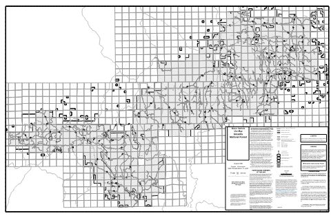
Entire District Motor Vehicle Use Map (MVUM) — Umatilla National Forest (2026)
Forest Service Maps (public domain) · Umatilla National Forest
Public domain
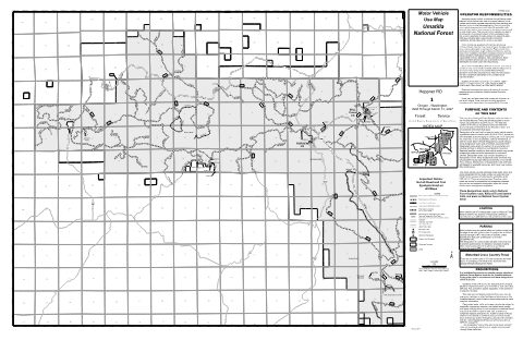
Map 1 Motor Vehicle Use Map (MVUM) — Umatilla National Forest (2026)
Forest Service Maps (public domain) · Umatilla National Forest
Public domain
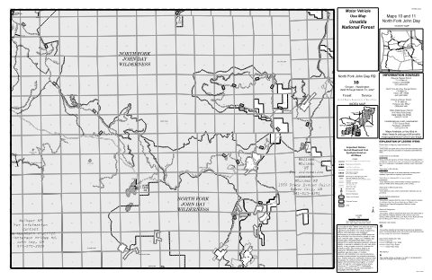
Map 10 Motor Vehicle Use Map (MVUM) — Umatilla National Forest (2026)
Forest Service Maps (public domain) · Umatilla National Forest
Public domain
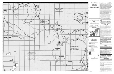
Map 11 Motor Vehicle Use Map (MVUM) — Umatilla National Forest (2026)
Forest Service Maps (public domain) · Umatilla National Forest
Public domain
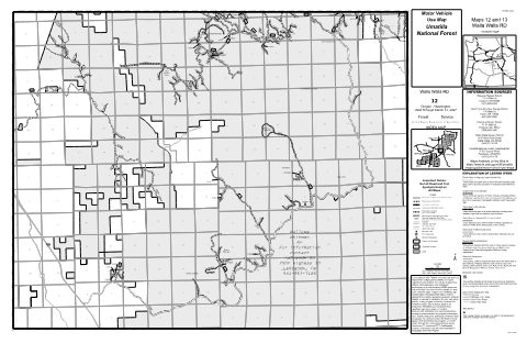
Map 12 Motor Vehicle Use Map (MVUM) — Umatilla National Forest (2026)
Forest Service Maps (public domain) · Umatilla National Forest
Public domain
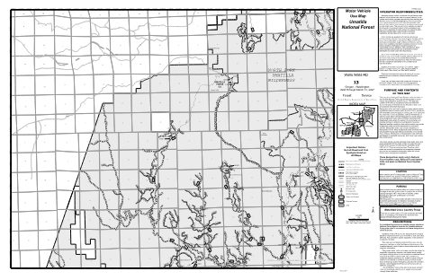
Map 13 Motor Vehicle Use Map (MVUM) — Umatilla National Forest (2026)
Forest Service Maps (public domain) · Umatilla National Forest
Public domain
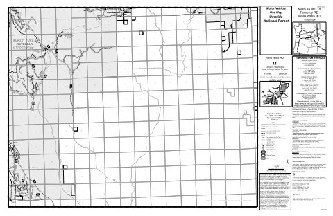
Map 14 Motor Vehicle Use Map (MVUM) — Umatilla National Forest (2026)
Forest Service Maps (public domain) · Umatilla National Forest
Public domain
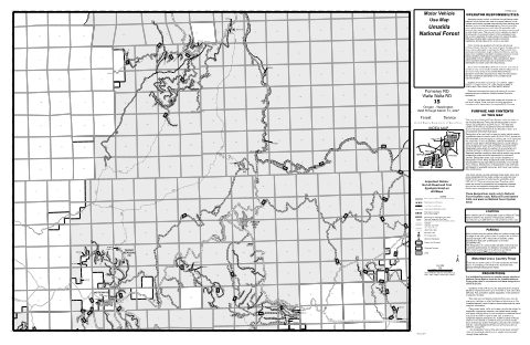
Map 15 Motor Vehicle Use Map (MVUM) — Umatilla National Forest (2026)
Forest Service Maps (public domain) · Umatilla National Forest
Public domain
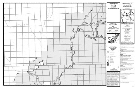
Map 16 Motor Vehicle Use Map (MVUM) — Umatilla National Forest (2026)
Forest Service Maps (public domain) · Umatilla National Forest
Public domain
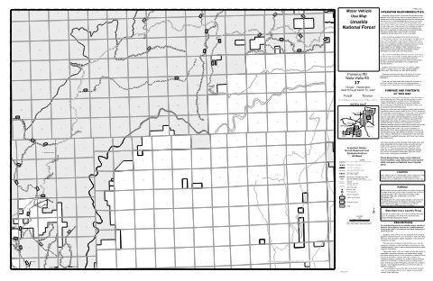
Map 17 Motor Vehicle Use Map (MVUM) — Umatilla National Forest (2026)
Forest Service Maps (public domain) · Umatilla National Forest
Public domain
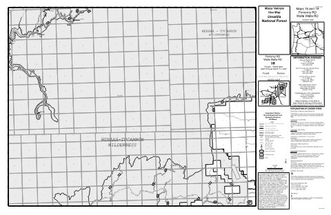
Map 18 Motor Vehicle Use Map (MVUM) — Umatilla National Forest (2026)
Forest Service Maps (public domain) · Umatilla National Forest
Public domain
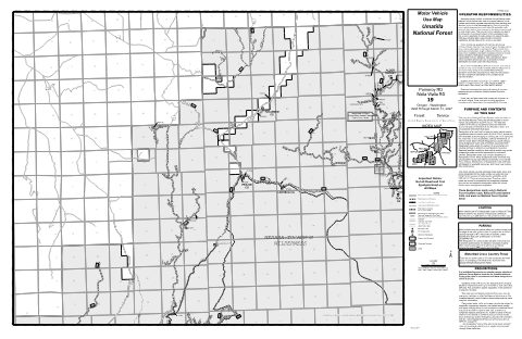
Map 19 Motor Vehicle Use Map (MVUM) — Umatilla National Forest (2026)
Forest Service Maps (public domain) · Umatilla National Forest
Public domain
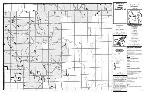
Map 2 Motor Vehicle Use Map (MVUM) — Umatilla National Forest (2026)
Forest Service Maps (public domain) · Umatilla National Forest
Public domain
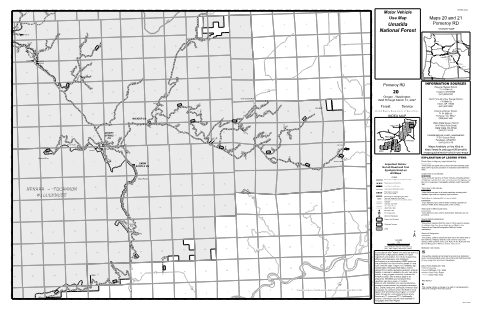
Map 20 Motor Vehicle Use Map (MVUM) — Umatilla National Forest (2026)
Forest Service Maps (public domain) · Umatilla National Forest
Public domain
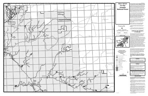
Map 21 Motor Vehicle Use Map (MVUM) — Umatilla National Forest (2026)
Forest Service Maps (public domain) · Umatilla National Forest
Public domain
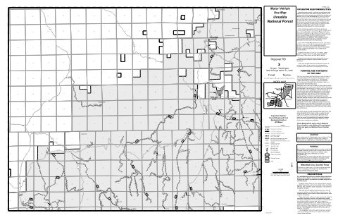
Map 3 Motor Vehicle Use Map (MVUM) — Umatilla National Forest (2026)
Forest Service Maps (public domain) · Umatilla National Forest
Public domain
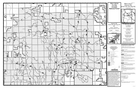
Map 4 Motor Vehicle Use Map (MVUM) — Umatilla National Forest (2026)
Forest Service Maps (public domain) · Umatilla National Forest
Public domain
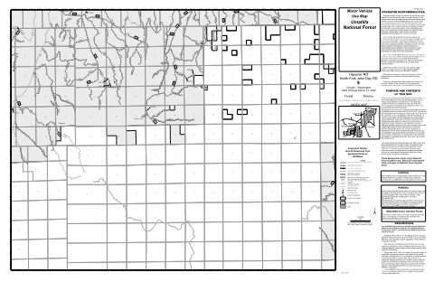
Map 5 Motor Vehicle Use Map (MVUM) — Umatilla National Forest (2026)
Forest Service Maps (public domain) · Umatilla National Forest
Public domain
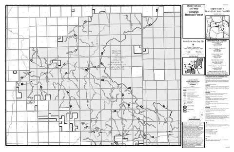
Map 6 Motor Vehicle Use Map (MVUM) — Umatilla National Forest (2026)
Forest Service Maps (public domain) · Umatilla National Forest
Public domain
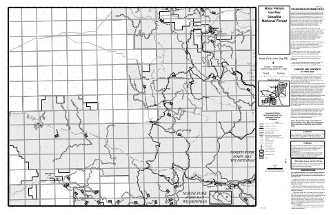
Map 7 Motor Vehicle Use Map (MVUM) — Umatilla National Forest (2026)
Forest Service Maps (public domain) · Umatilla National Forest
Public domain
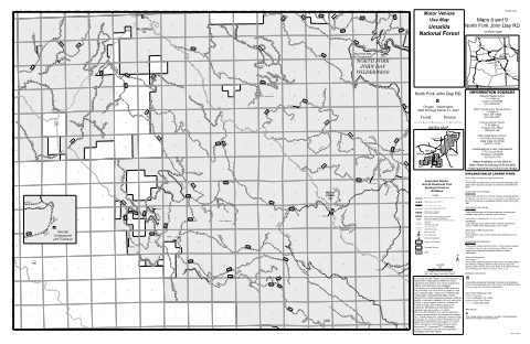
Map 8 Motor Vehicle Use Map (MVUM) — Umatilla National Forest (2026)
Forest Service Maps (public domain) · Umatilla National Forest
Public domain
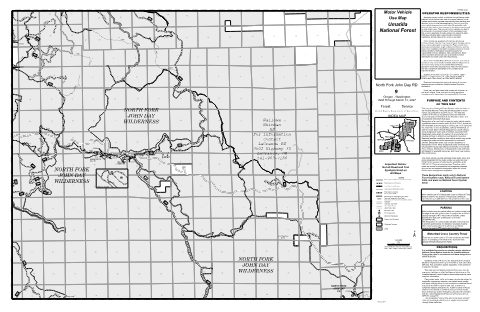
Map 9 Motor Vehicle Use Map (MVUM) — Umatilla National Forest (2026)
Forest Service Maps (public domain) · Umatilla National Forest
Public domain
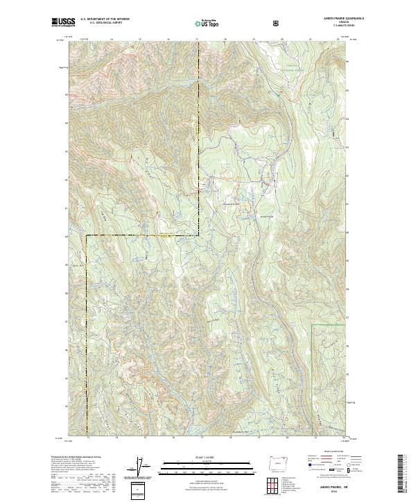
Andies Prairie, OR — USGS 7.5-minute topo (2024)
USGS Topo Maps (public domain) · Oregon
Public domain
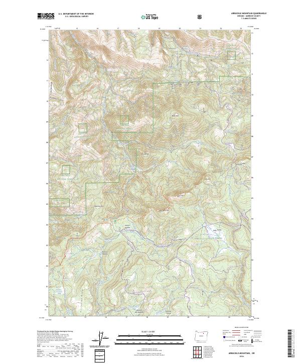
Arbuckle Mountain, OR — USGS 7.5-minute topo (2024)
USGS Topo Maps (public domain) · Oregon
Public domain
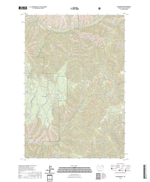
Big Meadows, OR — USGS 7.5-minute topo (2024)
USGS Topo Maps (public domain) · Oregon
Public domain
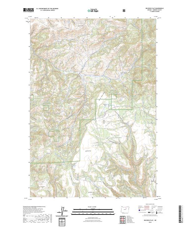
Big Rock Flat, OR — USGS 7.5-minute topo (2024)
USGS Topo Maps (public domain) · Oregon
Public domain
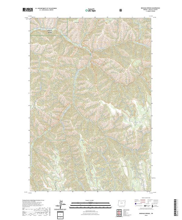
Bingham Springs, OR — USGS 7.5-minute topo (2024)
USGS Topo Maps (public domain) · Oregon
Public domain
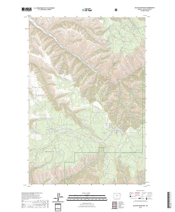
Blalock Mountain, OR — USGS 7.5-minute topo (2023)
USGS Topo Maps (public domain) · Oregon
Public domain
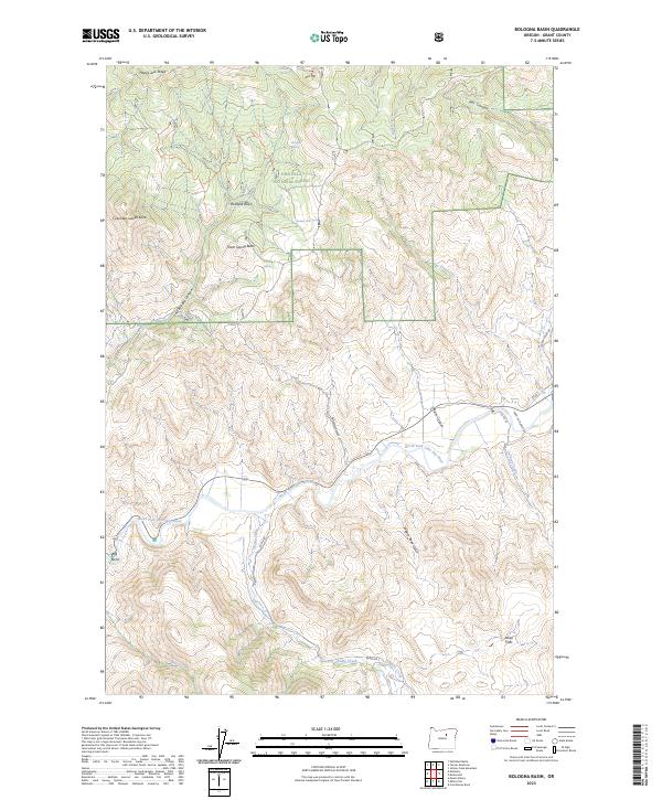
Bologna Basin, OR — USGS 7.5-minute topo (2023)
USGS Topo Maps (public domain) · Oregon
Public domain
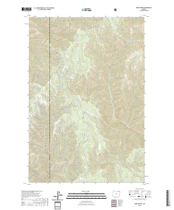
Bone Spring, OR — USGS 7.5-minute topo (2024)
USGS Topo Maps (public domain) · Oregon
Public domain
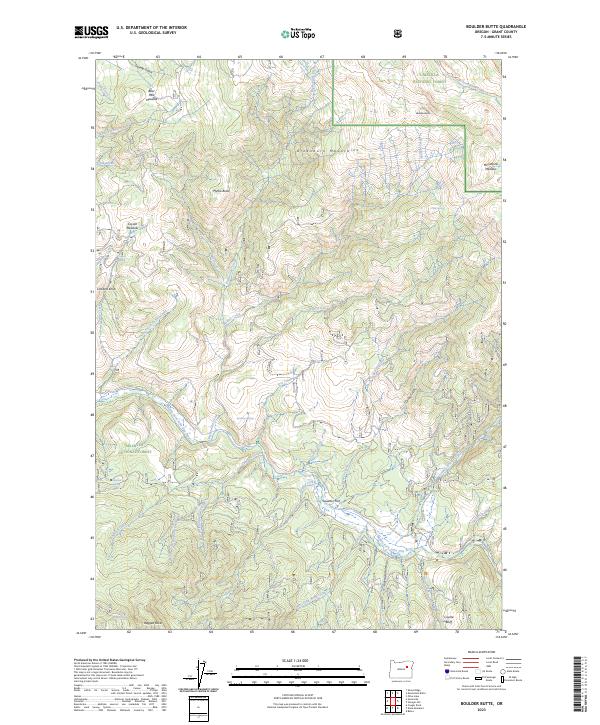
Boulder Butte, OR — USGS 7.5-minute topo (2023)
USGS Topo Maps (public domain) · Oregon
Public domain
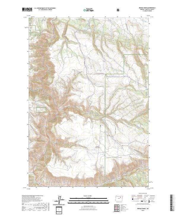
Bridge Creek, OR — USGS 7.5-minute topo (2024)
USGS Topo Maps (public domain) · Oregon
Public domain
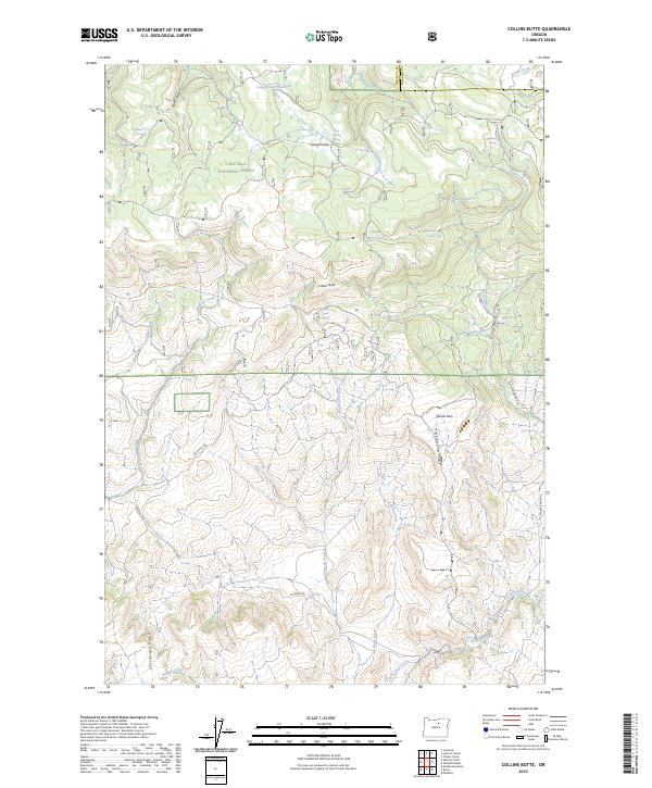
Collins Butte, OR — USGS 7.5-minute topo (2023)
USGS Topo Maps (public domain) · Oregon
Public domain
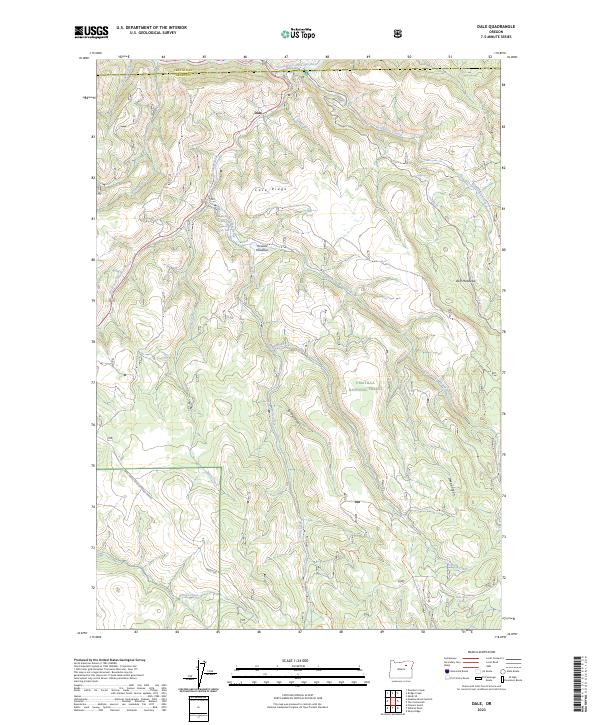
Dale, OR — USGS 7.5-minute topo (2023)
USGS Topo Maps (public domain) · Oregon
Public domain
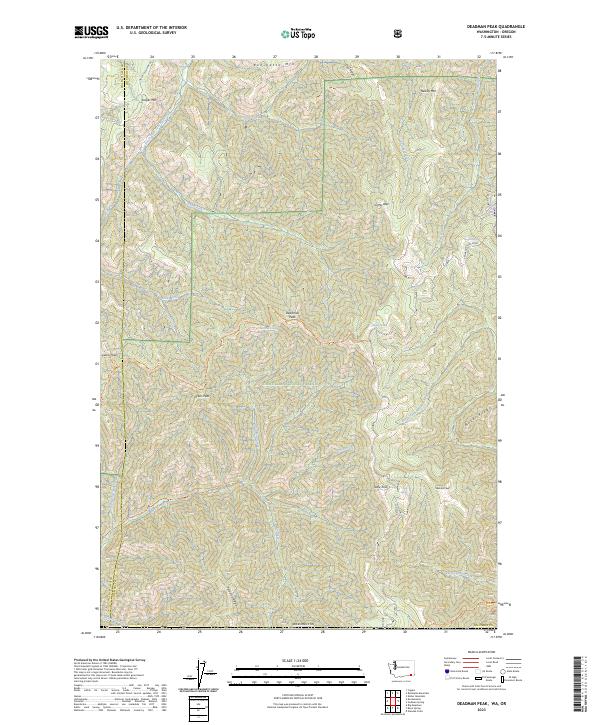
Deadman Peak, WA-OR — USGS 7.5-minute topo (2023)
USGS Topo Maps (public domain) · Washington, Oregon
Public domain
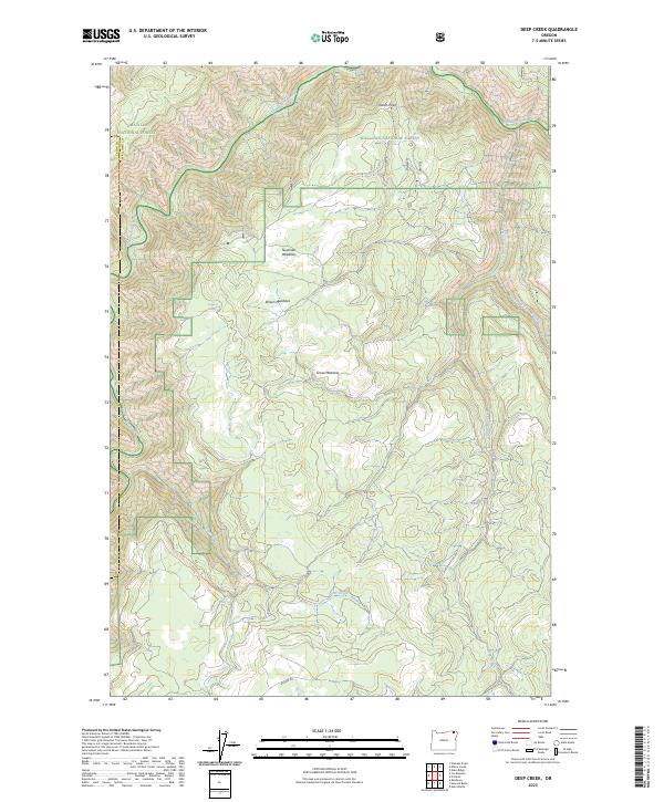
Deep Creek, OR — USGS 7.5-minute topo (2023)
USGS Topo Maps (public domain) · Oregon
Public domain
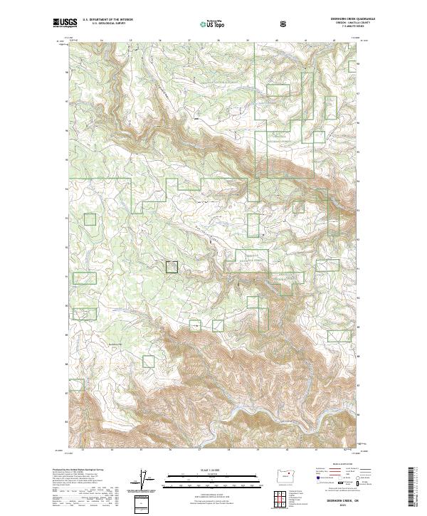
Deerhorn Creek, OR — USGS 7.5-minute topo (2023)
USGS Topo Maps (public domain) · Oregon
Public domain
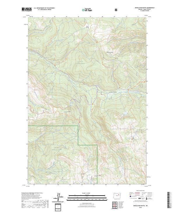
Desolation Butte, OR — USGS 7.5-minute topo (2024)
USGS Topo Maps (public domain) · Oregon
Public domain
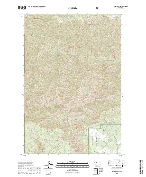
Diamond Peak, WA — USGS 7.5-minute topo (2023)
USGS Topo Maps (public domain) · Washington
Public domain
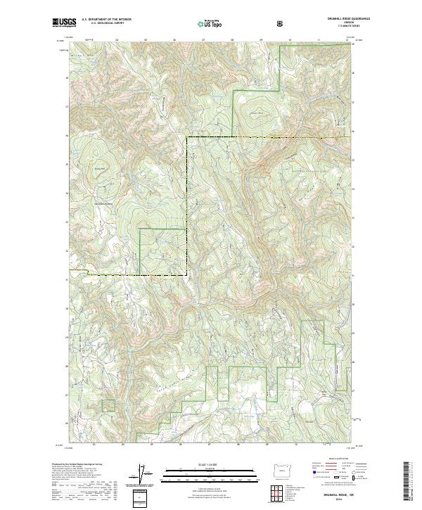
Drumhill Ridge, OR — USGS 7.5-minute topo (2024)
USGS Topo Maps (public domain) · Oregon
Public domain
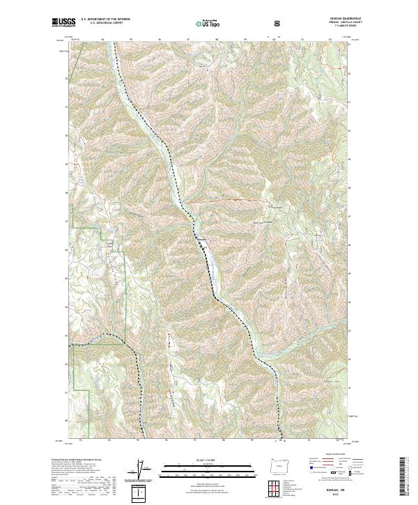
Duncan, OR — USGS 7.5-minute topo (2023)
USGS Topo Maps (public domain) · Oregon
Public domain
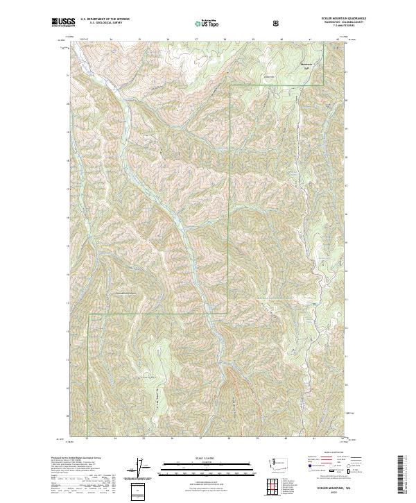
Eckler Mountain, WA — USGS 7.5-minute topo (2023)
USGS Topo Maps (public domain) · Washington
Public domain
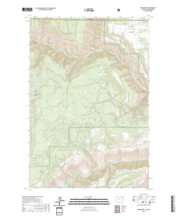
Eden Ridge, OR-WA — USGS 7.5-minute topo (2023)
USGS Topo Maps (public domain) · Oregon, Washington
Public domain
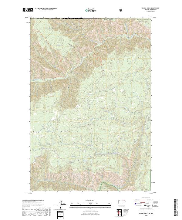
Elbow Creek, OR-WA — USGS 7.5-minute topo (2024)
USGS Topo Maps (public domain) · Oregon, Washington
Public domain
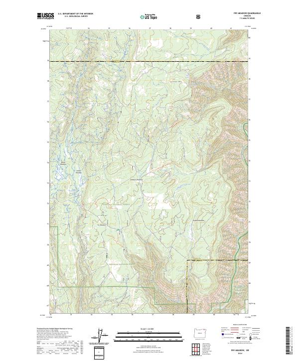
Fry Meadow, OR — USGS 7.5-minute topo (2024)
USGS Topo Maps (public domain) · Oregon
Public domain
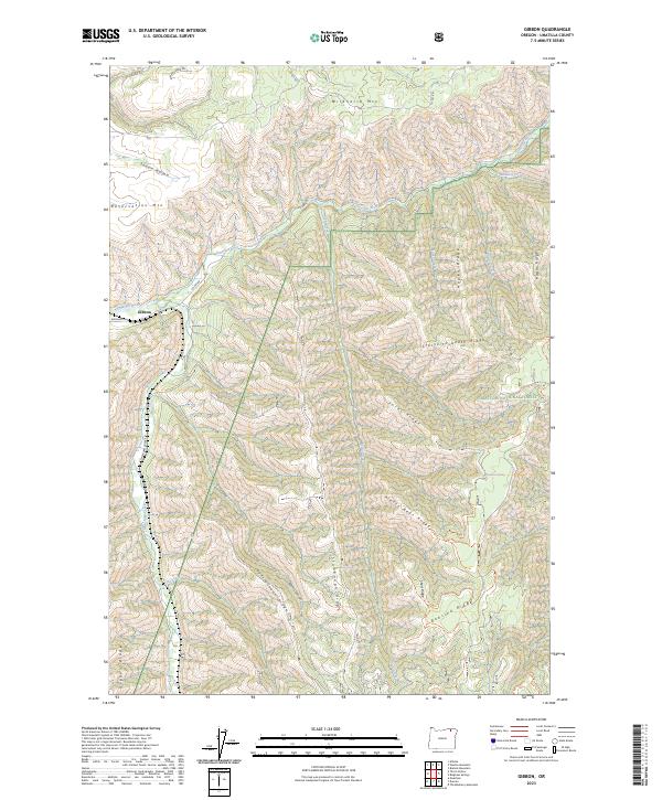
Gibbon, OR — USGS 7.5-minute topo (2023)
USGS Topo Maps (public domain) · Oregon
Public domain
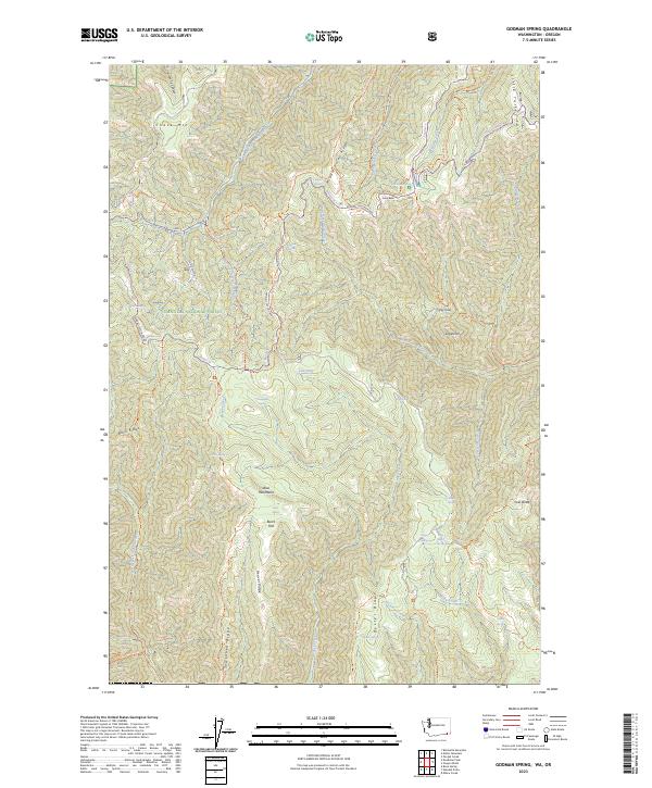
Godman Spring, WA-OR — USGS 7.5-minute topo (2023)
USGS Topo Maps (public domain) · Washington, Oregon
Public domain
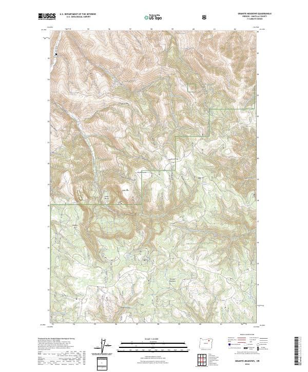
Granite Meadows, OR — USGS 7.5-minute topo (2024)
USGS Topo Maps (public domain) · Oregon
Public domain
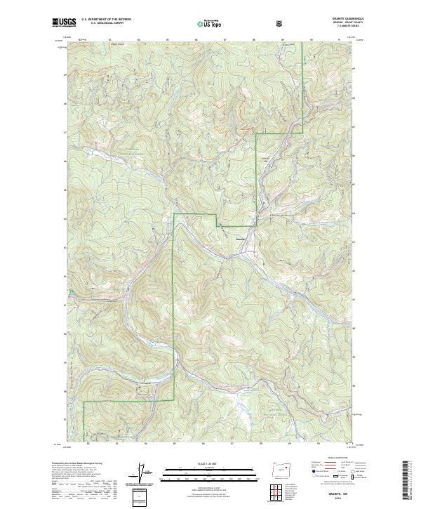
Granite, OR — USGS 7.5-minute topo (2024)
USGS Topo Maps (public domain) · Oregon
Public domain
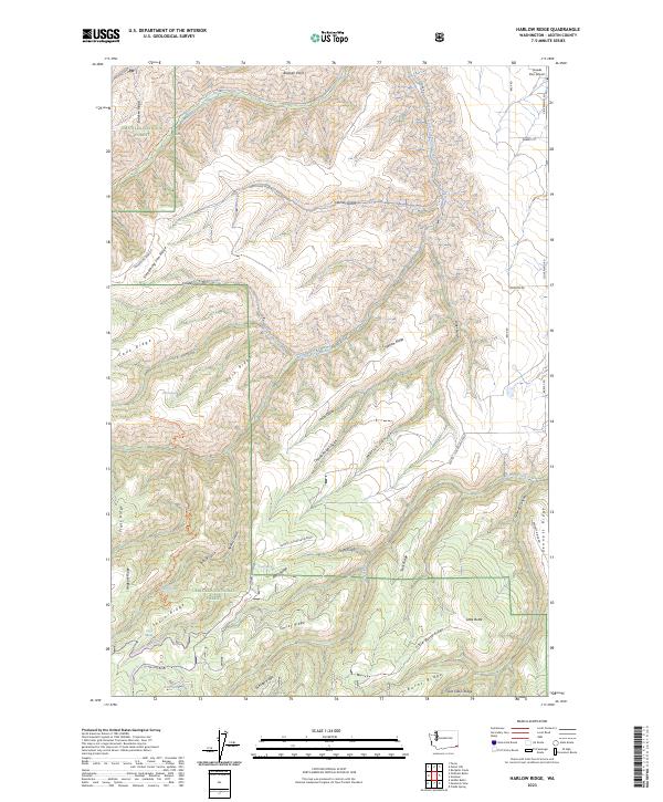
Harlow Ridge, WA — USGS 7.5-minute topo (2023)
USGS Topo Maps (public domain) · Washington
Public domain
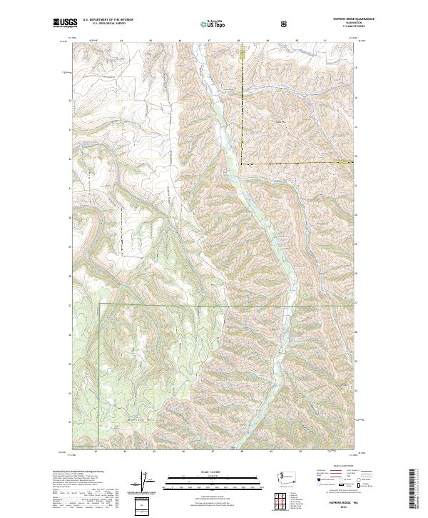
Hopkins Ridge, WA — USGS 7.5-minute topo (2023)
USGS Topo Maps (public domain) · Washington
Public domain
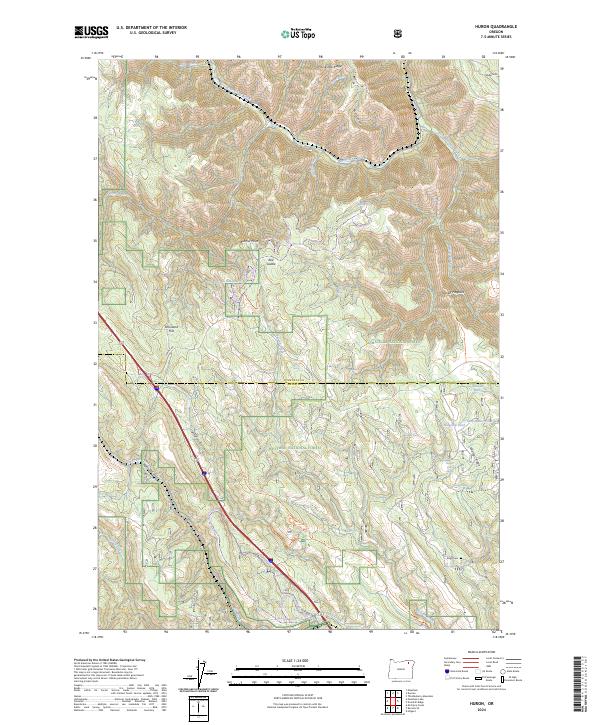
Huron, OR — USGS 7.5-minute topo (2024)
USGS Topo Maps (public domain) · Oregon
Public domain
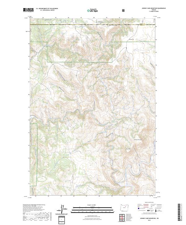
Johnny Cake Mountain, OR — USGS 7.5-minute topo (2023)
USGS Topo Maps (public domain) · Oregon
Public domain
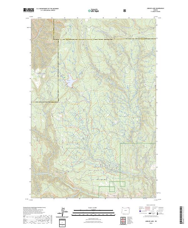
Jubilee Lake, OR — USGS 7.5-minute topo (2024)
USGS Topo Maps (public domain) · Oregon
Public domain
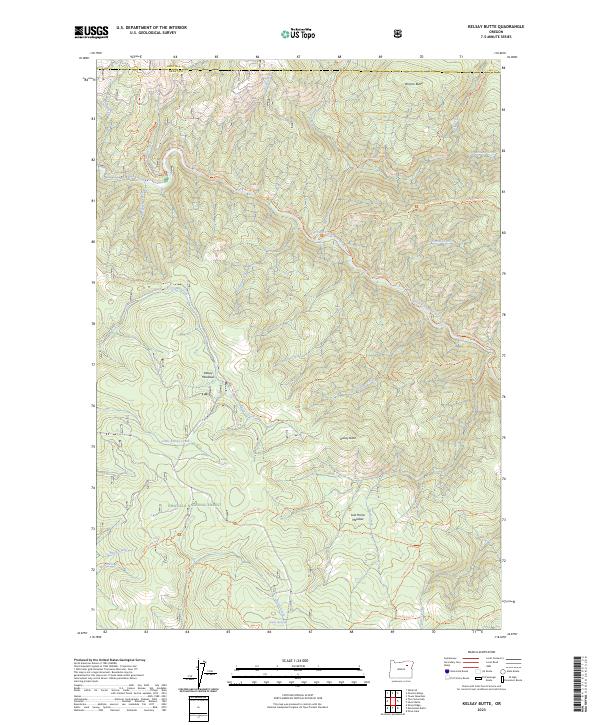
Kelsay Butte, OR — USGS 7.5-minute topo (2023)
USGS Topo Maps (public domain) · Oregon
Public domain
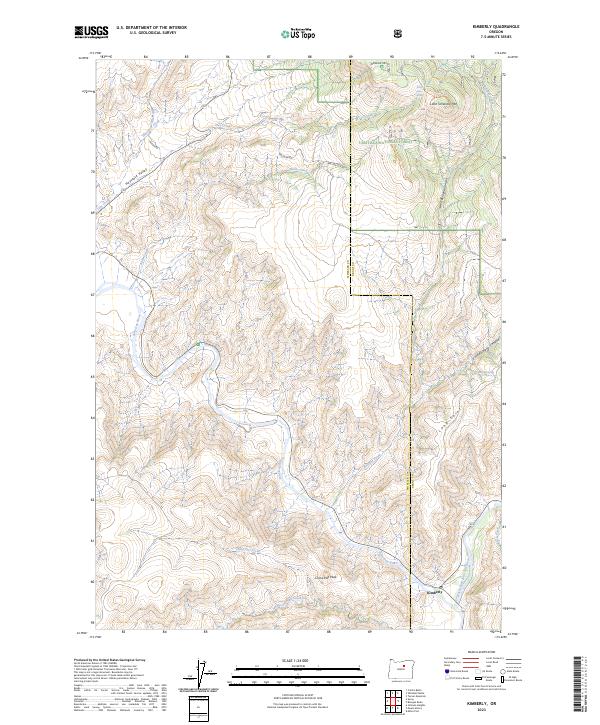
Kimberly, OR — USGS 7.5-minute topo (2023)
USGS Topo Maps (public domain) · Oregon
Public domain
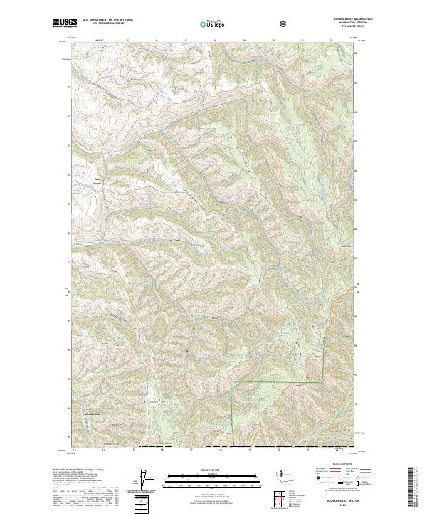
Kooskooskie, WA-OR — USGS 7.5-minute topo (2023)
USGS Topo Maps (public domain) · Washington, Oregon
Public domain
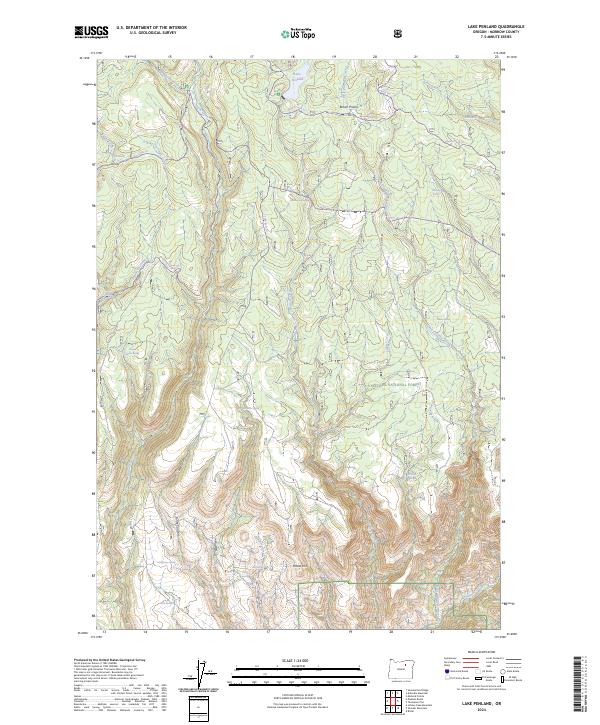
Lake Penland, OR — USGS 7.5-minute topo (2024)
USGS Topo Maps (public domain) · Oregon
Public domain
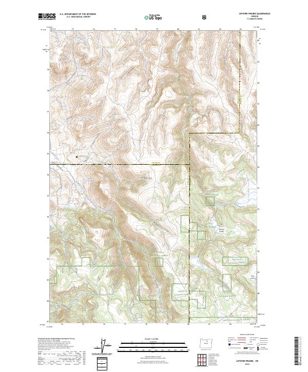
Lefevre Prairie, OR — USGS 7.5-minute topo (2024)
USGS Topo Maps (public domain) · Oregon
Public domain
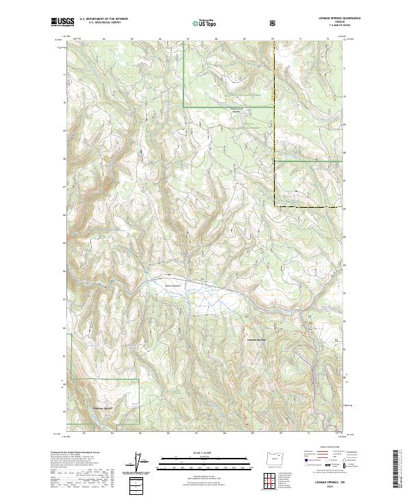
Lehman Springs, OR — USGS 7.5-minute topo (2023)
USGS Topo Maps (public domain) · Oregon
Public domain
See all 96 maps of Umatilla National Forest
USGS quads are listed when part of the sheet falls inside the boundary. Boundary: USDA Forest Service, simplified.
More places nearby
- Wallowa-Whitman National Forest
- John Day Fossil Beds National Monument
- Malheur National Forest
- Ochoco National Forest
- Columbia River Gorge National Scenic Area
- Mt. Hood National Forest
- Gifford Pinchot National Forest
- Deschutes National Forest
- Mount Rainier National Park
- Okanogan-Wenatchee National Forest
- Lake Roosevelt National Recreation Area
- Willamette National Forest
- Idaho Panhandle National Forests
- Colville National Forest
- Mt. Baker-Snoqualmie National Forest
- Lake Chelan National Recreation Area
- Fremont-Winema National Forest
- Crater Lake National Park