Willamette National Forest maps
National forest in Oregon, managed by the USDA Forest Service.
Cartahaven has 87 maps covering Willamette National Forest: 16 Forest Service maps and 71 USGS 7.5-minute topo quads. All of them are free. Download one to your phone and the map app shows your GPS position on it with no cell signal, along with your tracks, placemarks and, in the US, who manages the land around you.
Check current conditions, closures and regulations with the USDA Forest Service before you go. Maps are aids, not guarantees.
Where each map covers
First 60 of 87 maps
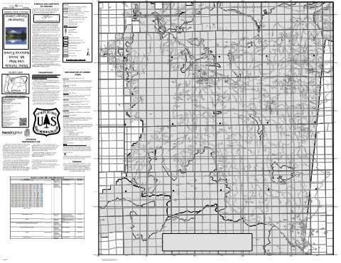
Clackamas River Ranger District Motor Vehicle Use Map (MVUM) — Mt. Hood National Forest (2025)
Forest Service Maps (public domain) · Mt. Hood National Forest
Public domain
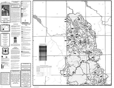
Cottage Grove Ranger District Motor Vehicle Use Map (MVUM) — Umpqua National Forest (2024)
Forest Service Maps (public domain) · Umpqua National Forest
Public domain

Deschutes Motor Vehicle Use Map 1 — Deschutes National Forest
Forest Service Maps (public domain) · Deschutes National Forest
Public domain

Deschutes Motor Vehicle Use Map 2 — Deschutes National Forest
Forest Service Maps (public domain) · Deschutes National Forest
Public domain

Deschutes Motor Vehicle Use Map 3 — Deschutes National Forest
Forest Service Maps (public domain) · Deschutes National Forest
Public domain

Deschutes Motor Vehicle Use Map 5 — Deschutes National Forest
Forest Service Maps (public domain) · Deschutes National Forest
Public domain

Deschutes Motor Vehicle Use Map 8 — Deschutes National Forest
Forest Service Maps (public domain) · Deschutes National Forest
Public domain
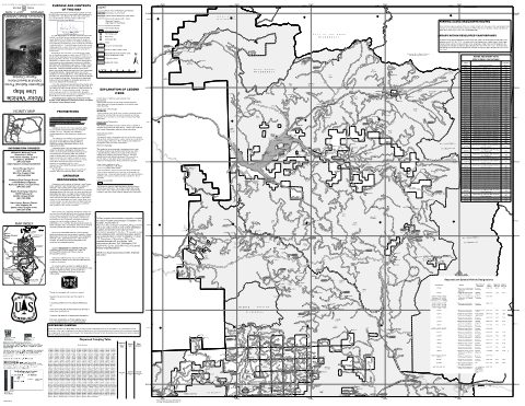
Detroit Ranger District Motor Vehicle Use Map (MVUM) — Willamette National Forest (2025)
Forest Service Maps (public domain) · Willamette National Forest
Public domain
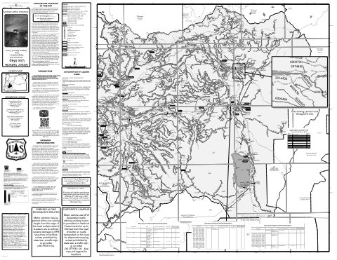
Diamond Lake Ranger District - East Motor Vehicle Use Map (MVUM) — Umpqua National Forest (2024)
Forest Service Maps (public domain) · Umpqua National Forest
Public domain

Diamond Lake Ranger District - West Motor Vehicle Use Map (MVUM) — Umpqua National Forest (2024)
Forest Service Maps (public domain) · Umpqua National Forest
Public domain
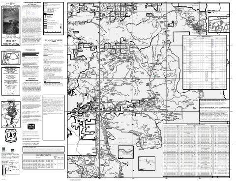
McKenzie River Ranger District - North Motor Vehicle Use Map (MVUM) — Willamette National Forest (2025)
Forest Service Maps (public domain) · Willamette National Forest
Public domain
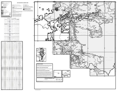
McKenzie River Ranger District - South Motor Vehicle Use Map (MVUM) — Willamette National Forest (2025)
Forest Service Maps (public domain) · Willamette National Forest
Public domain
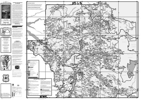
Middle Fork Ranger District - North (front and back) Motor Vehicle Use Map (MVUM) — Willamette National Forest (2025)
Forest Service Maps (public domain) · Willamette National Forest
Public domain
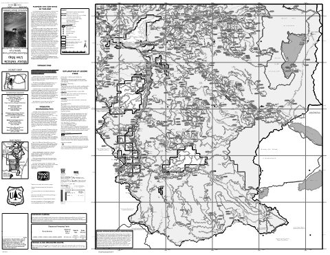
Middle Fork Ranger District - South (front and back) Motor Vehicle Use Map (MVUM) — Willamette National Forest (2025)
Forest Service Maps (public domain) · Willamette National Forest
Public domain
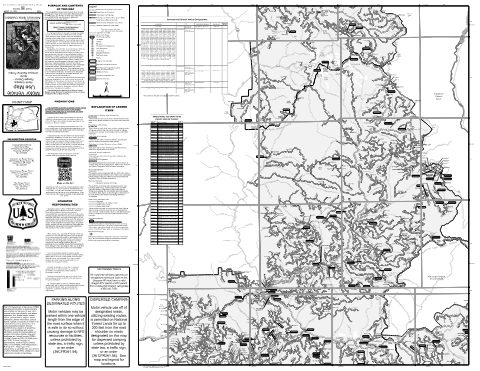
North Umpqua Ranger District - North Motor Vehicle Use Map (MVUM) — Umpqua National Forest (2024)
Forest Service Maps (public domain) · Umpqua National Forest
Public domain
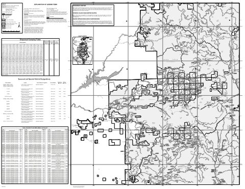
Sweet Home Ranger District Motor Vehicle Use Map (MVUM) — Willamette National Forest (2025)
Forest Service Maps (public domain) · Willamette National Forest
Public domain
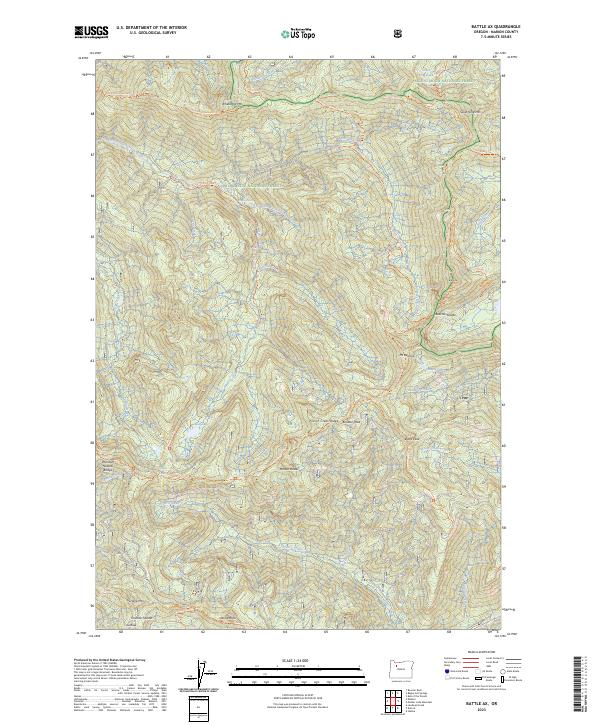
Battle Ax, OR — USGS 7.5-minute topo (2023)
USGS Topo Maps (public domain) · Oregon
Public domain
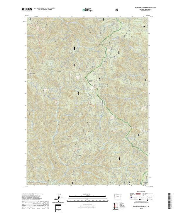
Bearbones Mountain, OR — USGS 7.5-minute topo (2024)
USGS Topo Maps (public domain) · Oregon
Public domain
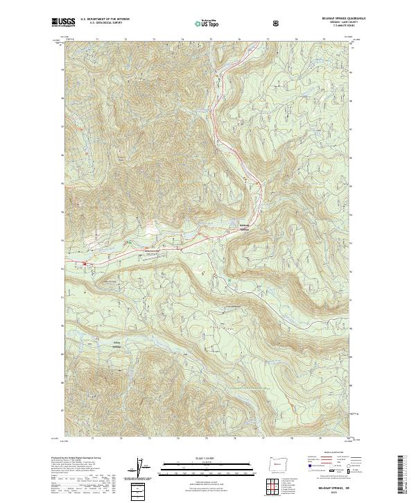
Belknap Springs, OR — USGS 7.5-minute topo (2023)
USGS Topo Maps (public domain) · Oregon
Public domain
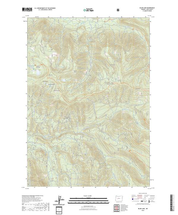
Blair Lake, OR — USGS 7.5-minute topo (2024)
USGS Topo Maps (public domain) · Oregon
Public domain
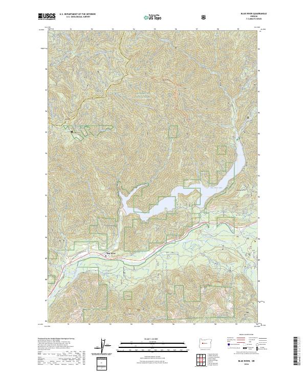
Blue River, OR — USGS 7.5-minute topo (2024)
USGS Topo Maps (public domain) · Oregon
Public domain
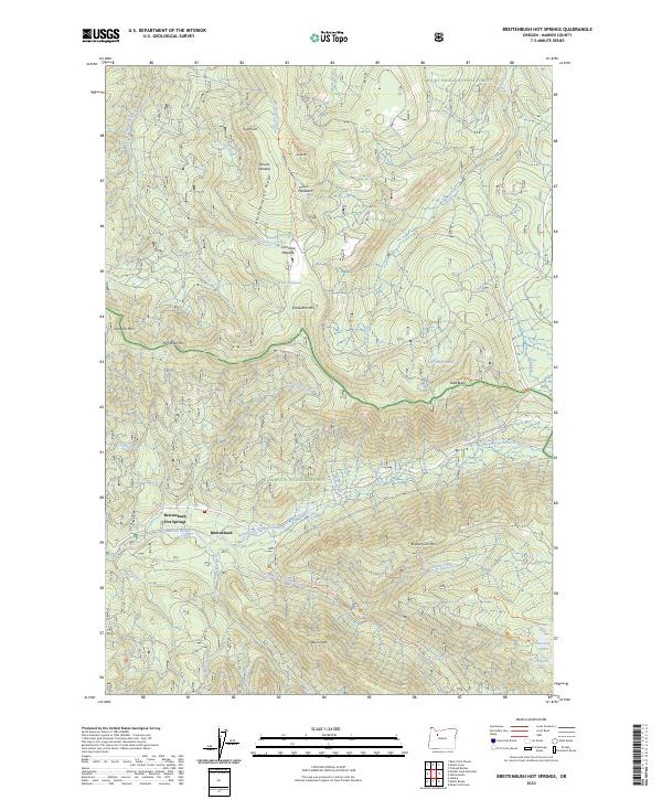
Breitenbush Hot Springs, OR — USGS 7.5-minute topo (2023)
USGS Topo Maps (public domain) · Oregon
Public domain
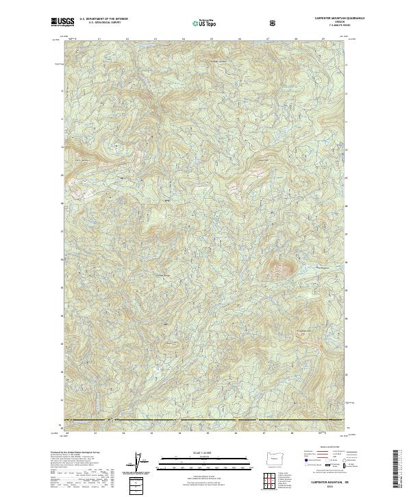
Carpenter Mountain, OR — USGS 7.5-minute topo (2023)
USGS Topo Maps (public domain) · Oregon
Public domain
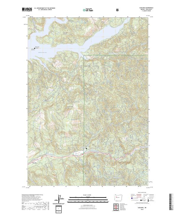
Cascadia, OR — USGS 7.5-minute topo (2024)
USGS Topo Maps (public domain) · Oregon
Public domain
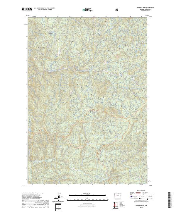
Chimney Peak, OR — USGS 7.5-minute topo (2023)
USGS Topo Maps (public domain) · Oregon
Public domain
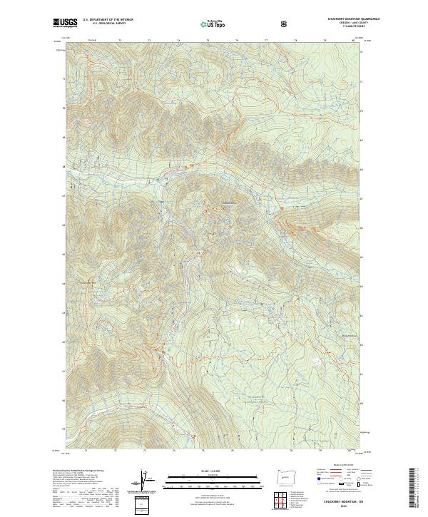
Chucksney Mountain, OR — USGS 7.5-minute topo (2023)
USGS Topo Maps (public domain) · Oregon
Public domain
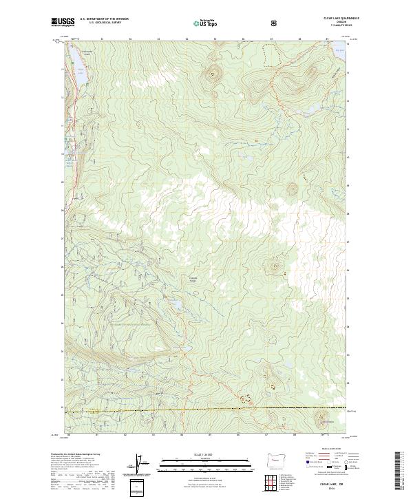
Clear Lake, OR — USGS 7.5-minute topo (2024)
USGS Topo Maps (public domain) · Oregon
Public domain
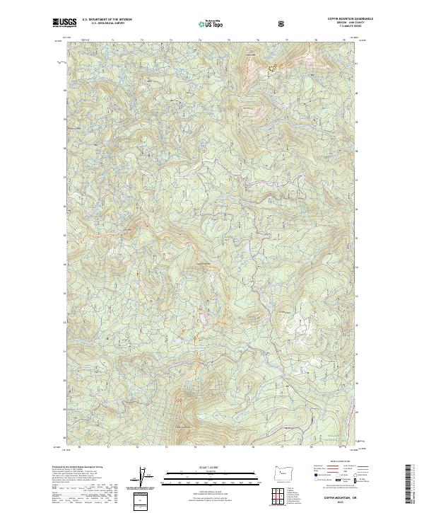
Coffin Mountain, OR — USGS 7.5-minute topo (2023)
USGS Topo Maps (public domain) · Oregon
Public domain
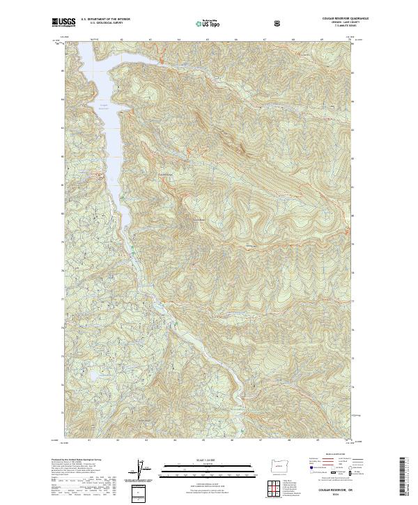
Cougar Reservoir, OR — USGS 7.5-minute topo (2024)
USGS Topo Maps (public domain) · Oregon
Public domain
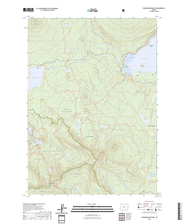
Cowhorn Mountain, OR — USGS 7.5-minute topo (2023)
USGS Topo Maps (public domain) · Oregon
Public domain
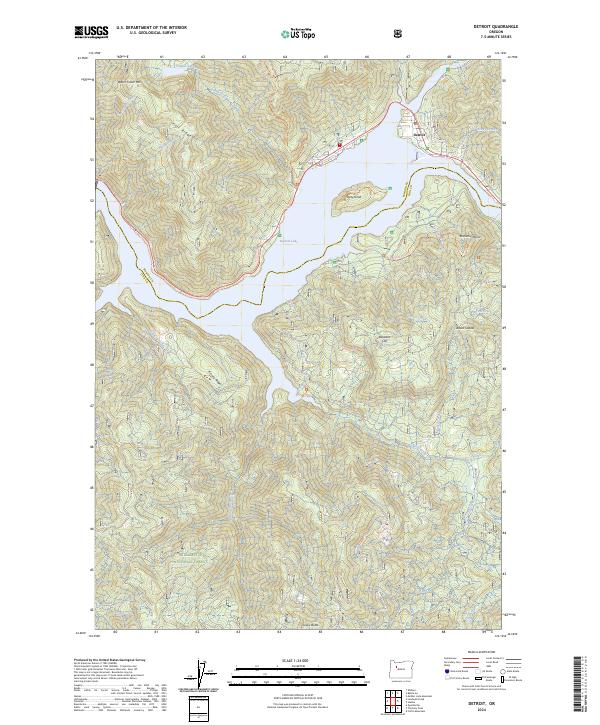
Detroit, OR — USGS 7.5-minute topo (2024)
USGS Topo Maps (public domain) · Oregon
Public domain
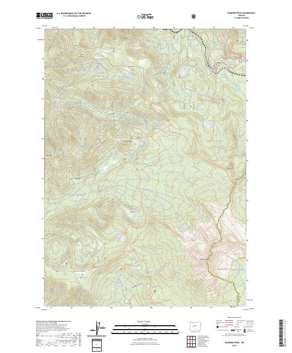
Diamond Peak, OR — USGS 7.5-minute topo (2024)
USGS Topo Maps (public domain) · Oregon
Public domain
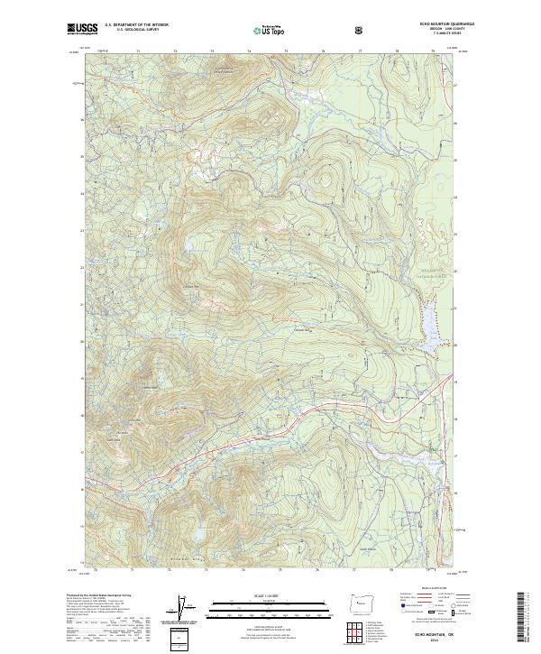
Echo Mountain, OR — USGS 7.5-minute topo (2024)
USGS Topo Maps (public domain) · Oregon
Public domain
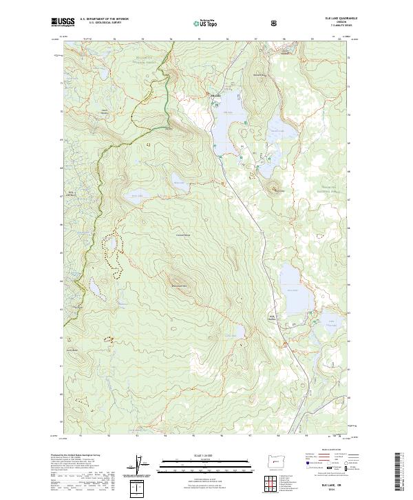
Elk Lake, OR — USGS 7.5-minute topo (2024)
USGS Topo Maps (public domain) · Oregon
Public domain
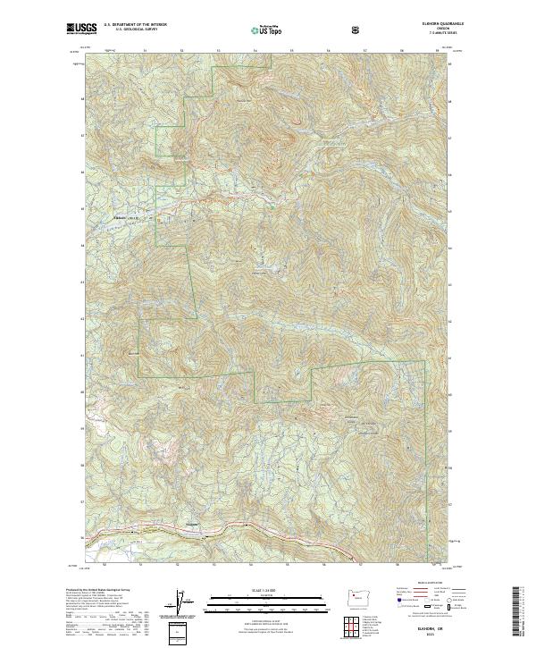
Elkhorn, OR — USGS 7.5-minute topo (2023)
USGS Topo Maps (public domain) · Oregon
Public domain
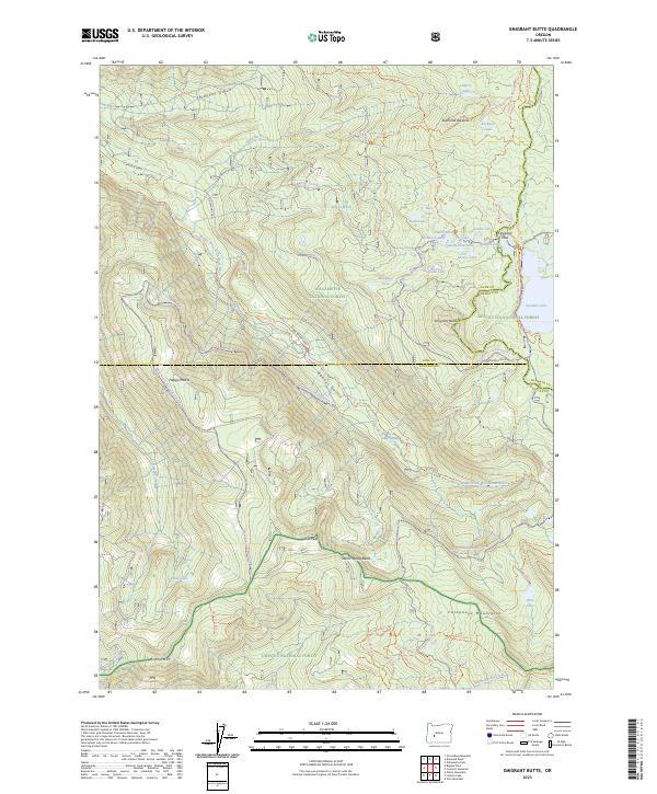
Emigrant Butte, OR — USGS 7.5-minute topo (2023)
USGS Topo Maps (public domain) · Oregon
Public domain
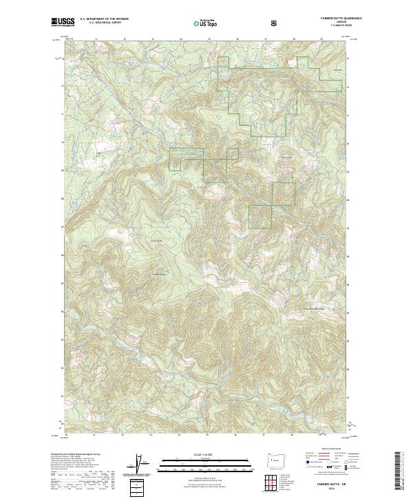
Farmers Butte, OR — USGS 7.5-minute topo (2024)
USGS Topo Maps (public domain) · Oregon
Public domain
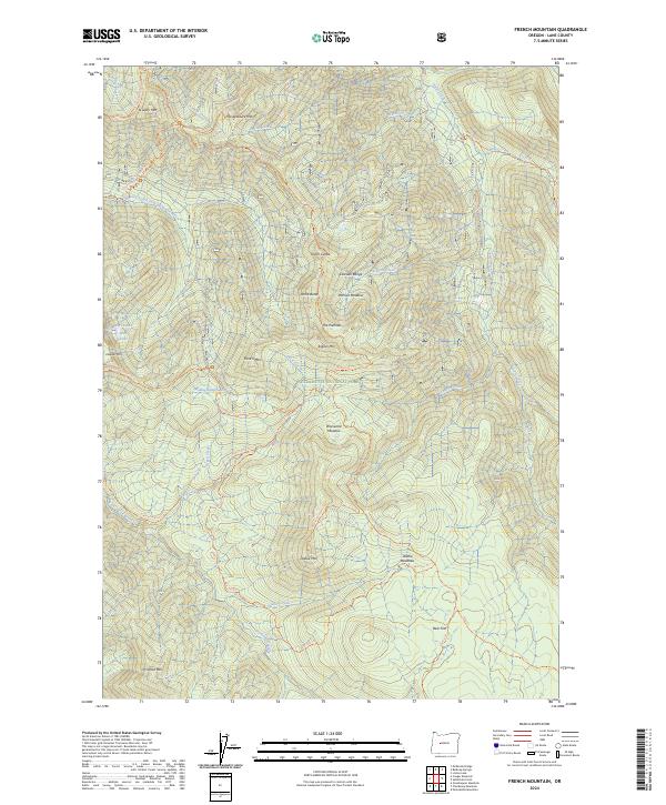
French Mountain, OR — USGS 7.5-minute topo (2024)
USGS Topo Maps (public domain) · Oregon
Public domain
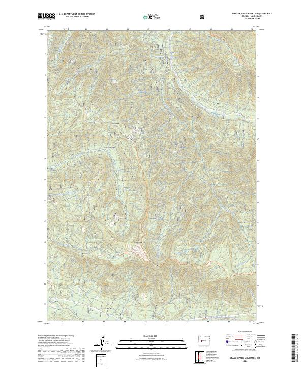
Grasshopper Mountain, OR — USGS 7.5-minute topo (2024)
USGS Topo Maps (public domain) · Oregon
Public domain
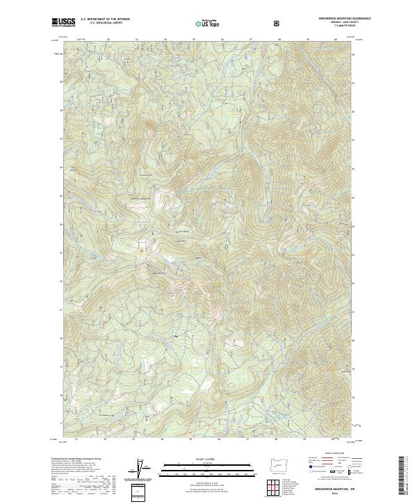
Groundhog Mountain, OR — USGS 7.5-minute topo (2024)
USGS Topo Maps (public domain) · Oregon
Public domain
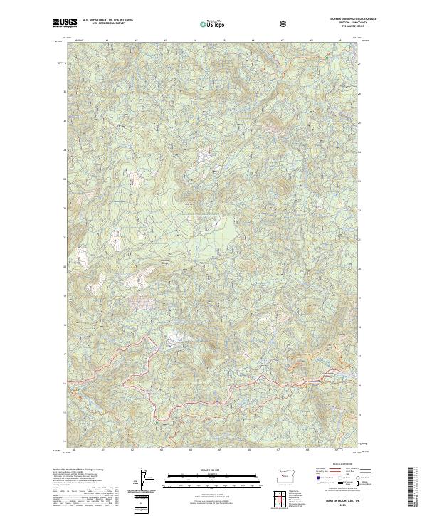
Harter Mountain, OR — USGS 7.5-minute topo (2023)
USGS Topo Maps (public domain) · Oregon
Public domain
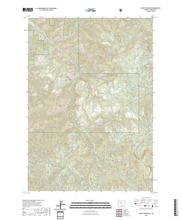
Harvey Mountain, OR — USGS 7.5-minute topo (2023)
USGS Topo Maps (public domain) · Oregon
Public domain
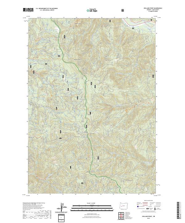
Holland Point, OR — USGS 7.5-minute topo (2023)
USGS Topo Maps (public domain) · Oregon
Public domain
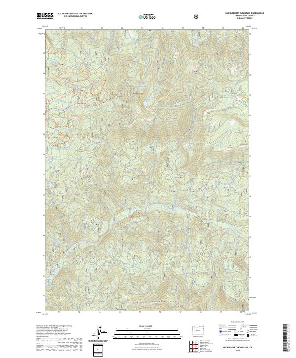
Huckleberry Mountain, OR — USGS 7.5-minute topo (2024)
USGS Topo Maps (public domain) · Oregon
Public domain
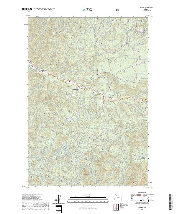
Idanha, OR — USGS 7.5-minute topo (2024)
USGS Topo Maps (public domain) · Oregon
Public domain
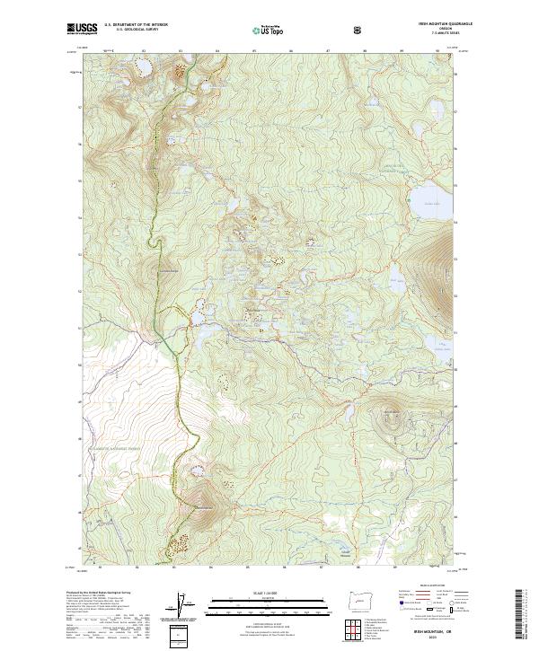
Irish Mountain, OR — USGS 7.5-minute topo (2023)
USGS Topo Maps (public domain) · Oregon
Public domain
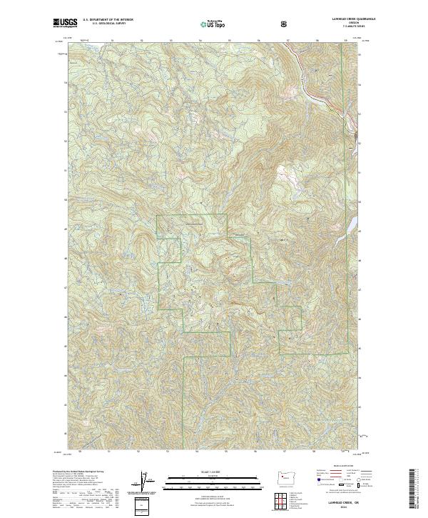
Lawhead Creek, OR — USGS 7.5-minute topo (2024)
USGS Topo Maps (public domain) · Oregon
Public domain
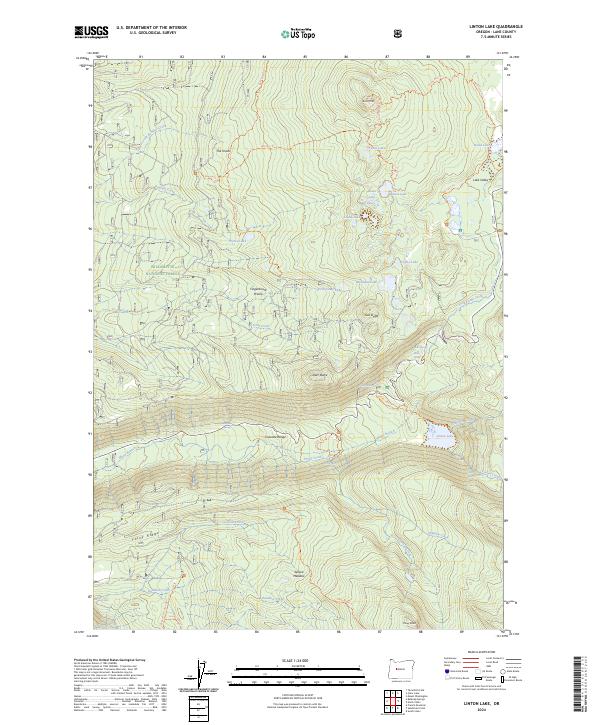
Linton Lake, OR — USGS 7.5-minute topo (2024)
USGS Topo Maps (public domain) · Oregon
Public domain
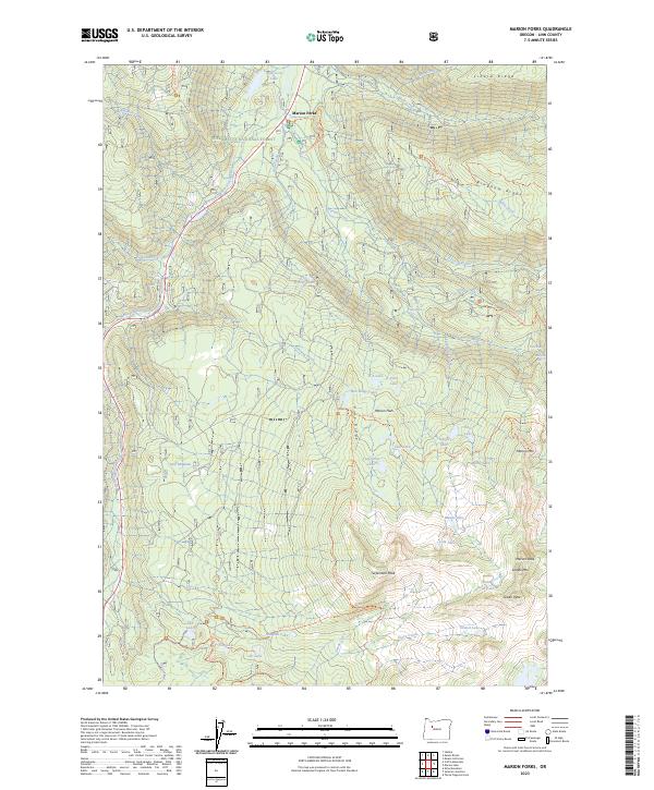
Marion Forks, OR — USGS 7.5-minute topo (2023)
USGS Topo Maps (public domain) · Oregon
Public domain
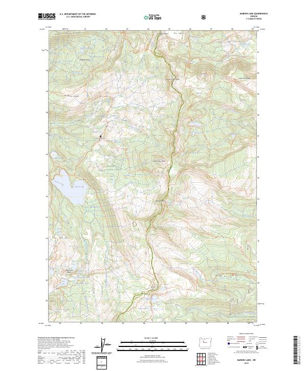
Marion Lake, OR — USGS 7.5-minute topo (2023)
USGS Topo Maps (public domain) · Oregon
Public domain
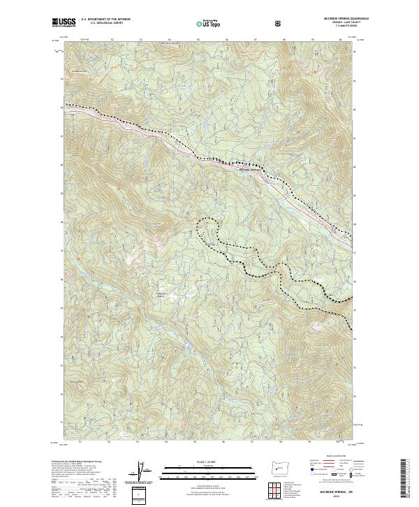
McCredie Springs, OR — USGS 7.5-minute topo (2023)
USGS Topo Maps (public domain) · Oregon
Public domain
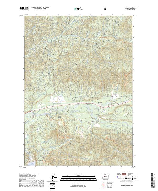
McKenzie Bridge, OR — USGS 7.5-minute topo (2023)
USGS Topo Maps (public domain) · Oregon
Public domain
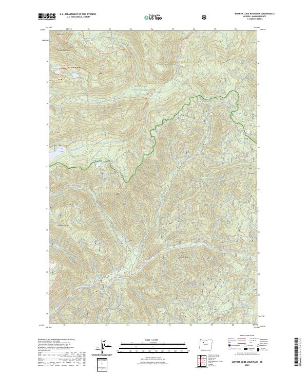
Mother Lode Mountain, OR — USGS 7.5-minute topo (2023)
USGS Topo Maps (public domain) · Oregon
Public domain

Mount Bruno, OR — USGS 7.5-minute topo (2023)
USGS Topo Maps (public domain) · Oregon
Public domain
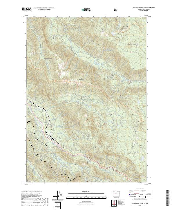
Mount David Douglas, OR — USGS 7.5-minute topo (2023)
USGS Topo Maps (public domain) · Oregon
Public domain
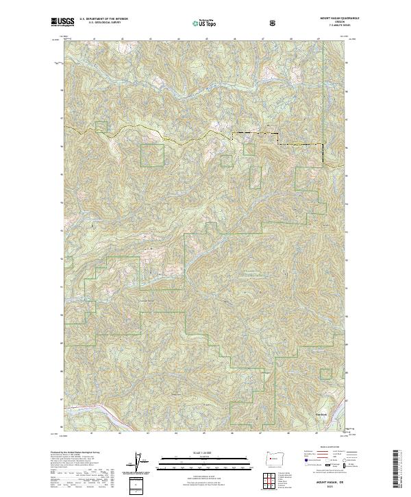
Mount Hagan, OR — USGS 7.5-minute topo (2023)
USGS Topo Maps (public domain) · Oregon
Public domain
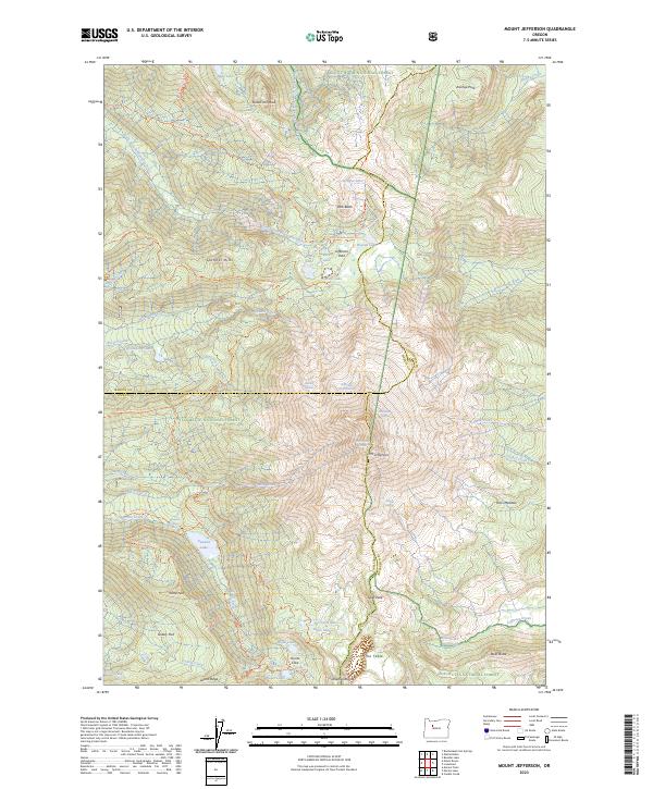
Mount Jefferson, OR — USGS 7.5-minute topo (2023)
USGS Topo Maps (public domain) · Oregon
Public domain
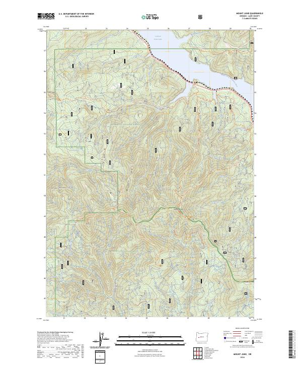
Mount June, OR — USGS 7.5-minute topo (2024)
USGS Topo Maps (public domain) · Oregon
Public domain
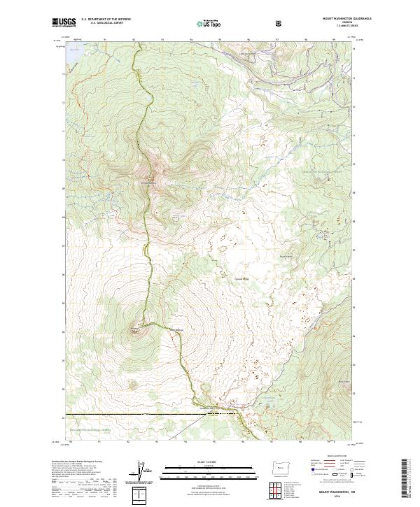
Mount Washington, OR — USGS 7.5-minute topo (2024)
USGS Topo Maps (public domain) · Oregon
Public domain
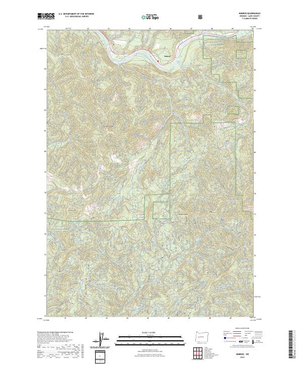
Nimrod, OR — USGS 7.5-minute topo (2023)
USGS Topo Maps (public domain) · Oregon
Public domain
See all 87 maps of Willamette National Forest
USGS quads are listed when part of the sheet falls inside the boundary. Boundary: USDA Forest Service, simplified.
More places nearby
- Deschutes National Forest
- Umpqua National Forest
- Siuslaw National Forest
- Mt. Hood National Forest
- Crater Lake National Park
- Ochoco National Forest
- Columbia River Gorge National Scenic Area
- Fremont-Winema National Forest
- John Day Fossil Beds National Monument
- Rogue River-Siskiyou National Forests
- Oregon Caves National Monument and Preserve
- Malheur National Forest
- Klamath National Forest
- Umatilla National Forest
- Wallowa-Whitman National Forest