Colville National Forest maps
National forest in Washington, managed by the USDA Forest Service.
Cartahaven has 107 maps covering Colville National Forest: 10 Forest Service maps and 97 USGS 7.5-minute topo quads. All of them are free. Download one to your phone and the map app shows your GPS position on it with no cell signal, along with your tracks, placemarks and, in the US, who manages the land around you.
Check current conditions, closures and regulations with the USDA Forest Service before you go. Maps are aids, not guarantees.
Where each map covers
First 60 of 107 maps
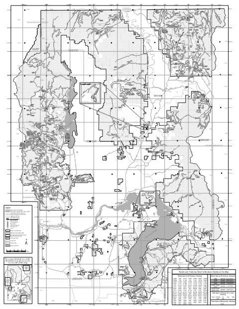
Kaniksu Motor Vehicle Use Map (MVUM) Back — Idaho Panhandle National Forests (2019)
Forest Service Maps (public domain) · Idaho Panhandle National Forests
Public domain
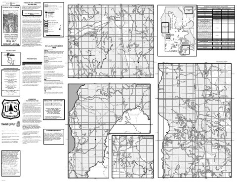
Kaniksu Motor Vehicle Use Map (MVUM) Front — Idaho Panhandle National Forests (2019)
Forest Service Maps (public domain) · Idaho Panhandle National Forests
Public domain
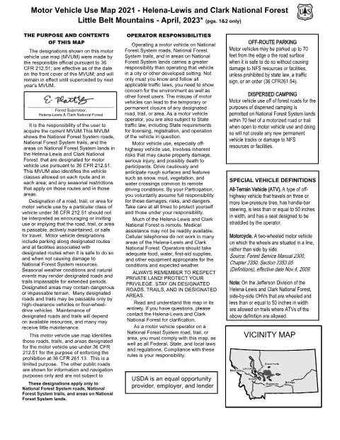
Little Belt Mountains Motor Vehicle Use Map (MVUM) — Helena-Lewis and Clark National Forest (2023)
Forest Service Maps (public domain) · Helena-Lewis and Clark National Forest
Public domain
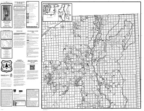
Motor Vehicle Use Map (MVUM) - Northeast of the Forest — Colville National Forest (2025)
Forest Service Maps (public domain) · Colville National Forest
Public domain
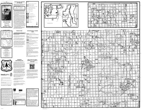
Motor Vehicle Use Map (MVUM) - Northwest of the Forest — Colville National Forest (2025)
Forest Service Maps (public domain) · Colville National Forest
Public domain
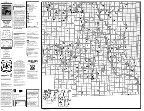
Motor Vehicle Use Map (MVUM) - Southeast of the Forest — Colville National Forest (2025)
Forest Service Maps (public domain) · Colville National Forest
Public domain
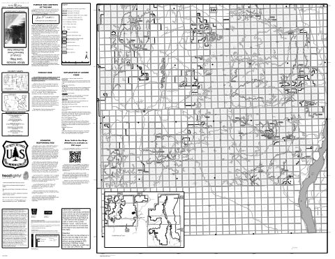
Motor Vehicle Use Map (MVUM) - Southwest of the Forest — Colville National Forest (2025)
Forest Service Maps (public domain) · Colville National Forest
Public domain
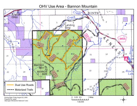
Tonasket OHV Map Bannon Mtn Motor Vehicle Use Map (MVUM) — Colville National Forest
Forest Service Maps (public domain) · Colville National Forest
Public domain
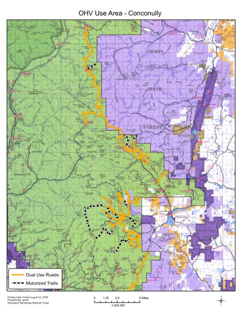
Tonasket OHV Map Conconully Motor Vehicle Use Map (MVUM) — Colville National Forest
Forest Service Maps (public domain) · Colville National Forest
Public domain
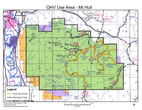
Tonasket OHV Map Mt Hull Motor Vehicle Use Map (MVUM) — Colville National Forest
Forest Service Maps (public domain) · Colville National Forest
Public domain
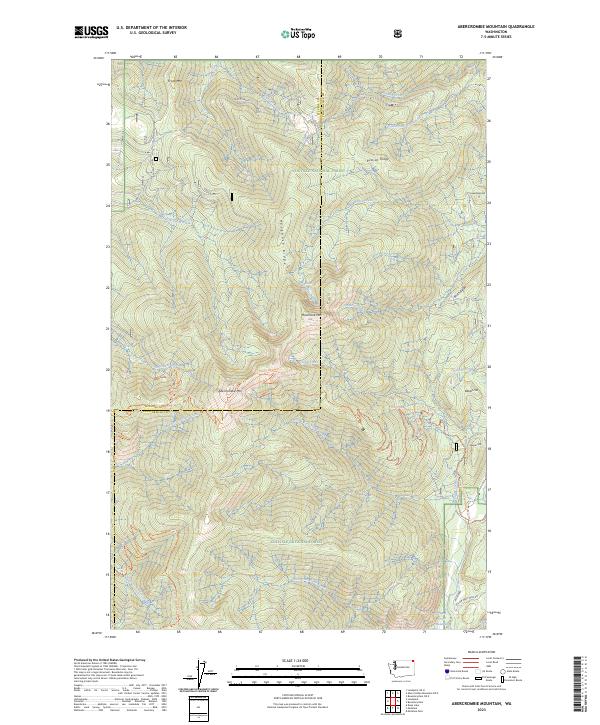
Abercrombie Mountain, WA — USGS 7.5-minute topo (2023)
USGS Topo Maps (public domain) · Washington
Public domain
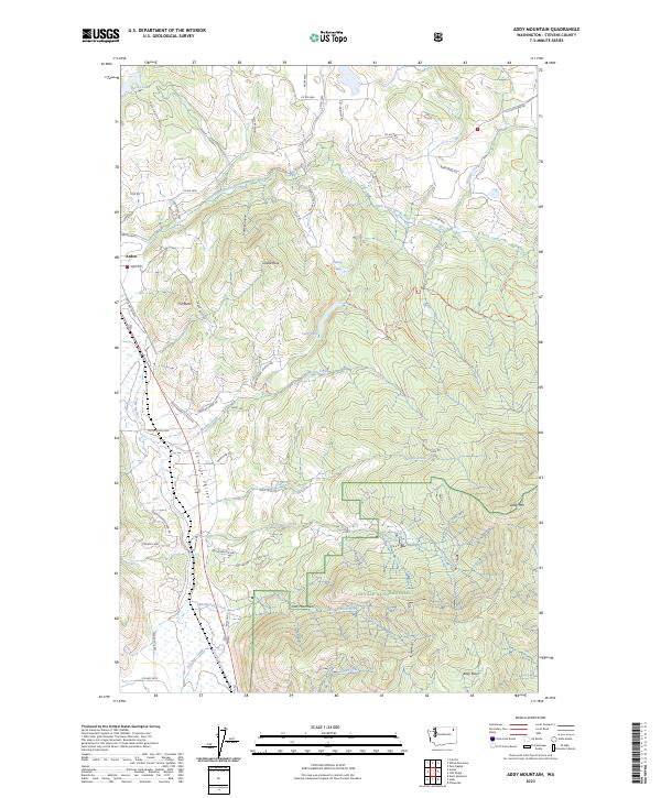
Addy Mountain, WA — USGS 7.5-minute topo (2023)
USGS Topo Maps (public domain) · Washington
Public domain
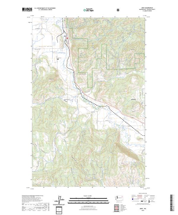
Addy, WA — USGS 7.5-minute topo (2023)
USGS Topo Maps (public domain) · Washington
Public domain
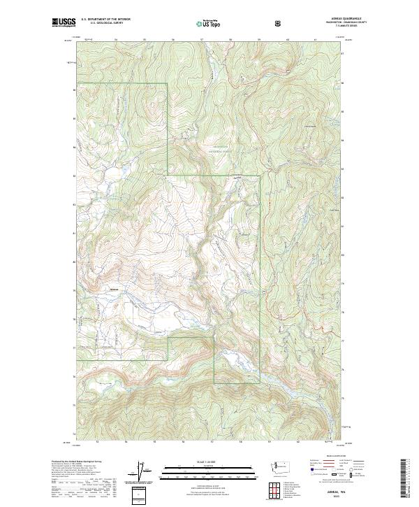
Aeneas, WA — USGS 7.5-minute topo (2023)
USGS Topo Maps (public domain) · Washington
Public domain
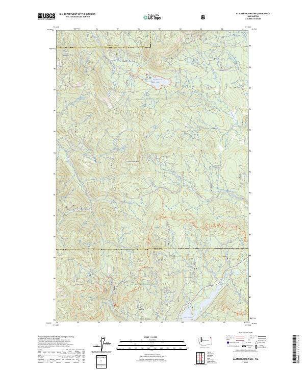
Aladdin Mountain, WA — USGS 7.5-minute topo (2023)
USGS Topo Maps (public domain) · Washington
Public domain
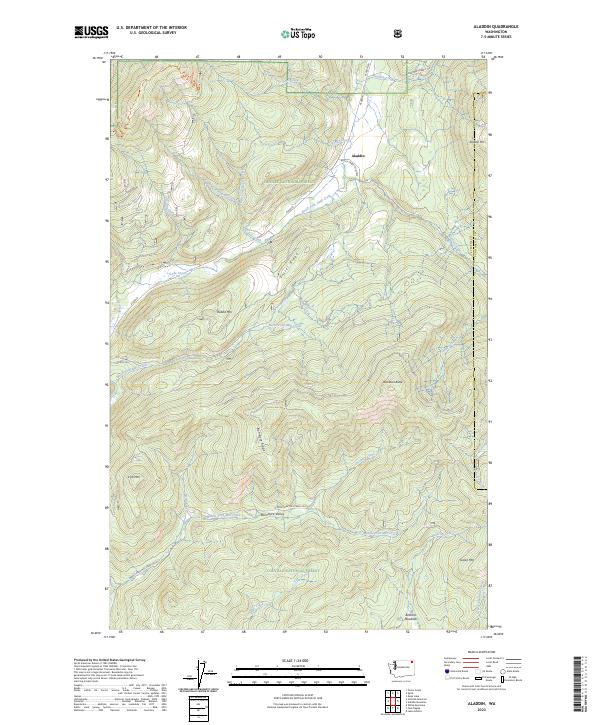
Aladdin, WA — USGS 7.5-minute topo (2023)
USGS Topo Maps (public domain) · Washington
Public domain
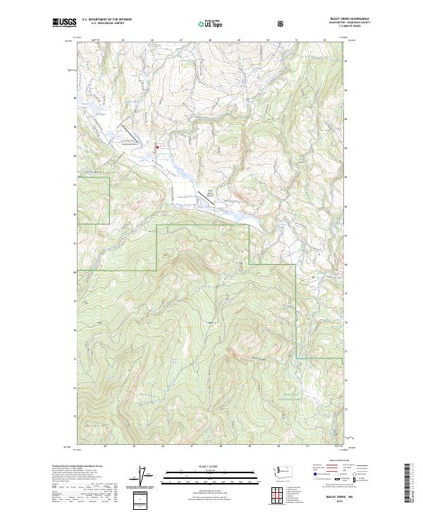
Bailey Creek, WA — USGS 7.5-minute topo (2023)
USGS Topo Maps (public domain) · Washington
Public domain
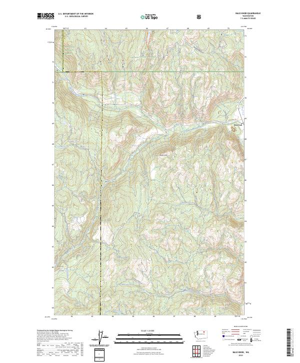
Bald Knob, WA — USGS 7.5-minute topo (2023)
USGS Topo Maps (public domain) · Washington
Public domain
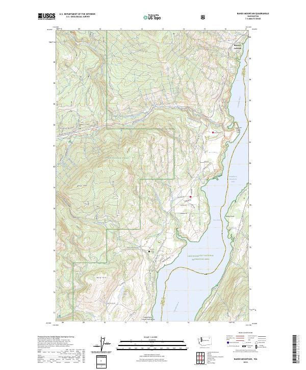
Bangs Mountain, WA — USGS 7.5-minute topo (2023)
USGS Topo Maps (public domain) · Washington
Public domain
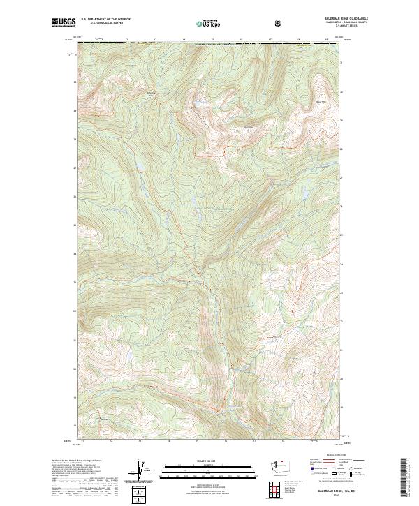
Bauerman Ridge, WA-BC — USGS 7.5-minute topo (2023)
USGS Topo Maps (public domain) · Washington, BC
Public domain
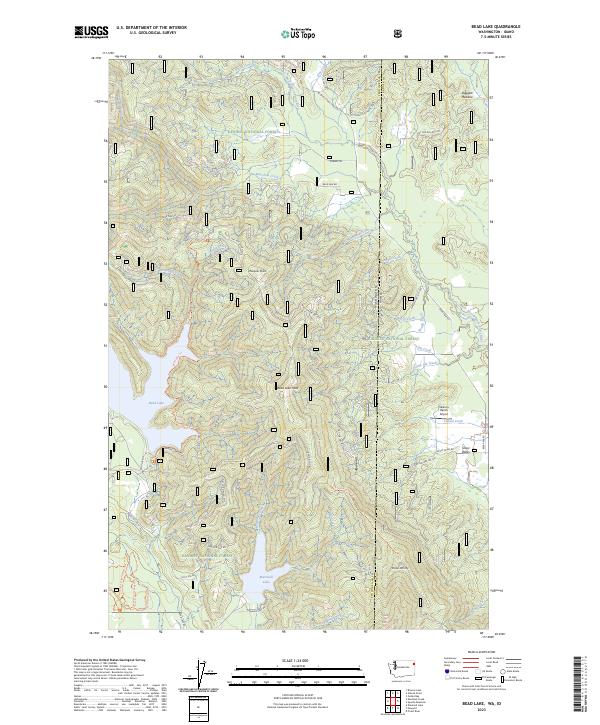
Bead Lake, WA-ID — USGS 7.5-minute topo (2023)
USGS Topo Maps (public domain) · Washington, Idaho
Public domain
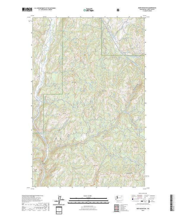
Bear Mountain, WA — USGS 7.5-minute topo (2023)
USGS Topo Maps (public domain) · Washington
Public domain
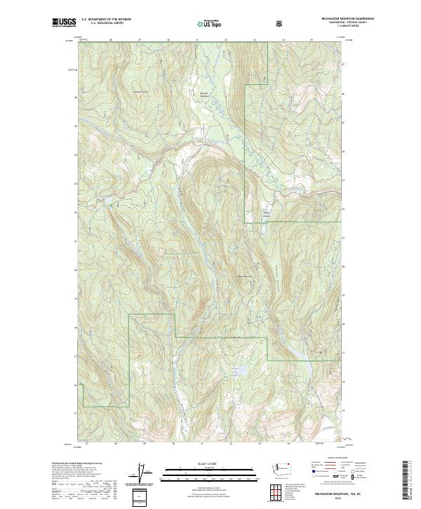
Belshazzar Mountain, WA-BC — USGS 7.5-minute topo (2023)
USGS Topo Maps (public domain) · Washington, BC
Public domain
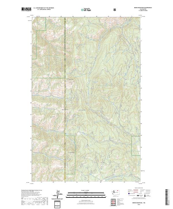
Bodie Mountain, WA — USGS 7.5-minute topo (2023)
USGS Topo Maps (public domain) · Washington
Public domain
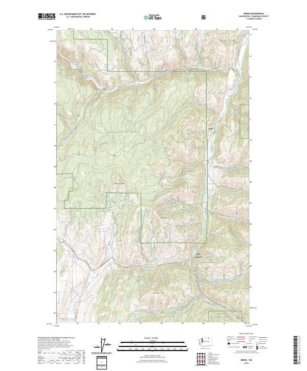
Bodie, WA — USGS 7.5-minute topo (2023)
USGS Topo Maps (public domain) · Washington
Public domain
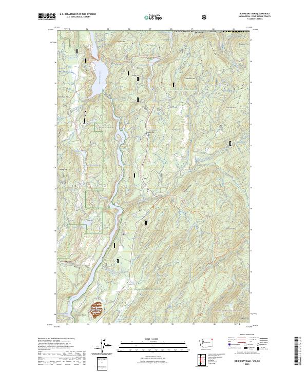
Boundary Dam, WA-BC — USGS 7.5-minute topo (2023)
USGS Topo Maps (public domain) · Washington, BC
Public domain
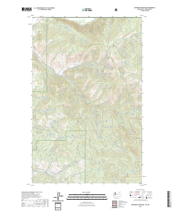
Boundary Mountain, WA-BC — USGS 7.5-minute topo (2023)
USGS Topo Maps (public domain) · Washington, BC
Public domain
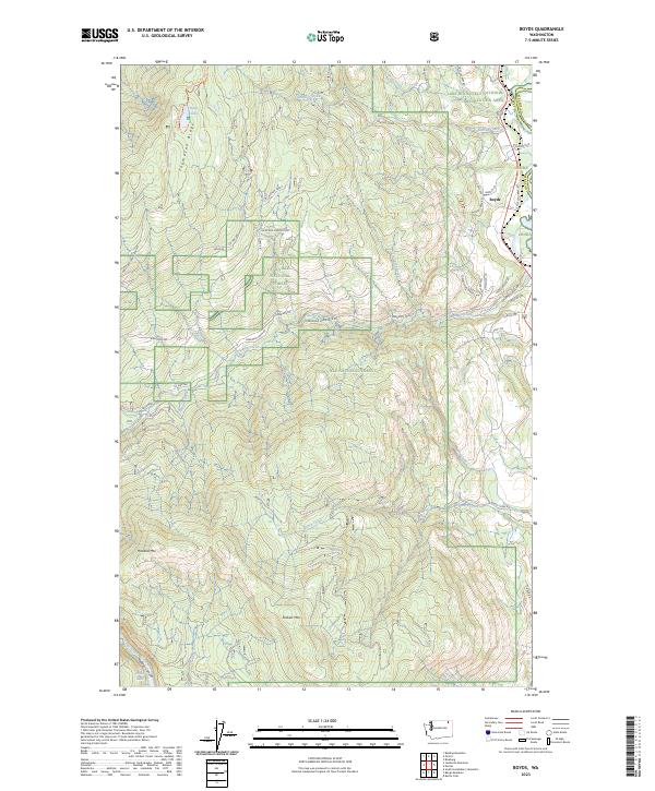
Boyds, WA — USGS 7.5-minute topo (2023)
USGS Topo Maps (public domain) · Washington
Public domain
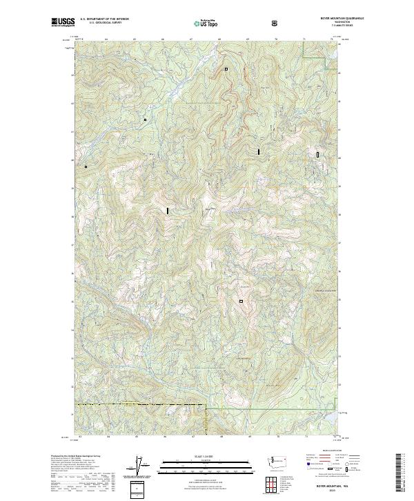
Boyer Mountain, WA — USGS 7.5-minute topo (2023)
USGS Topo Maps (public domain) · Washington
Public domain
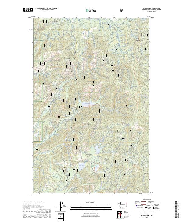
Browns Lake, WA — USGS 7.5-minute topo (2023)
USGS Topo Maps (public domain) · Washington
Public domain
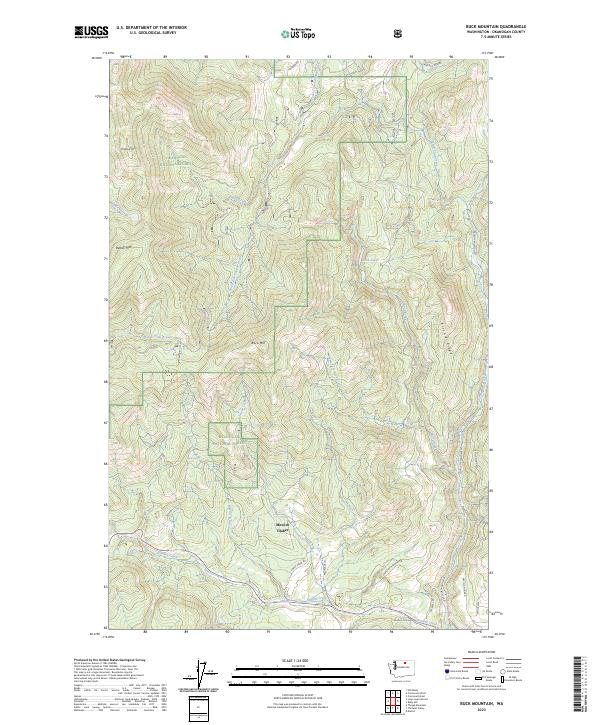
Buck Mountain, WA — USGS 7.5-minute topo (2023)
USGS Topo Maps (public domain) · Washington
Public domain
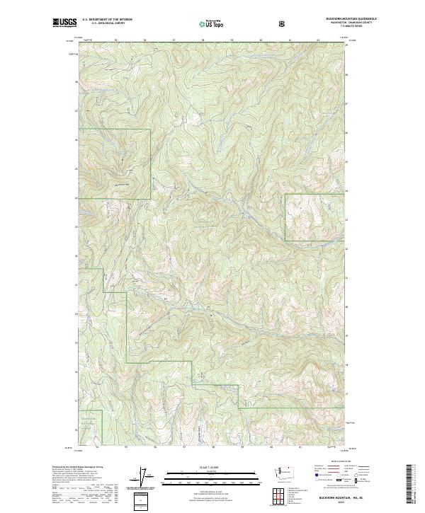
Buckhorn Mountain, WA-BC — USGS 7.5-minute topo (2023)
USGS Topo Maps (public domain) · Washington, BC
Public domain
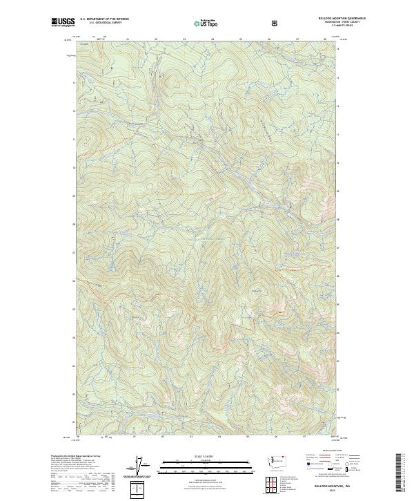
Bulldog Mountain, WA — USGS 7.5-minute topo (2023)
USGS Topo Maps (public domain) · Washington
Public domain
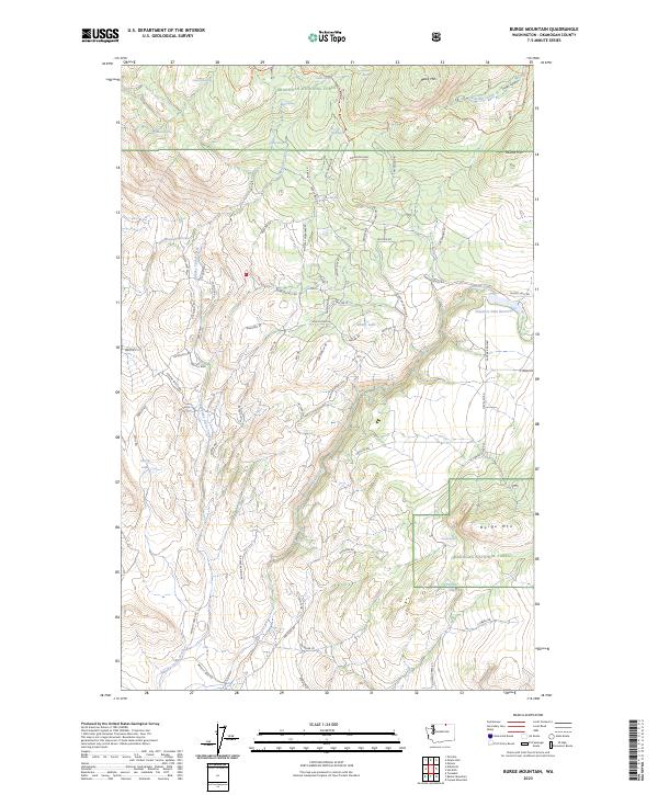
Burge Mountain, WA — USGS 7.5-minute topo (2023)
USGS Topo Maps (public domain) · Washington
Public domain

Calispell Peak, WA — USGS 7.5-minute topo (2023)
USGS Topo Maps (public domain) · Washington
Public domain
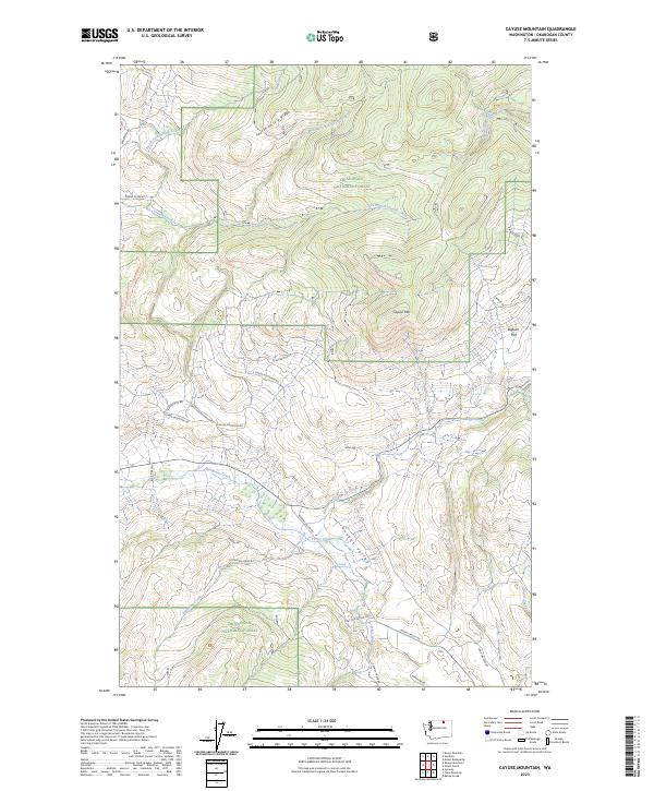
Cayuse Mountain, WA — USGS 7.5-minute topo (2023)
USGS Topo Maps (public domain) · Washington
Public domain
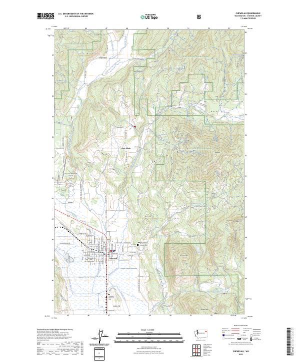
Chewelah, WA — USGS 7.5-minute topo (2023)
USGS Topo Maps (public domain) · Washington
Public domain
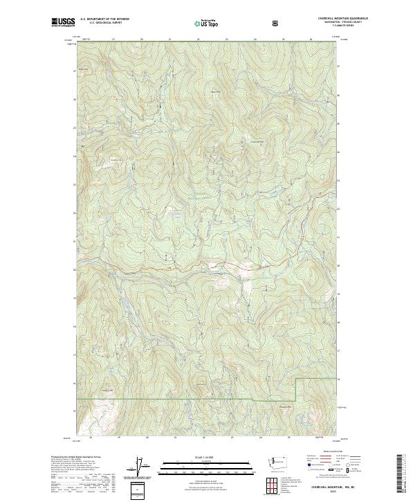
Churchill Mountain, WA-BC — USGS 7.5-minute topo (2023)
USGS Topo Maps (public domain) · Washington, BC
Public domain
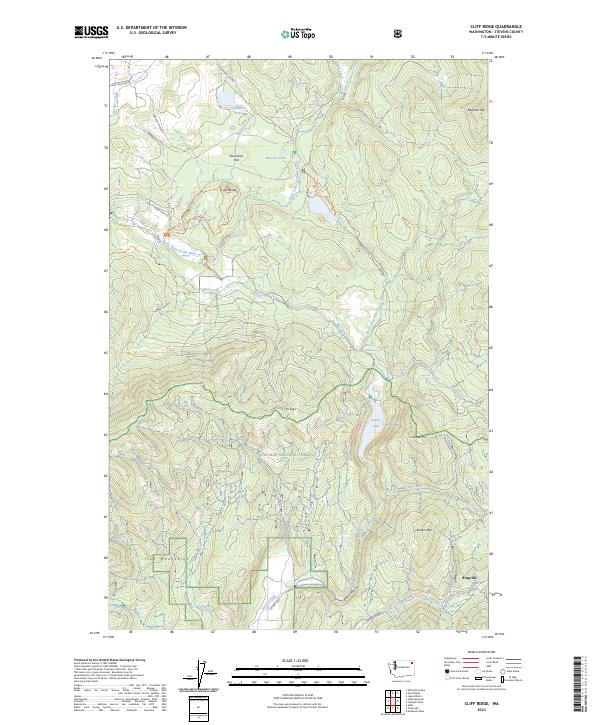
Cliff Ridge, WA — USGS 7.5-minute topo (2023)
USGS Topo Maps (public domain) · Washington
Public domain
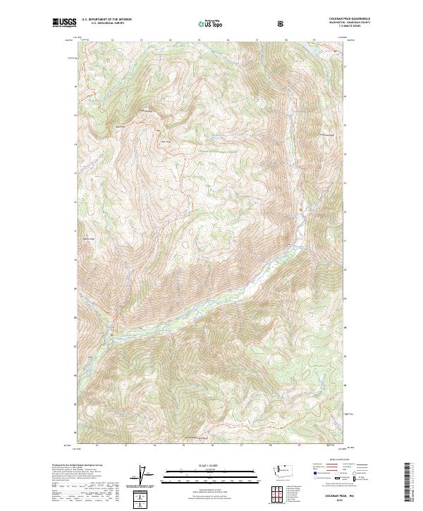
Coleman Peak, WA — USGS 7.5-minute topo (2023)
USGS Topo Maps (public domain) · Washington
Public domain
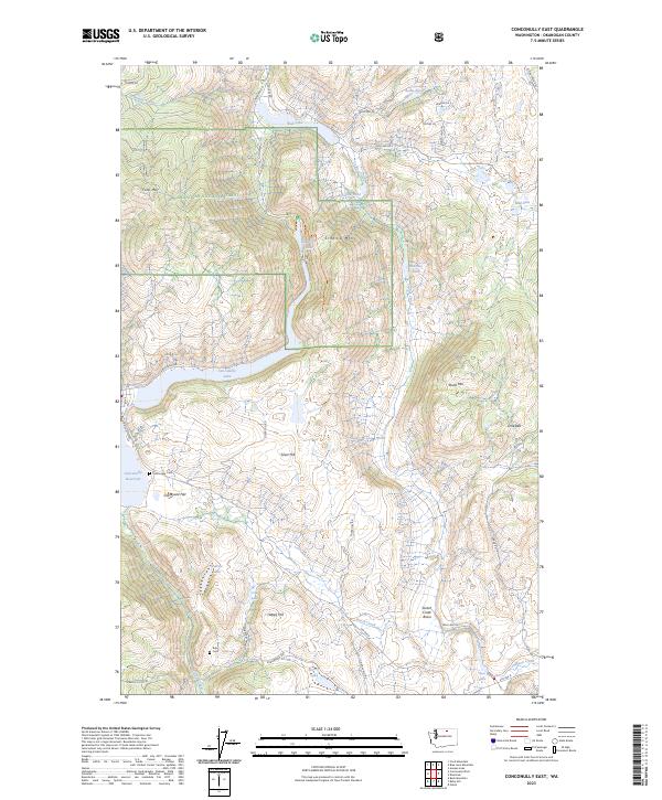
Conconully East, WA — USGS 7.5-minute topo (2023)
USGS Topo Maps (public domain) · Washington
Public domain
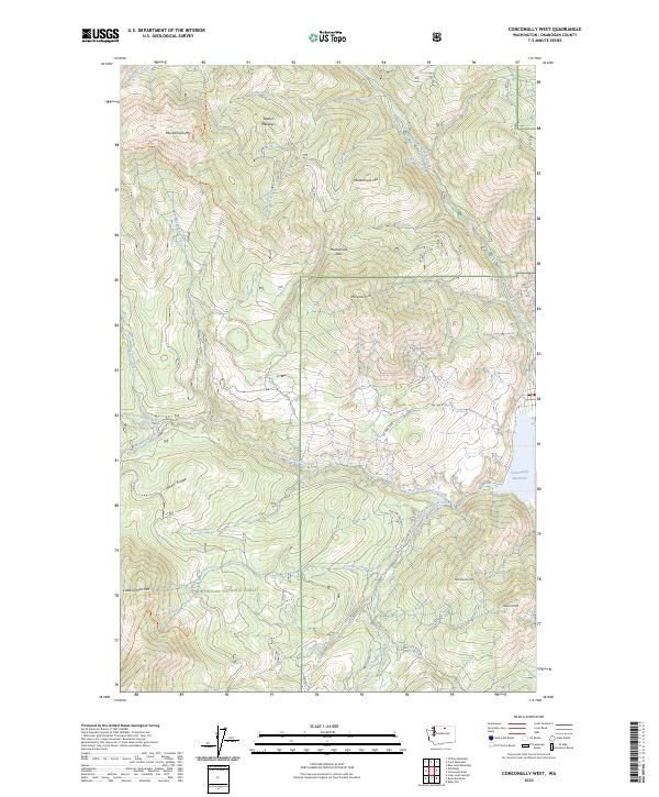
Conconully West, WA — USGS 7.5-minute topo (2023)
USGS Topo Maps (public domain) · Washington
Public domain
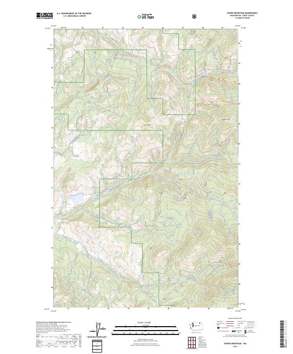
Cooke Mountain, WA — USGS 7.5-minute topo (2023)
USGS Topo Maps (public domain) · Washington
Public domain
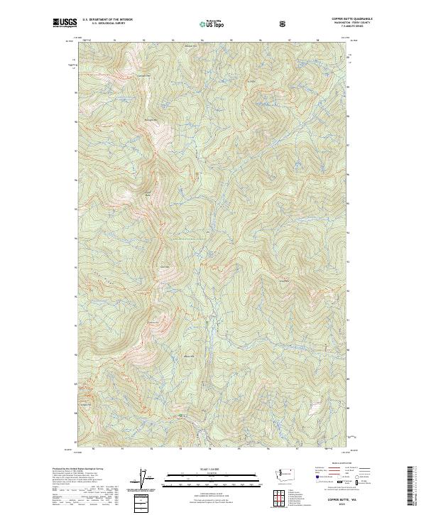
Copper Butte, WA — USGS 7.5-minute topo (2023)
USGS Topo Maps (public domain) · Washington
Public domain
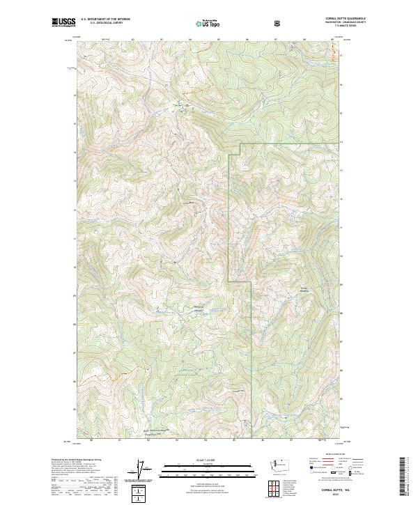
Corral Butte, WA — USGS 7.5-minute topo (2023)
USGS Topo Maps (public domain) · Washington
Public domain
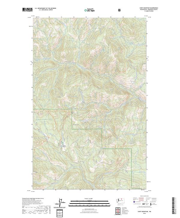
Coxit Mountain, WA — USGS 7.5-minute topo (2023)
USGS Topo Maps (public domain) · Washington
Public domain
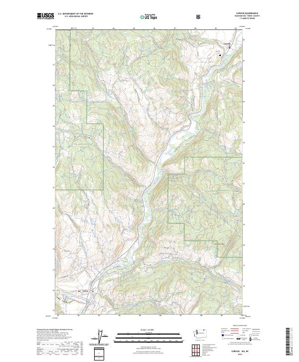
Curlew, WA-BC — USGS 7.5-minute topo (2023)
USGS Topo Maps (public domain) · Washington, BC
Public domain
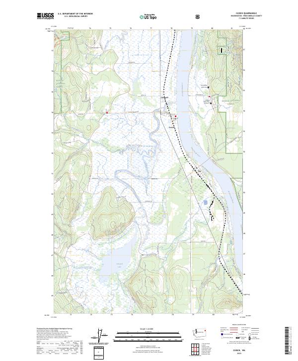
Cusick, WA — USGS 7.5-minute topo (2023)
USGS Topo Maps (public domain) · Washington
Public domain
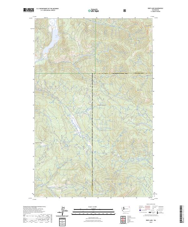
Deep Lake, WA — USGS 7.5-minute topo (2023)
USGS Topo Maps (public domain) · Washington
Public domain

Duncan Ridge, WA — USGS 7.5-minute topo (2023)
USGS Topo Maps (public domain) · Washington
Public domain
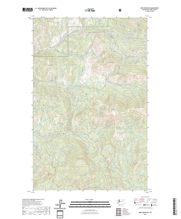
Edds Mountain, WA — USGS 7.5-minute topo (2023)
USGS Topo Maps (public domain) · Washington
Public domain
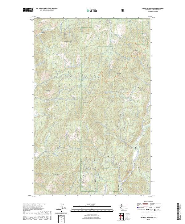
Gillette Mountain, WA — USGS 7.5-minute topo (2023)
USGS Topo Maps (public domain) · Washington
Public domain
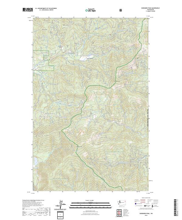
Goddards Peak, WA — USGS 7.5-minute topo (2023)
USGS Topo Maps (public domain) · Washington
Public domain
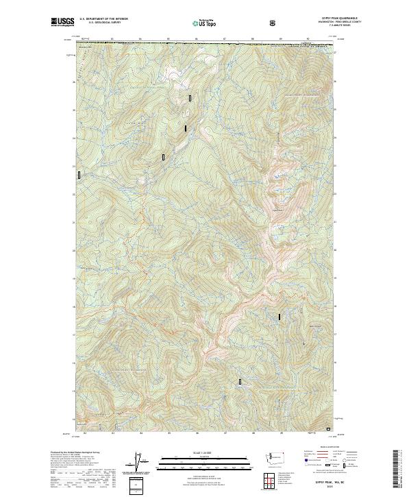
Gypsy Peak, WA-BC — USGS 7.5-minute topo (2023)
USGS Topo Maps (public domain) · Washington, BC
Public domain
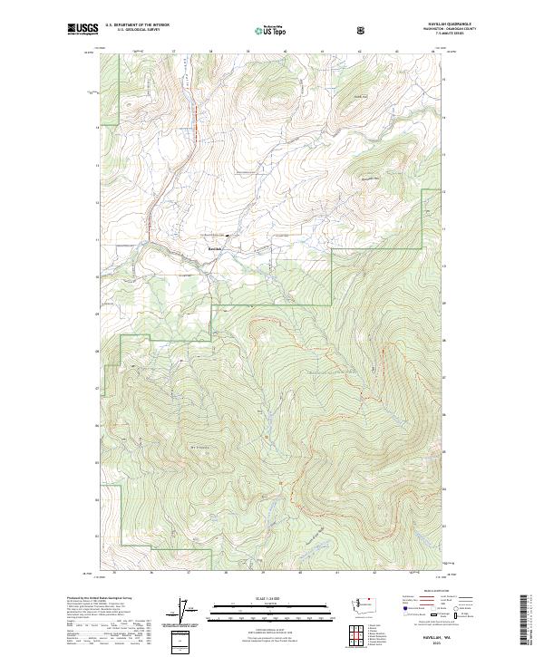
Havillah, WA — USGS 7.5-minute topo (2023)
USGS Topo Maps (public domain) · Washington
Public domain
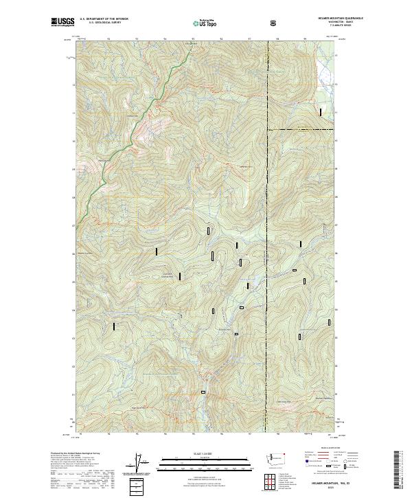
Helmer Mountain, WA-ID — USGS 7.5-minute topo (2023)
USGS Topo Maps (public domain) · Washington, Idaho
Public domain
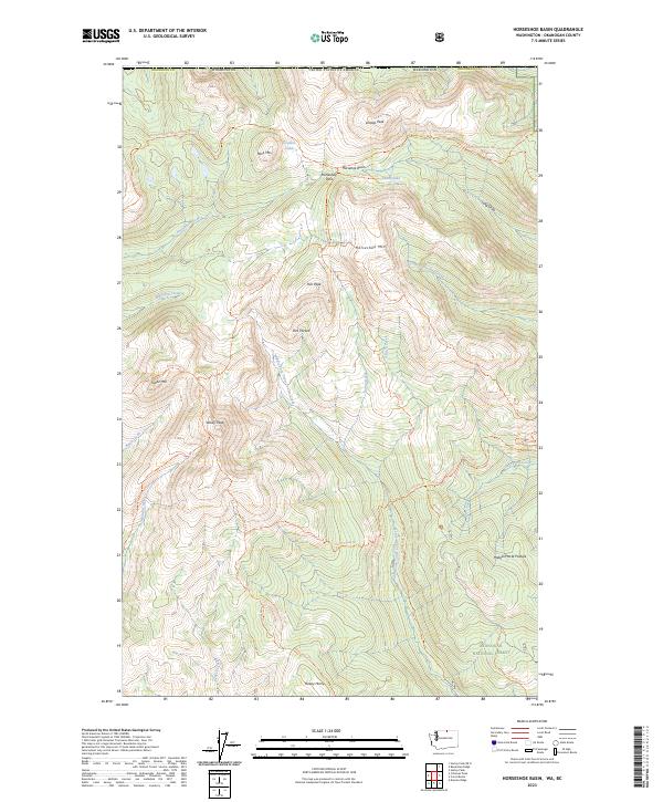
Horseshoe Basin, WA-BC — USGS 7.5-minute topo (2023)
USGS Topo Maps (public domain) · Washington, BC
Public domain
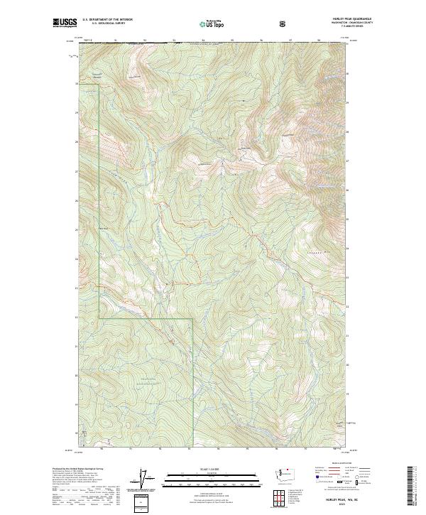
Hurley Peak, WA-BC — USGS 7.5-minute topo (2023)
USGS Topo Maps (public domain) · Washington, BC
Public domain
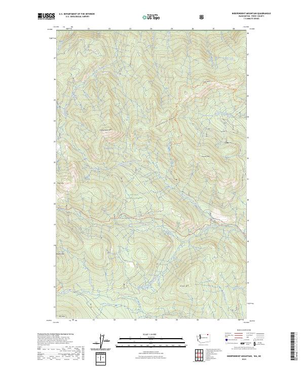
Independent Mountain, WA-BC — USGS 7.5-minute topo (2023)
USGS Topo Maps (public domain) · Washington, BC
Public domain
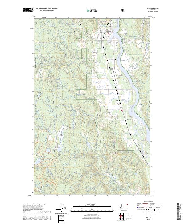
Ione, WA — USGS 7.5-minute topo (2023)
USGS Topo Maps (public domain) · Washington
Public domain
See all 107 maps of Colville National Forest
USGS quads are listed when part of the sheet falls inside the boundary. Boundary: USDA Forest Service, simplified.
More places nearby
- Lake Roosevelt National Recreation Area
- Lake Chelan National Recreation Area
- Okanogan-Wenatchee National Forest
- Idaho Panhandle National Forests
- North Cascades National Park
- Ross Lake National Recreation Area
- Mt. Baker-Snoqualmie National Forest
- Mount Rainier National Park
- Ebey's Landing National Historical Reserve
- Umatilla National Forest
- Gifford Pinchot National Forest
- Olympic National Forest
- Columbia River Gorge National Scenic Area
- Olympic National Park