Lake Roosevelt National Recreation Area maps
National recreation area in Washington, managed by the National Park Service.
Cartahaven has 19 maps covering Lake Roosevelt National Recreation Area: 3 Forest Service maps and 16 USGS 7.5-minute topo quads. All of them are free. Download one to your phone and the map app shows your GPS position on it with no cell signal, along with your tracks, placemarks and, in the US, who manages the land around you.
Check current conditions, closures and regulations with the National Park Service before you go. Maps are aids, not guarantees.
Where each map covers
Maps
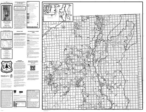
Motor Vehicle Use Map (MVUM) - Northeast of the Forest — Colville National Forest (2025)
Forest Service Maps (public domain) · Colville National Forest
Public domain
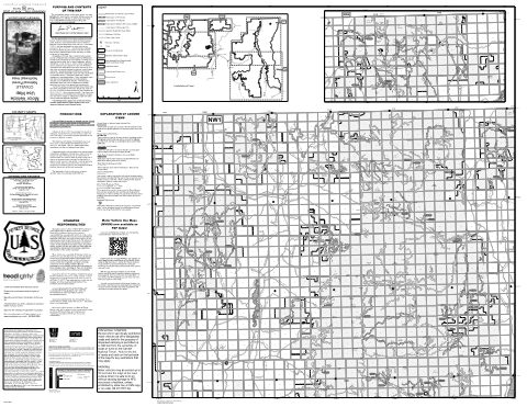
Motor Vehicle Use Map (MVUM) - Northwest of the Forest — Colville National Forest (2025)
Forest Service Maps (public domain) · Colville National Forest
Public domain
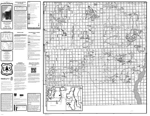
Motor Vehicle Use Map (MVUM) - Southwest of the Forest — Colville National Forest (2025)
Forest Service Maps (public domain) · Colville National Forest
Public domain
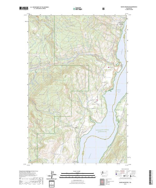
Bangs Mountain, WA — USGS 7.5-minute topo (2023)
USGS Topo Maps (public domain) · Washington
Public domain
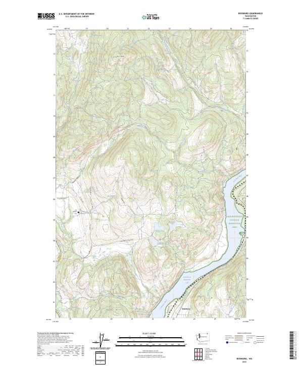
Bossburg, WA — USGS 7.5-minute topo (2023)
USGS Topo Maps (public domain) · Washington
Public domain
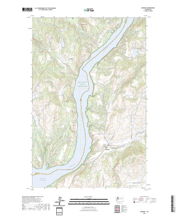
Cedonia, WA — USGS 7.5-minute topo (2023)
USGS Topo Maps (public domain) · Washington
Public domain
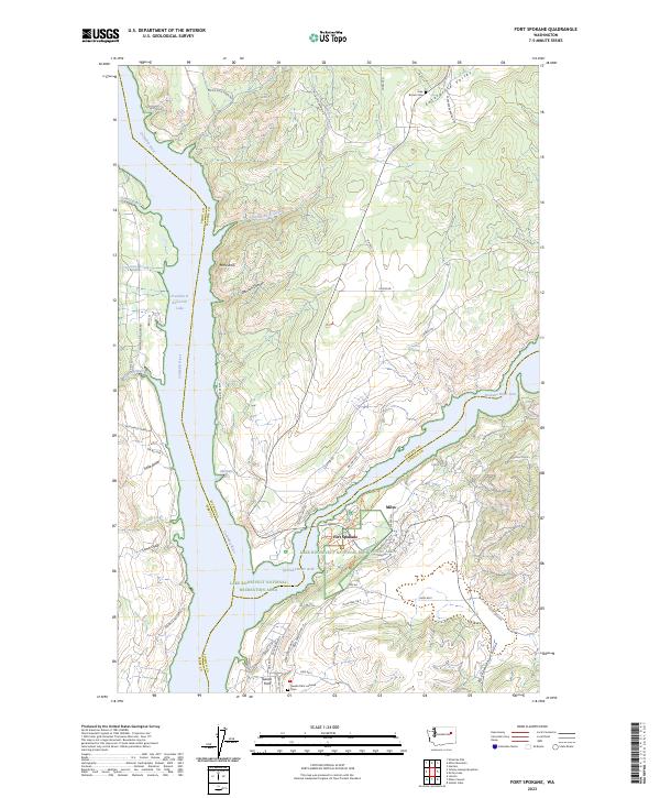
Fort Spokane, WA — USGS 7.5-minute topo (2023)
USGS Topo Maps (public domain) · Washington
Public domain
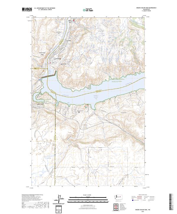
Grand Coulee Dam, WA — USGS 7.5-minute topo (2023)
USGS Topo Maps (public domain) · Washington
Public domain
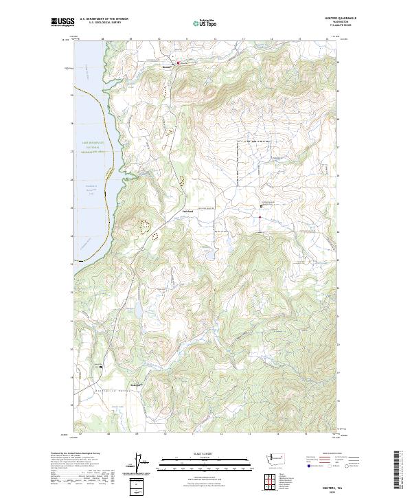
Hunters, WA — USGS 7.5-minute topo (2023)
USGS Topo Maps (public domain) · Washington
Public domain
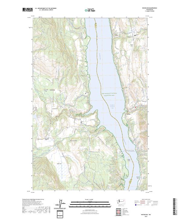
Inchelium, WA — USGS 7.5-minute topo (2023)
USGS Topo Maps (public domain) · Washington
Public domain
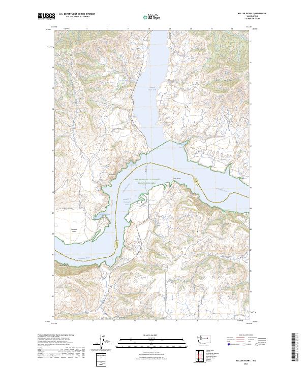
Keller Ferry, WA — USGS 7.5-minute topo (2023)
USGS Topo Maps (public domain) · Washington
Public domain
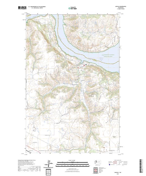
Lincoln, WA — USGS 7.5-minute topo (2023)
USGS Topo Maps (public domain) · Washington
Public domain
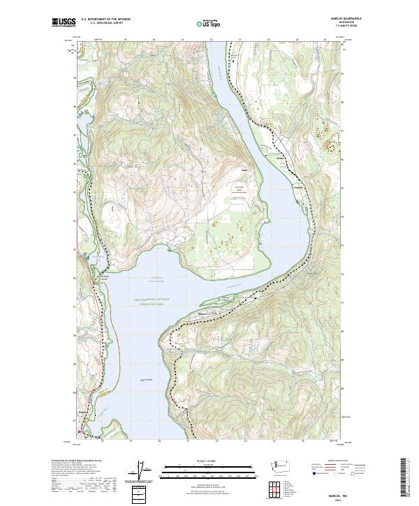
Marcus, WA — USGS 7.5-minute topo (2023)
USGS Topo Maps (public domain) · Washington
Public domain
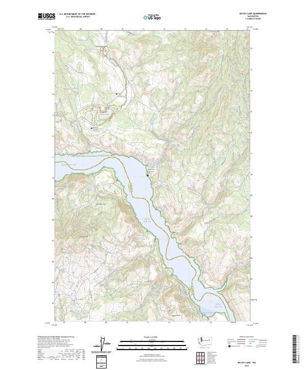
McCoy Lake, WA — USGS 7.5-minute topo (2023)
USGS Topo Maps (public domain) · Washington
Public domain
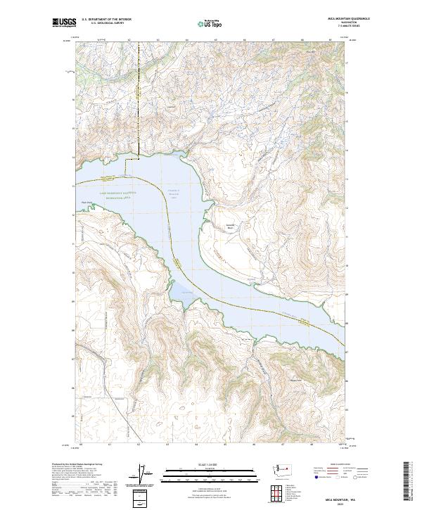
Mica Mountain, WA — USGS 7.5-minute topo (2023)
USGS Topo Maps (public domain) · Washington
Public domain
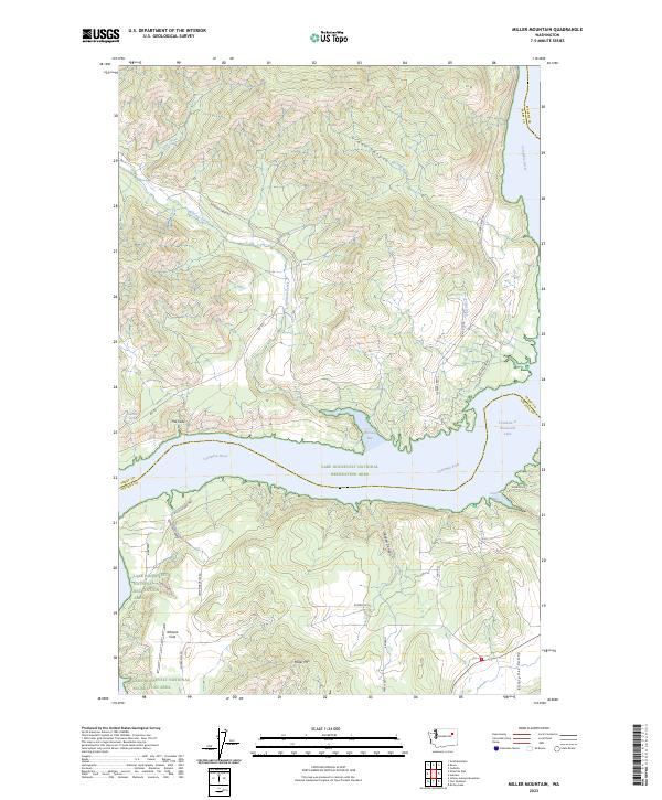
Miller Mountain, WA — USGS 7.5-minute topo (2023)
USGS Topo Maps (public domain) · Washington
Public domain
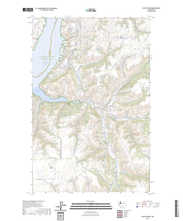
Olsen Canyon, WA — USGS 7.5-minute topo (2023)
USGS Topo Maps (public domain) · Washington
Public domain
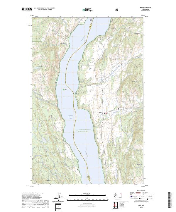
Rice, WA — USGS 7.5-minute topo (2023)
USGS Topo Maps (public domain) · Washington
Public domain
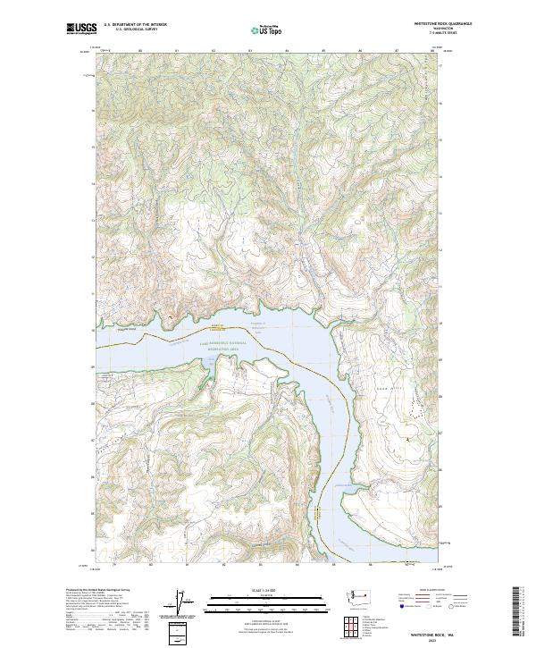
Whitestone Rock, WA — USGS 7.5-minute topo (2023)
USGS Topo Maps (public domain) · Washington
Public domain
USGS quads are listed when part of the sheet falls inside the boundary. Boundary: National Park Service, simplified.
More places nearby
- Colville National Forest
- Idaho Panhandle National Forests
- Lake Chelan National Recreation Area
- Okanogan-Wenatchee National Forest
- North Cascades National Park
- Ross Lake National Recreation Area
- Mt. Baker-Snoqualmie National Forest
- Mount Rainier National Park
- Umatilla National Forest
- Ebey's Landing National Historical Reserve
- Gifford Pinchot National Forest
- Columbia River Gorge National Scenic Area
- Olympic National Forest
- Olympic National Park