Monongahela National Forest maps
National forest in Virginia and West Virginia, managed by the USDA Forest Service.
Cartahaven has 77 maps covering Monongahela National Forest: 11 Forest Service maps and 66 USGS 7.5-minute topo quads. All of them are free. Download one to your phone and the map app shows your GPS position on it with no cell signal, along with your tracks, placemarks and, in the US, who manages the land around you.
Check current conditions, closures and regulations with the USDA Forest Service before you go. Maps are aids, not guarantees.
Where each map covers
First 60 of 77 maps
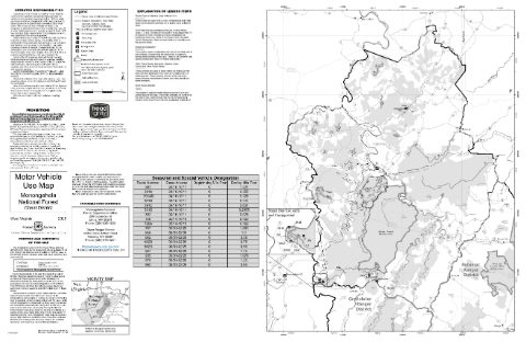
Cheat Ranger District Motor Vehicle Use Map (MVUM) — Monongahela National Forest (2025)
Forest Service Maps (public domain) · Monongahela National Forest
Public domain

Eastern Divide Motor Vehicle Use Map (MVUM) — George Washington and Jefferson National Forests
Forest Service Maps (public domain) · George Washington and Jefferson National Forests
Public domain
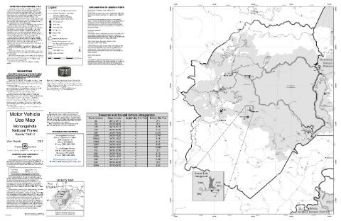
Gauley Ranger District Motor Vehicle Use Map (MVUM) — Monongahela National Forest (2025)
Forest Service Maps (public domain) · Monongahela National Forest
Public domain

Glenwood Pedlar Motor Vehicle Use Map (MVUM) — George Washington and Jefferson National Forests
Forest Service Maps (public domain) · George Washington and Jefferson National Forests
Public domain
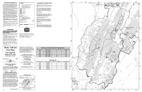
Greenbrier Ranger District Motor Vehicle Use Map (MVUM) — Monongahela National Forest (2025)
Forest Service Maps (public domain) · Monongahela National Forest
Public domain

James River Warm Springs Motor Vehicle Use Map (MVUM) — George Washington and Jefferson National Forests
Forest Service Maps (public domain) · George Washington and Jefferson National Forests
Public domain

Lee Motor Vehicle Use Map (MVUM) — George Washington and Jefferson National Forests
Forest Service Maps (public domain) · George Washington and Jefferson National Forests
Public domain
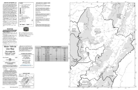
Marlinton Ranger District Motor Vehicle Use Map (MVUM) — Monongahela National Forest (2025)
Forest Service Maps (public domain) · Monongahela National Forest
Public domain

North River Motor Vehicle Use Map (MVUM) — George Washington and Jefferson National Forests
Forest Service Maps (public domain) · George Washington and Jefferson National Forests
Public domain
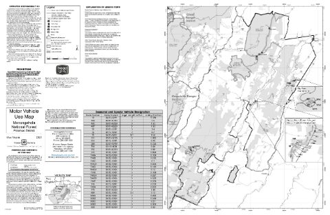
Potomac Ranger District Motor Vehicle Use Map (MVUM) — Monongahela National Forest (2025)
Forest Service Maps (public domain) · Monongahela National Forest
Public domain
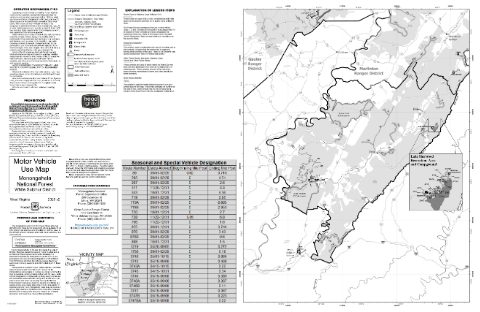
White Sulphur Ranger District Motor Vehicle Use Map (MVUM) — Monongahela National Forest (2025)
Forest Service Maps (public domain) · Monongahela National Forest
Public domain
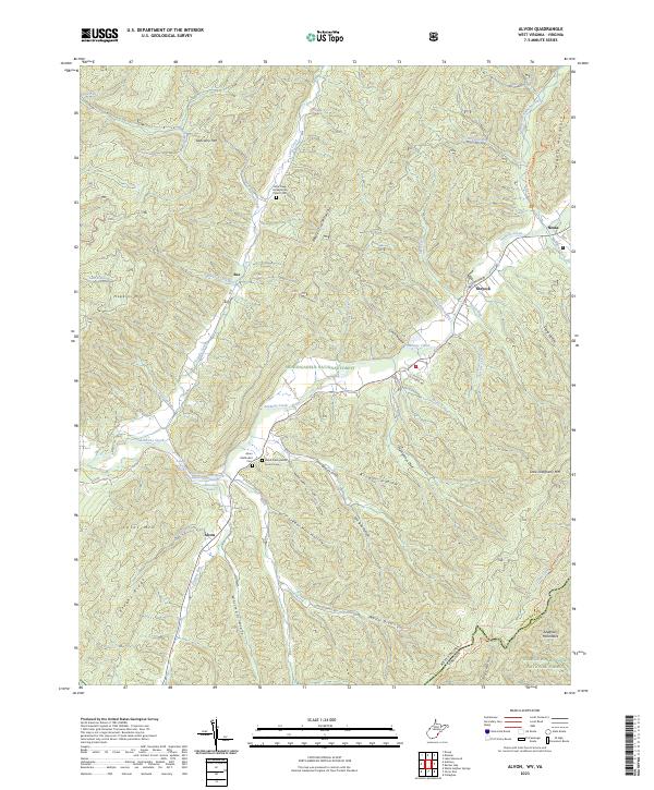
Alvon, WV-VA — USGS 7.5-minute topo (2023)
USGS Topo Maps (public domain) · West Virginia, Virginia
Public domain
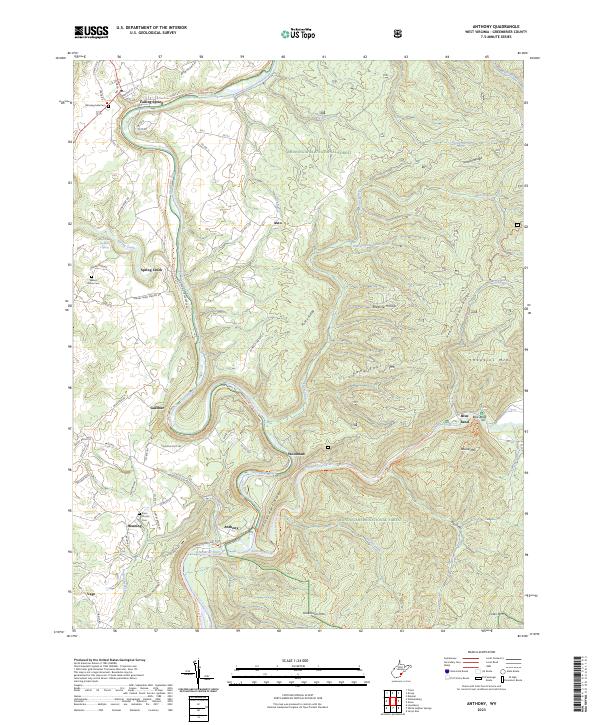
Anthony, WV — USGS 7.5-minute topo (2023)
USGS Topo Maps (public domain) · West Virginia
Public domain
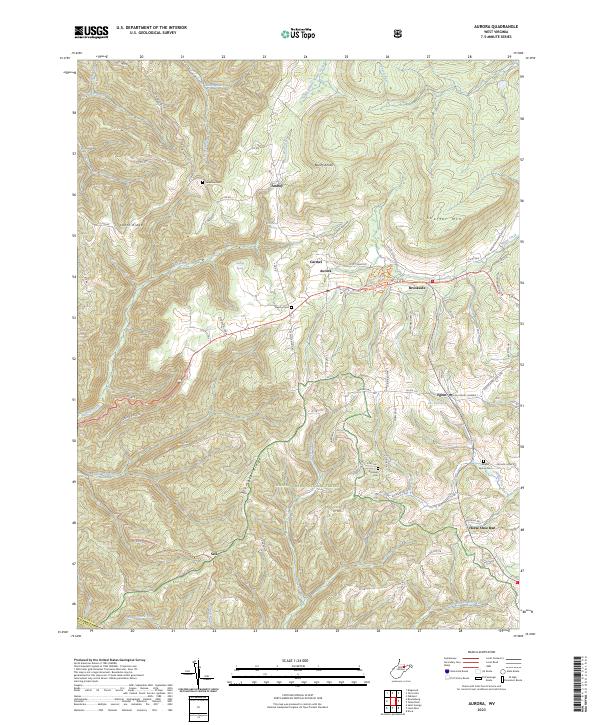
Aurora, WV — USGS 7.5-minute topo (2023)
USGS Topo Maps (public domain) · West Virginia
Public domain

Bergoo, WV — USGS 7.5-minute topo (2023)
USGS Topo Maps (public domain) · West Virginia
Public domain

Beverly East, WV — USGS 7.5-minute topo (2023)
USGS Topo Maps (public domain) · West Virginia
Public domain
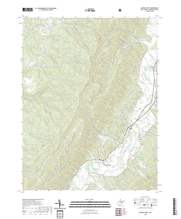
Beverly West, WV — USGS 7.5-minute topo (2023)
USGS Topo Maps (public domain) · West Virginia
Public domain
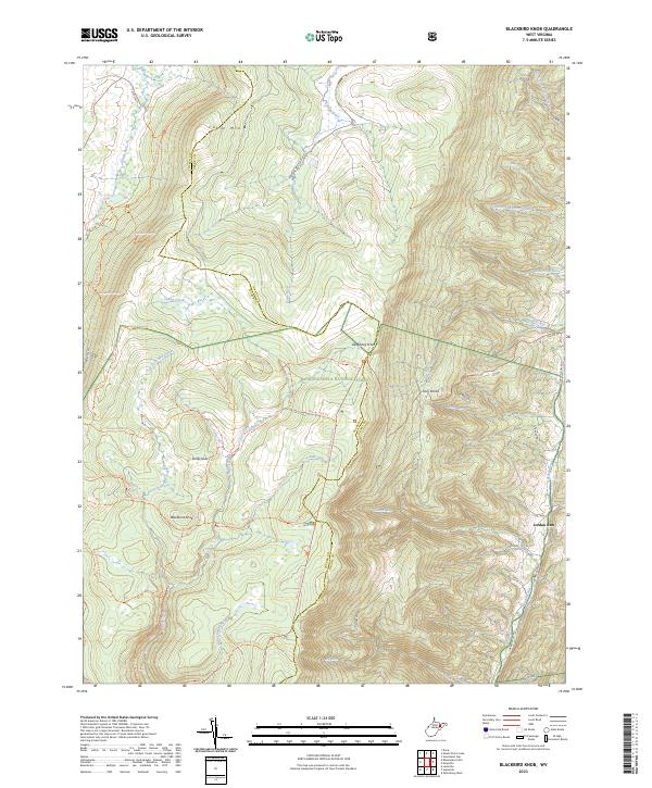
Blackbird Knob, WV — USGS 7.5-minute topo (2023)
USGS Topo Maps (public domain) · West Virginia
Public domain
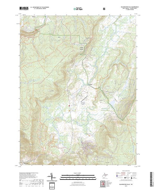
Blackwater Falls, WV — USGS 7.5-minute topo (2023)
USGS Topo Maps (public domain) · West Virginia
Public domain
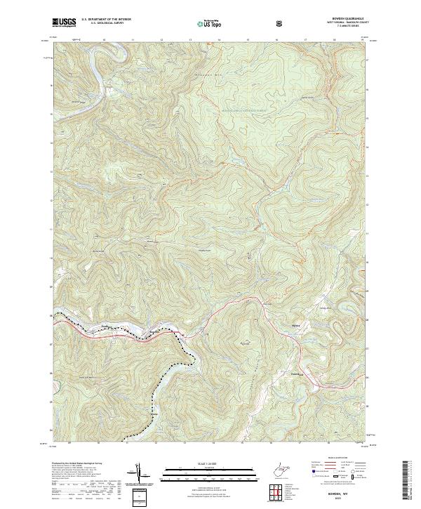
Bowden, WV — USGS 7.5-minute topo (2023)
USGS Topo Maps (public domain) · West Virginia
Public domain
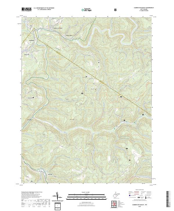
Camden On Gauley, WV — USGS 7.5-minute topo (2023)
USGS Topo Maps (public domain) · West Virginia
Public domain
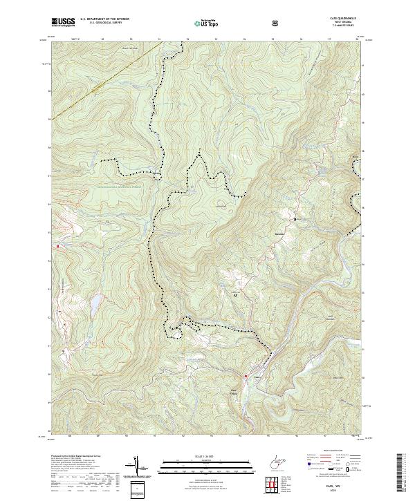
Cass, WV — USGS 7.5-minute topo (2023)
USGS Topo Maps (public domain) · West Virginia
Public domain
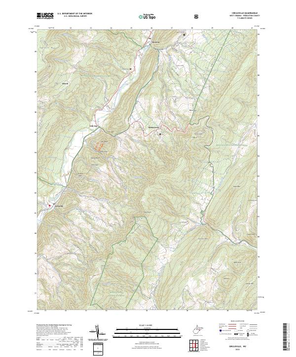
Circleville, WV — USGS 7.5-minute topo (2023)
USGS Topo Maps (public domain) · West Virginia
Public domain
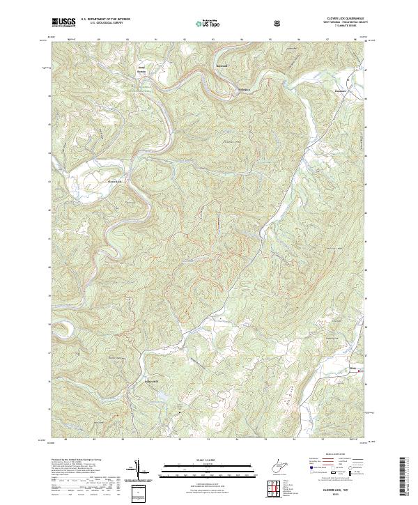
Clover Lick, WV — USGS 7.5-minute topo (2023)
USGS Topo Maps (public domain) · West Virginia
Public domain
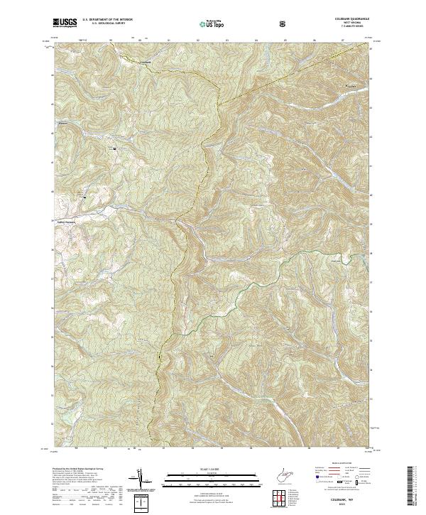
Colebank, WV — USGS 7.5-minute topo (2023)
USGS Topo Maps (public domain) · West Virginia
Public domain
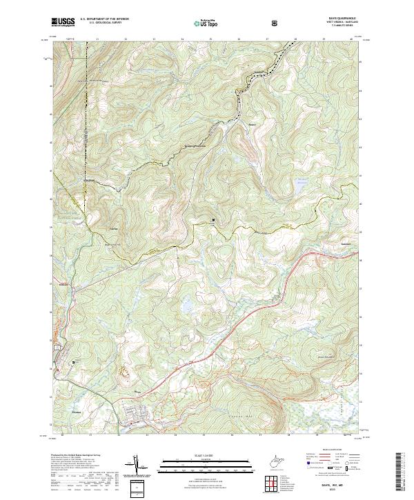
Davis, WV-MD — USGS 7.5-minute topo (2023)
USGS Topo Maps (public domain) · West Virginia, Maryland
Public domain
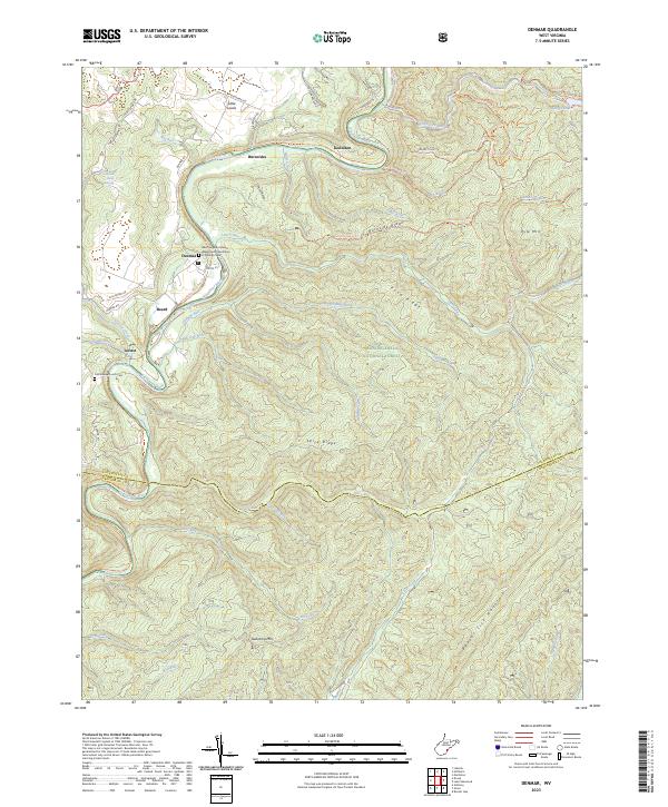
Denmar, WV — USGS 7.5-minute topo (2023)
USGS Topo Maps (public domain) · West Virginia
Public domain
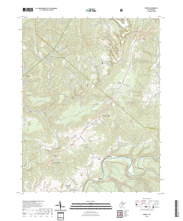
Droop, WV — USGS 7.5-minute topo (2023)
USGS Topo Maps (public domain) · West Virginia
Public domain
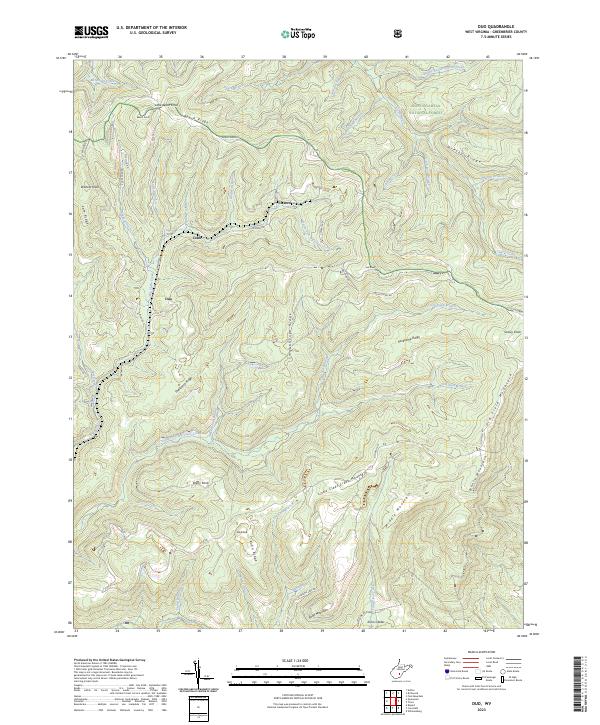
Duo, WV — USGS 7.5-minute topo (2023)
USGS Topo Maps (public domain) · West Virginia
Public domain
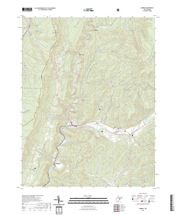
Durbin, WV — USGS 7.5-minute topo (2023)
USGS Topo Maps (public domain) · West Virginia
Public domain
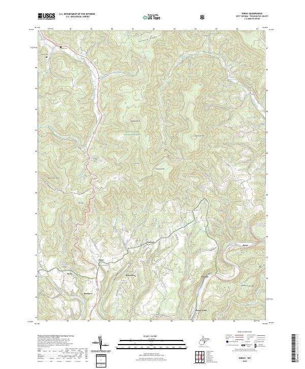
Edray, WV — USGS 7.5-minute topo (2023)
USGS Topo Maps (public domain) · West Virginia
Public domain
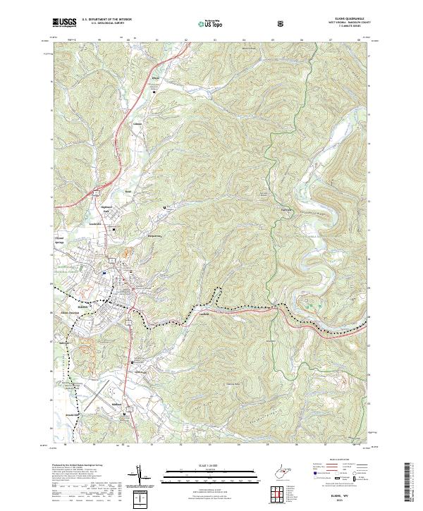
Elkins, WV — USGS 7.5-minute topo (2023)
USGS Topo Maps (public domain) · West Virginia
Public domain
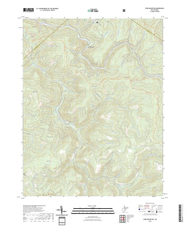
Fork Mountain, WV — USGS 7.5-minute topo (2023)
USGS Topo Maps (public domain) · West Virginia
Public domain
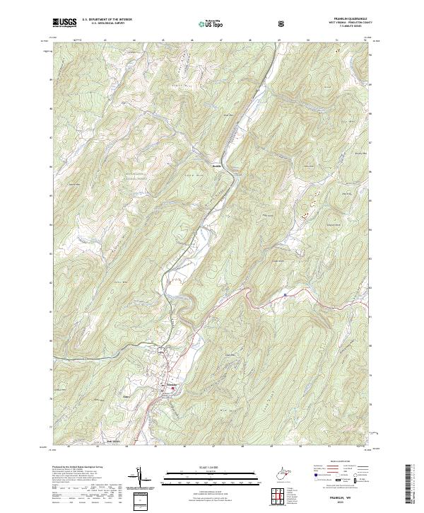
Franklin, WV — USGS 7.5-minute topo (2023)
USGS Topo Maps (public domain) · West Virginia
Public domain
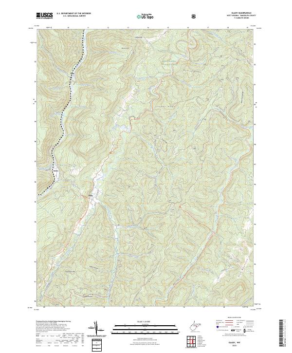
Glady, WV — USGS 7.5-minute topo (2023)
USGS Topo Maps (public domain) · West Virginia
Public domain
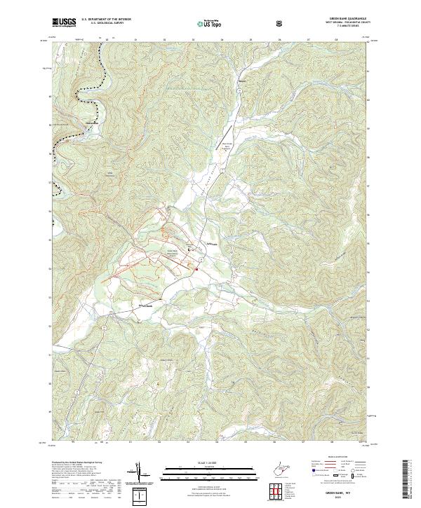
Green Bank, WV — USGS 7.5-minute topo (2023)
USGS Topo Maps (public domain) · West Virginia
Public domain
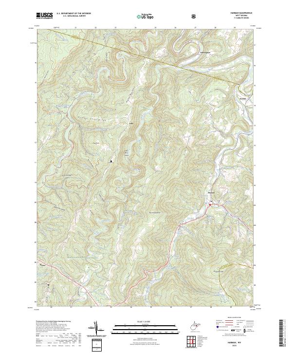
Harman, WV — USGS 7.5-minute topo (2023)
USGS Topo Maps (public domain) · West Virginia
Public domain
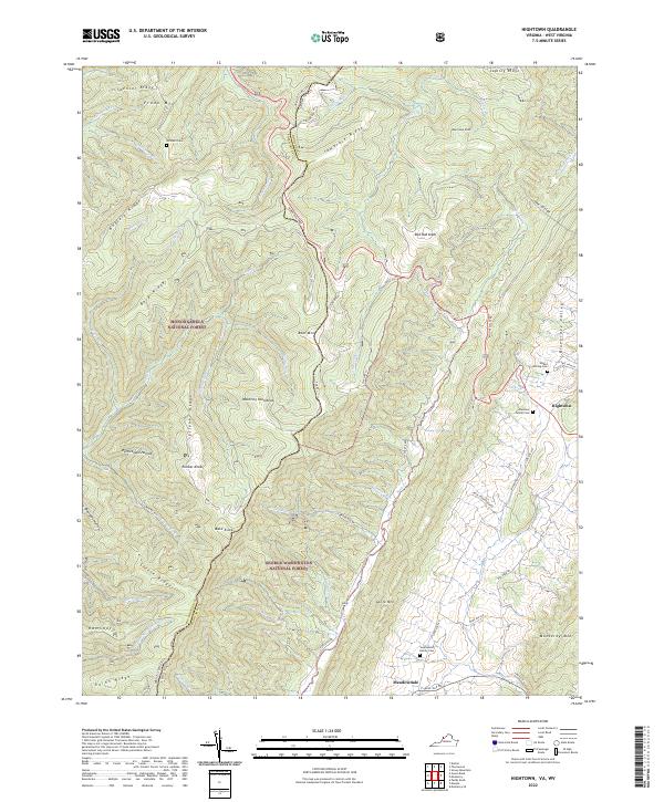
Hightown, VA-WV — USGS 7.5-minute topo (2022)
USGS Topo Maps (public domain) · Virginia, West Virginia
Public domain
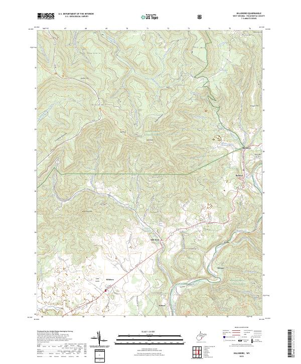
Hillsboro, WV — USGS 7.5-minute topo (2023)
USGS Topo Maps (public domain) · West Virginia
Public domain
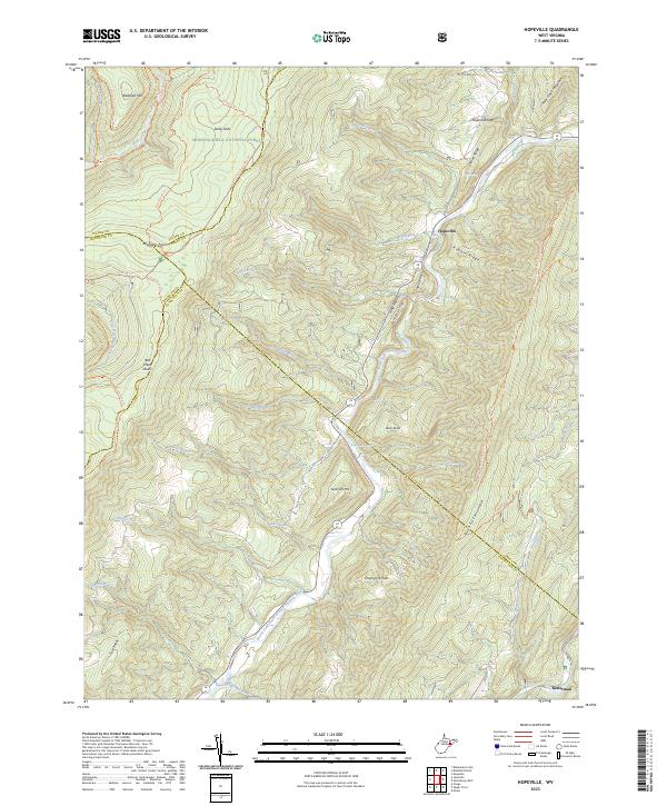
Hopeville, WV — USGS 7.5-minute topo (2023)
USGS Topo Maps (public domain) · West Virginia
Public domain
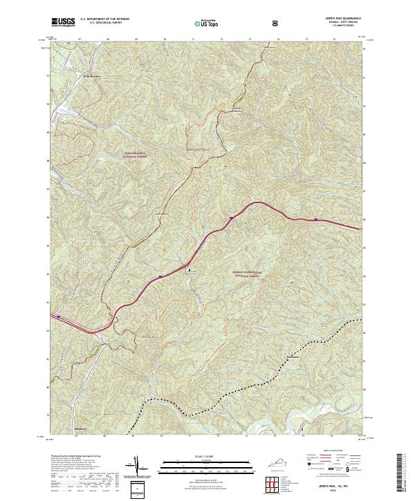
Jerrys Run, VA-WV — USGS 7.5-minute topo (2022)
USGS Topo Maps (public domain) · Virginia, West Virginia
Public domain
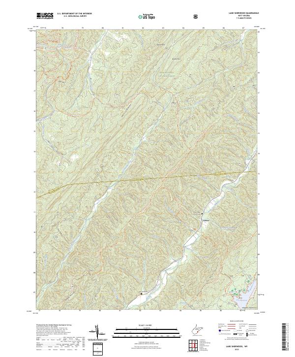
Lake Sherwood, WV — USGS 7.5-minute topo (2023)
USGS Topo Maps (public domain) · West Virginia
Public domain
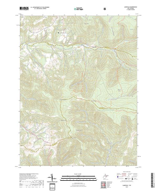
Laneville, WV — USGS 7.5-minute topo (2023)
USGS Topo Maps (public domain) · West Virginia
Public domain
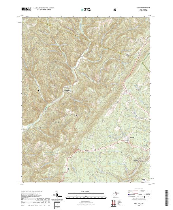
Lead Mine, WV — USGS 7.5-minute topo (2023)
USGS Topo Maps (public domain) · West Virginia
Public domain
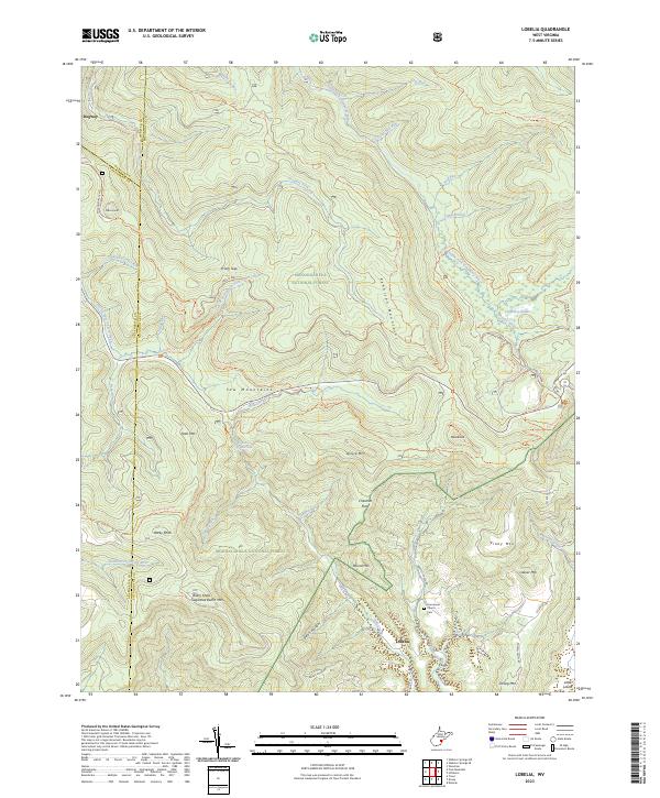
Lobelia, WV — USGS 7.5-minute topo (2023)
USGS Topo Maps (public domain) · West Virginia
Public domain
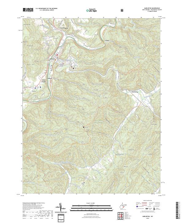
Marlinton, WV — USGS 7.5-minute topo (2023)
USGS Topo Maps (public domain) · West Virginia
Public domain
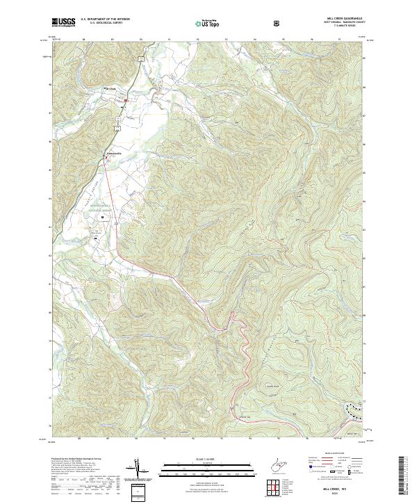
Mill Creek, WV — USGS 7.5-minute topo (2023)
USGS Topo Maps (public domain) · West Virginia
Public domain
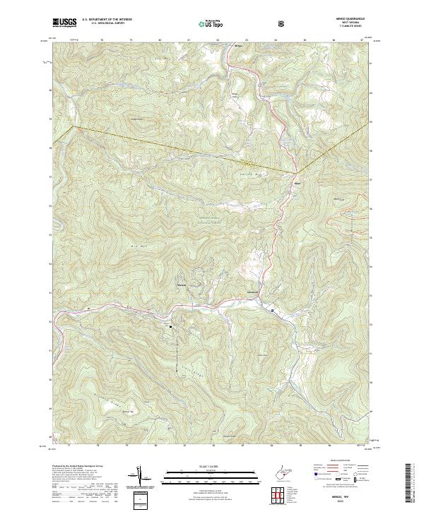
Mingo, WV — USGS 7.5-minute topo (2023)
USGS Topo Maps (public domain) · West Virginia
Public domain
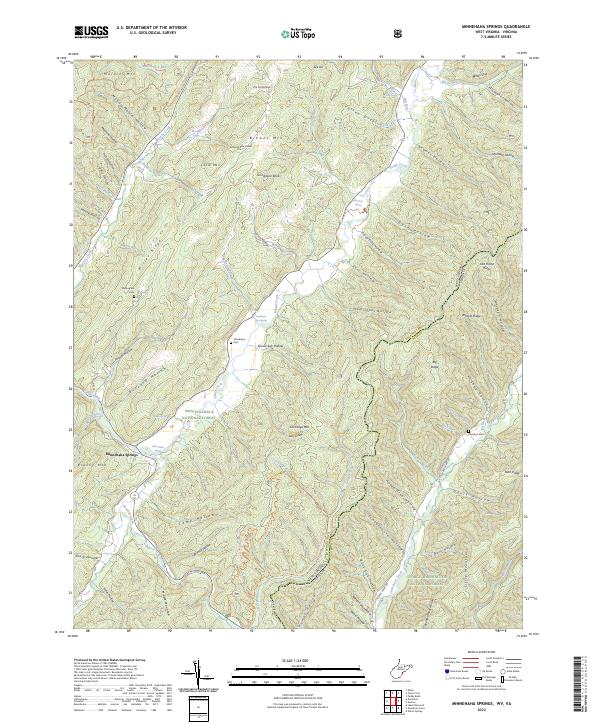
Minnehaha Springs, WV-VA — USGS 7.5-minute topo (2023)
USGS Topo Maps (public domain) · West Virginia, Virginia
Public domain
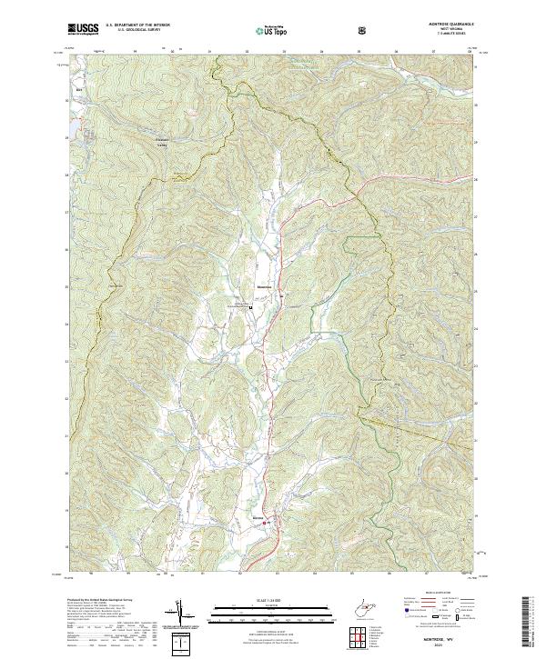
Montrose, WV — USGS 7.5-minute topo (2023)
USGS Topo Maps (public domain) · West Virginia
Public domain
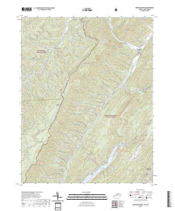
Mountain Grove, VA-WV — USGS 7.5-minute topo (2022)
USGS Topo Maps (public domain) · Virginia, West Virginia
Public domain
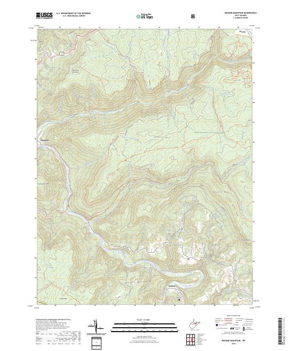
Mozark Mountain, WV — USGS 7.5-minute topo (2023)
USGS Topo Maps (public domain) · West Virginia
Public domain
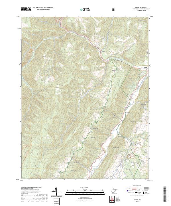
Onego, WV — USGS 7.5-minute topo (2023)
USGS Topo Maps (public domain) · West Virginia
Public domain
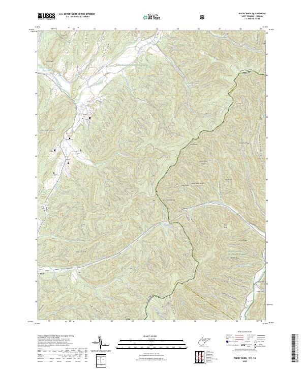
Paddy Knob, WV-VA — USGS 7.5-minute topo (2023)
USGS Topo Maps (public domain) · West Virginia, Virginia
Public domain
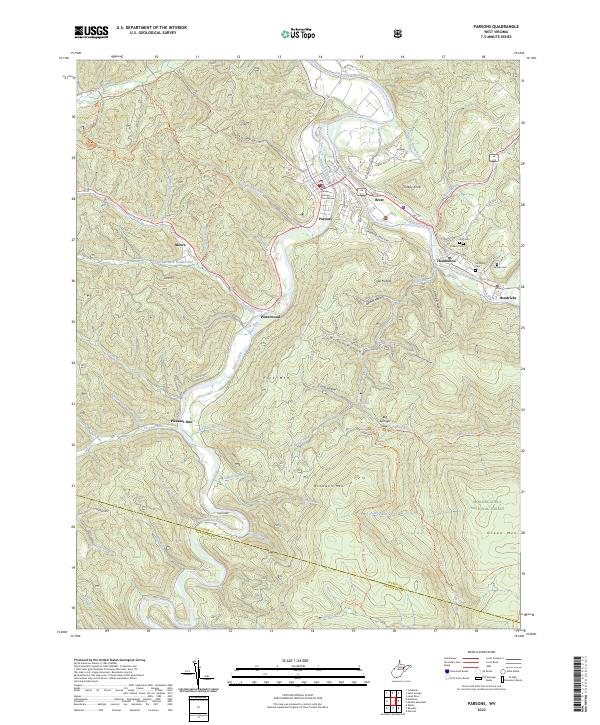
Parsons, WV — USGS 7.5-minute topo (2023)
USGS Topo Maps (public domain) · West Virginia
Public domain
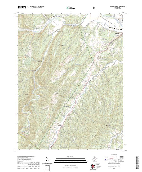
Petersburg West, WV — USGS 7.5-minute topo (2023)
USGS Topo Maps (public domain) · West Virginia
Public domain
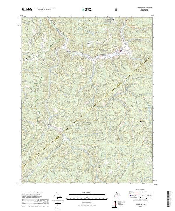
Richwood, WV — USGS 7.5-minute topo (2023)
USGS Topo Maps (public domain) · West Virginia
Public domain
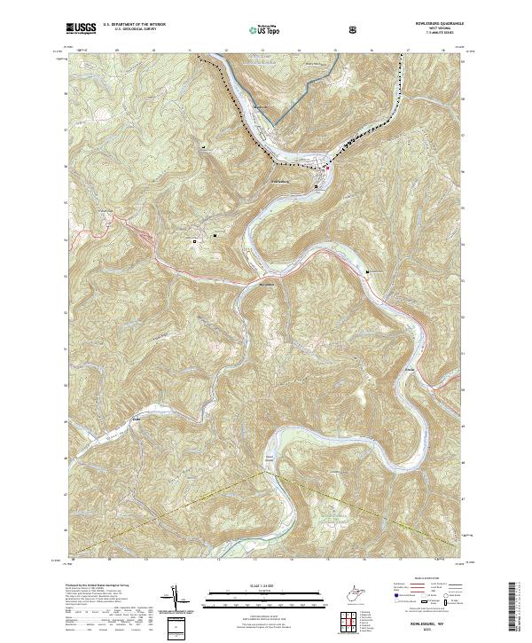
Rowlesburg, WV — USGS 7.5-minute topo (2023)
USGS Topo Maps (public domain) · West Virginia
Public domain
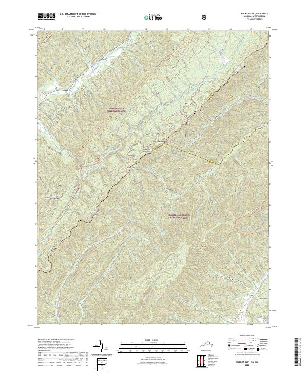
Rucker Gap, VA-WV — USGS 7.5-minute topo (2022)
USGS Topo Maps (public domain) · Virginia, West Virginia
Public domain

Saint George, WV — USGS 7.5-minute topo (2023)
USGS Topo Maps (public domain) · West Virginia
Public domain
See all 77 maps of Monongahela National Forest
USGS quads are listed when part of the sheet falls inside the boundary. Boundary: USDA Forest Service, simplified.
More places nearby
- George Washington and Jefferson National Forest
- Gauley River National Recreation Area
- Shenandoah National Park
- New River Gorge National Park and Preserve
- Bluestone National Scenic River
- Booker T. Washington National Monument
- Wayne National Forest
- George Washington Birthplace National Monument
- Blue Ridge Parkway
- George Washington Memorial Parkway
- Fort Monroe National Monument
- Assateague Island National Seashore
- Cherokee National Forest