Blue Ridge Parkway maps
Parkway in North Carolina and Virginia, managed by the National Park Service.
Cartahaven has 15 maps covering Blue Ridge Parkway: 5 Forest Service maps and 10 USGS 7.5-minute topo quads. All of them are free. Download one to your phone and the map app shows your GPS position on it with no cell signal, along with your tracks, placemarks and, in the US, who manages the land around you.
Check current conditions, closures and regulations with the National Park Service before you go. Maps are aids, not guarantees.
Where each map covers
Maps

Eastern Divide Motor Vehicle Use Map (MVUM) — George Washington and Jefferson National Forests
Forest Service Maps (public domain) · George Washington and Jefferson National Forests
Public domain

Glenwood Pedlar Motor Vehicle Use Map (MVUM) — George Washington and Jefferson National Forests
Forest Service Maps (public domain) · George Washington and Jefferson National Forests
Public domain

James River Warm Springs Motor Vehicle Use Map (MVUM) — George Washington and Jefferson National Forests
Forest Service Maps (public domain) · George Washington and Jefferson National Forests
Public domain

Mount Rogers National Recreation Area Motor Vehicle Use Map (MVUM) — George Washington and Jefferson National Forests
Forest Service Maps (public domain) · George Washington and Jefferson National Forests
Public domain

North River Motor Vehicle Use Map (MVUM) — George Washington and Jefferson National Forests
Forest Service Maps (public domain) · George Washington and Jefferson National Forests
Public domain
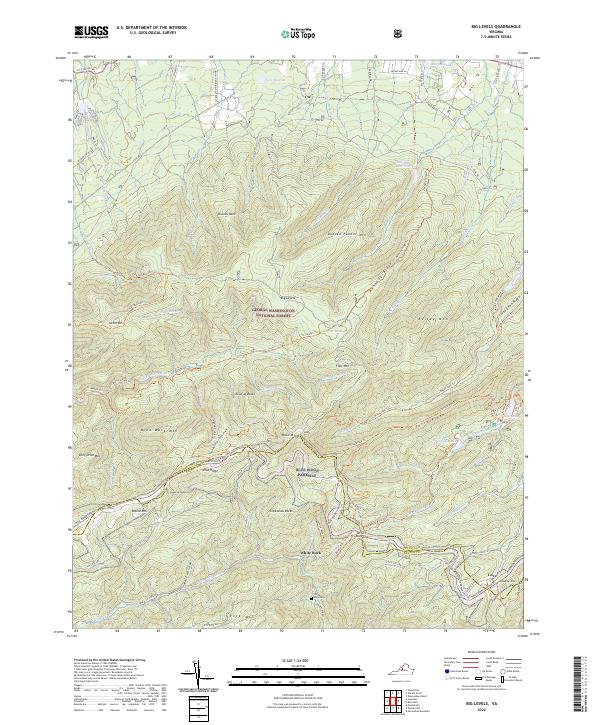
Big Levels, VA — USGS 7.5-minute topo (2022)
USGS Topo Maps (public domain) · Virginia
Public domain
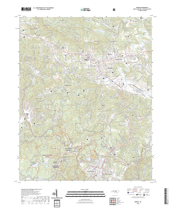
Boone, NC — USGS 7.5-minute topo (2022)
USGS Topo Maps (public domain) · North Carolina
Public domain
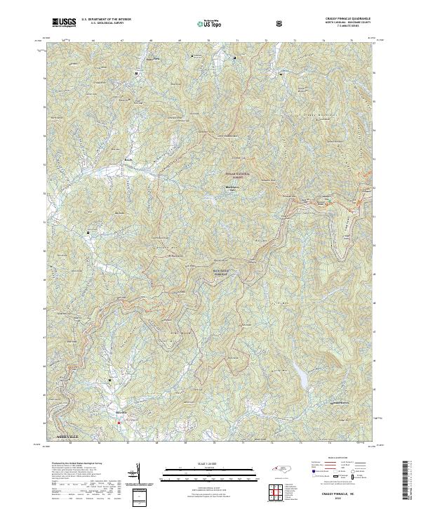
Craggy Pinnacle, NC — USGS 7.5-minute topo (2022)
USGS Topo Maps (public domain) · North Carolina
Public domain
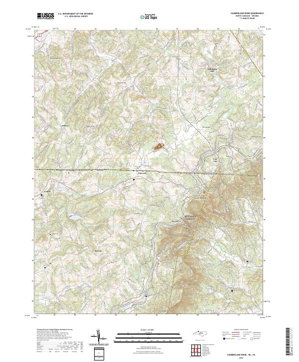
Cumberland Knob, NC-VA — USGS 7.5-minute topo (2022)
USGS Topo Maps (public domain) · North Carolina, Virginia
Public domain
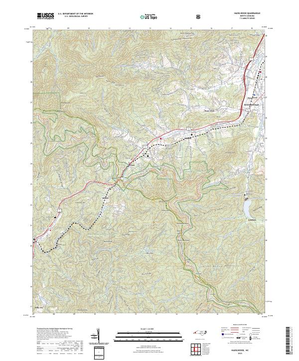
Hazelwood, NC — USGS 7.5-minute topo (2023)
USGS Topo Maps (public domain) · North Carolina
Public domain
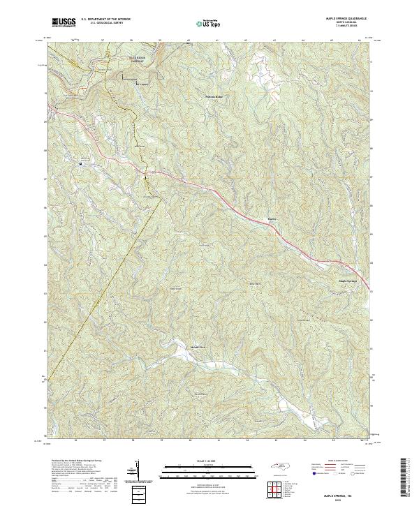
Maple Springs, NC — USGS 7.5-minute topo (2022)
USGS Topo Maps (public domain) · North Carolina
Public domain
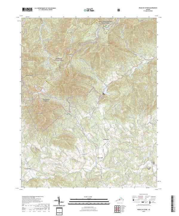
Peaks of Otter, VA — USGS 7.5-minute topo (2022)
USGS Topo Maps (public domain) · Virginia
Public domain
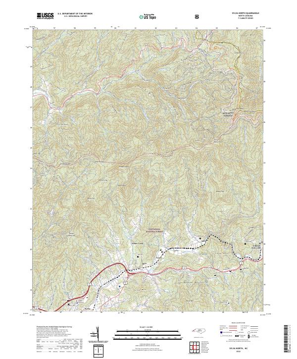
Sylva North, NC — USGS 7.5-minute topo (2022)
USGS Topo Maps (public domain) · North Carolina
Public domain
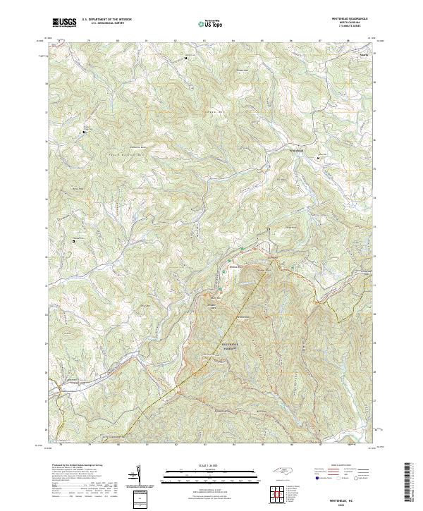
Whitehead, NC — USGS 7.5-minute topo (2022)
USGS Topo Maps (public domain) · North Carolina
Public domain
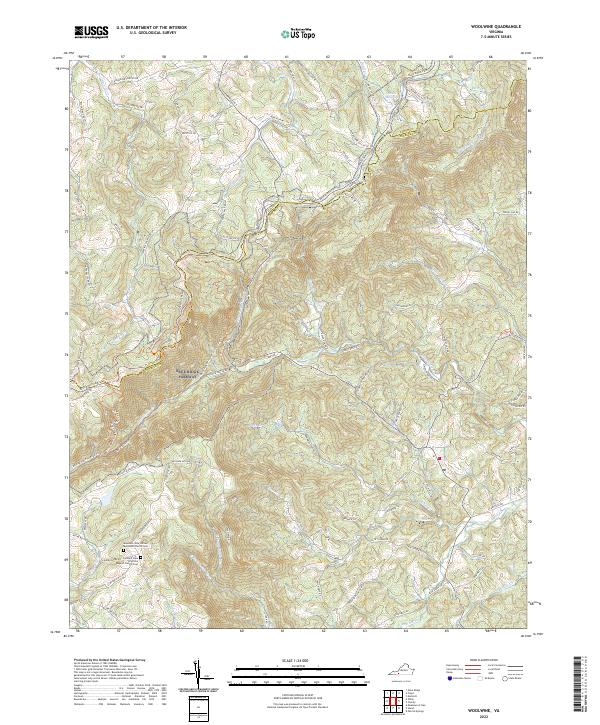
Woolwine, VA — USGS 7.5-minute topo (2022)
USGS Topo Maps (public domain) · Virginia
Public domain
USGS quads are listed when part of the sheet falls inside the boundary. Boundary: National Park Service, simplified.
More places nearby
- Booker T. Washington National Monument
- National Forests in North Carolina
- George Washington and Jefferson National Forest
- Cherokee National Forest
- Monongahela National Forest
- Great Smoky Mountains National Park
- Shenandoah National Park
- George Washington Birthplace National Monument
- Fort Monroe National Monument
- George Washington Memorial Parkway
- Cape Lookout National Seashore
- Cape Hatteras National Seashore
- Assateague Island National Seashore