Medicine Bow-Routt National Forest maps
National forest in Colorado and Wyoming, managed by the USDA Forest Service.
Cartahaven has 220 maps covering Medicine Bow-Routt National Forest: 13 Forest Service maps and 207 USGS 7.5-minute topo quads. All of them are free. Download one to your phone and the map app shows your GPS position on it with no cell signal, along with your tracks, placemarks and, in the US, who manages the land around you.
Check current conditions, closures and regulations with the USDA Forest Service before you go. Maps are aids, not guarantees.
Where each map covers
First 60 of 220 maps
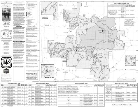
Blanco Ranger District Motor Vehicle Use Map (MVUM) — White River National Forest (2026)
Forest Service Maps (public domain) · White River National Forest
Public domain
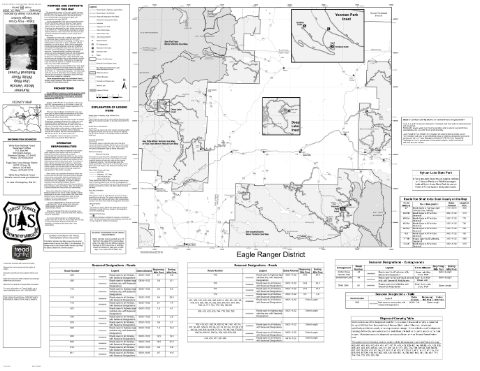
Eagle-Holy Cross Ranger District Motor Vehicle Use Map (MVUM) — White River National Forest (2026)
Forest Service Maps (public domain) · White River National Forest
Public domain
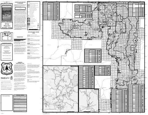
Hahns Peak/Bears Ears Ranger District Motor Vehicle Use Map (MVUM) — Medicine Bow-Routt National Forests & Thunder Basin National Grassland (2021)
Forest Service Maps (public domain) · Medicine Bow-Routt National Forests & Thunder Basin National Grassland
Public domain
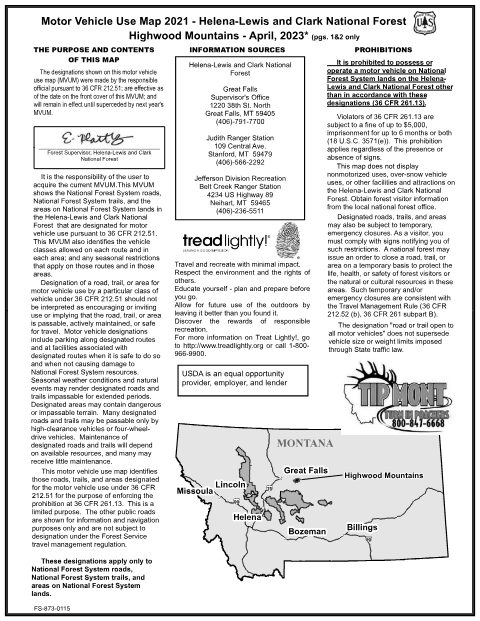
Highwood Mountains Motor Vehicle Use Map (MVUM) — Helena-Lewis and Clark National Forest (2023)
Forest Service Maps (public domain) · Helena-Lewis and Clark National Forest
Public domain
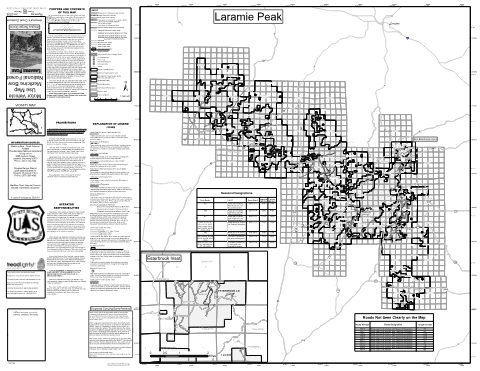
Laramie Peak Motor Vehicle Use Map (MVUM) — Medicine Bow-Routt National Forests & Thunder Basin National Grassland (2022)
Forest Service Maps (public domain) · Medicine Bow-Routt National Forests & Thunder Basin National Grassland
Public domain
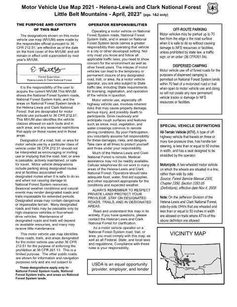
Little Belt Mountains Motor Vehicle Use Map (MVUM) — Helena-Lewis and Clark National Forest (2023)
Forest Service Maps (public domain) · Helena-Lewis and Clark National Forest
Public domain
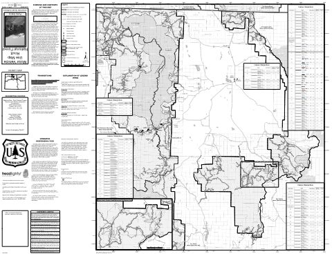
Parks Ranger District Motor Vehicle Use Map (MVUM) — Medicine Bow-Routt National Forests & Thunder Basin National Grassland (2018)
Forest Service Maps (public domain) · Medicine Bow-Routt National Forests & Thunder Basin National Grassland
Public domain
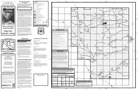
Pole Mountain Motor Vehicle Use Map (MVUM) — Medicine Bow-Routt National Forests & Thunder Basin National Grassland (2022)
Forest Service Maps (public domain) · Medicine Bow-Routt National Forests & Thunder Basin National Grassland
Public domain
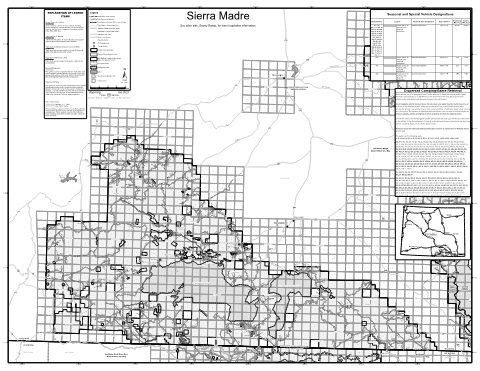
Sierra Madre Motor Vehicle Use Map (MVUM) — Medicine Bow-Routt National Forests & Thunder Basin National Grassland (2021)
Forest Service Maps (public domain) · Medicine Bow-Routt National Forests & Thunder Basin National Grassland
Public domain
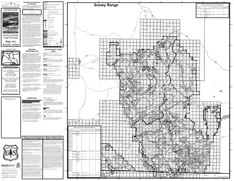
Snowy Range Motor Vehicle Use Map (MVUM) — Medicine Bow-Routt National Forests & Thunder Basin National Grassland (2021)
Forest Service Maps (public domain) · Medicine Bow-Routt National Forests & Thunder Basin National Grassland
Public domain
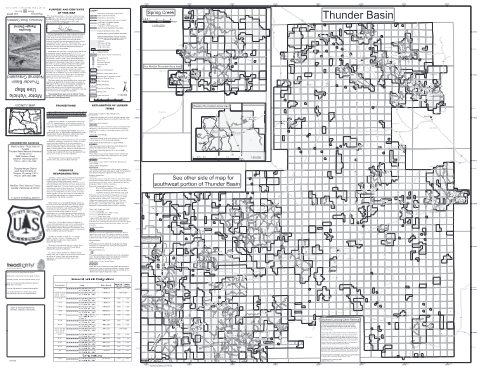
Thunder Basin National Grassland - North Motor Vehicle Use Map (MVUM)
Forest Service Maps (public domain) · Medicine Bow-Routt National Forests & Thunder Basin National Grassland
Public domain
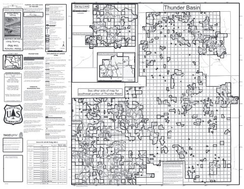
Thunder Basin National Grassland - South Motor Vehicle Use Map (MVUM)
Forest Service Maps (public domain) · Medicine Bow-Routt National Forests & Thunder Basin National Grassland
Public domain
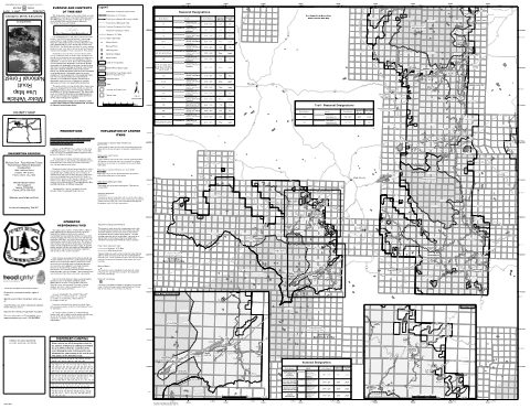
Yampa Ranger District Motor Vehicle Use Map (MVUM) — Medicine Bow-Routt National Forests & Thunder Basin National Grassland (2019)
Forest Service Maps (public domain) · Medicine Bow-Routt National Forests & Thunder Basin National Grassland
Public domain
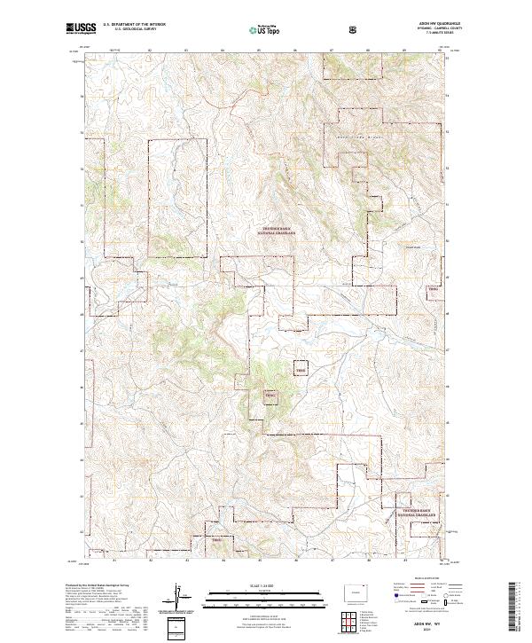
Adon NW, WY — USGS 7.5-minute topo (2021)
USGS Topo Maps (public domain) · Wyoming
Public domain
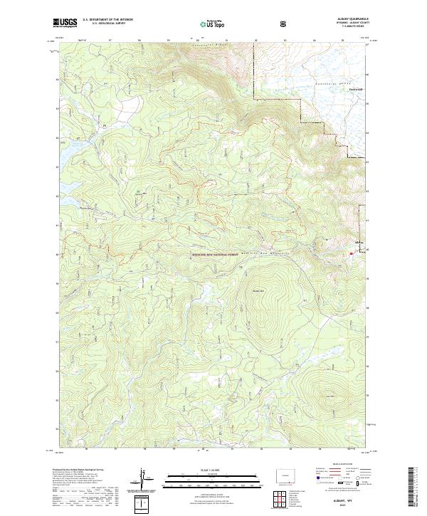
Albany, WY — USGS 7.5-minute topo (2021)
USGS Topo Maps (public domain) · Wyoming
Public domain
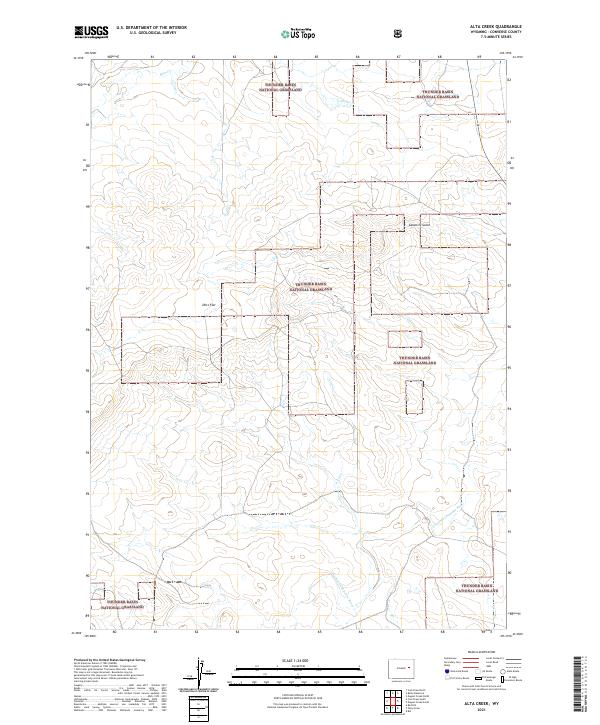
Alta Creek, WY — USGS 7.5-minute topo (2021)
USGS Topo Maps (public domain) · Wyoming
Public domain
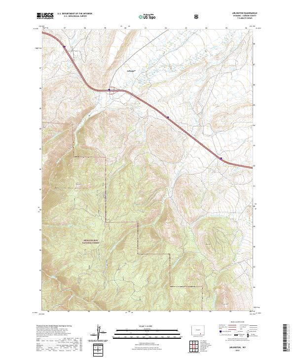
Arlington, WY — USGS 7.5-minute topo (2021)
USGS Topo Maps (public domain) · Wyoming
Public domain
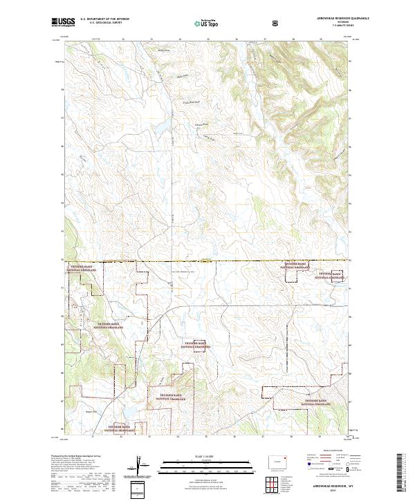
Arrowhead Reservoir, WY — USGS 7.5-minute topo (2021)
USGS Topo Maps (public domain) · Wyoming
Public domain
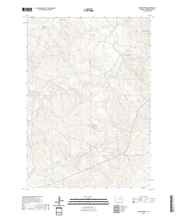
Baker Spring, WY — USGS 7.5-minute topo (2021)
USGS Topo Maps (public domain) · Wyoming
Public domain
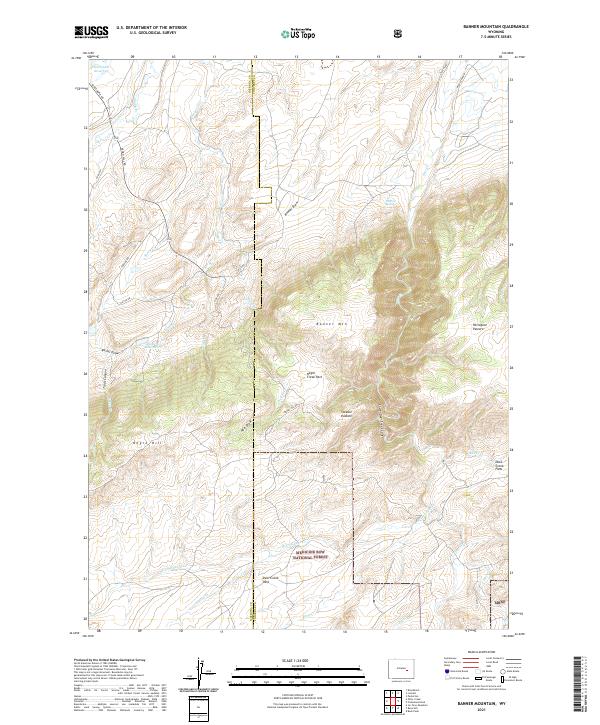
Banner Mountain, WY — USGS 7.5-minute topo (2021)
USGS Topo Maps (public domain) · Wyoming
Public domain
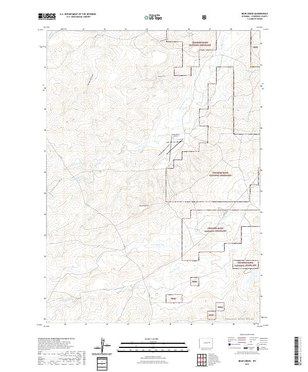
Bear Creek, WY — USGS 7.5-minute topo (2021)
USGS Topo Maps (public domain) · Wyoming
Public domain
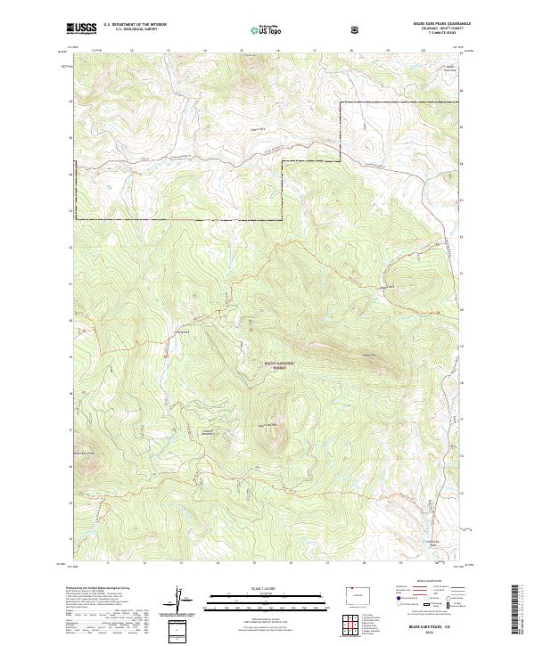
Bears Ears Peaks, CO — USGS 7.5-minute topo (2022)
USGS Topo Maps (public domain) · Colorado
Public domain
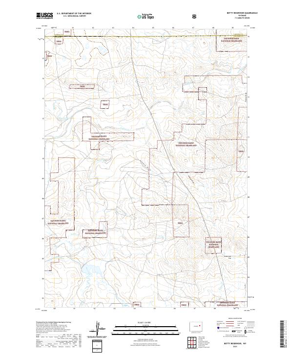
Betty Reservoir, WY — USGS 7.5-minute topo (2021)
USGS Topo Maps (public domain) · Wyoming
Public domain
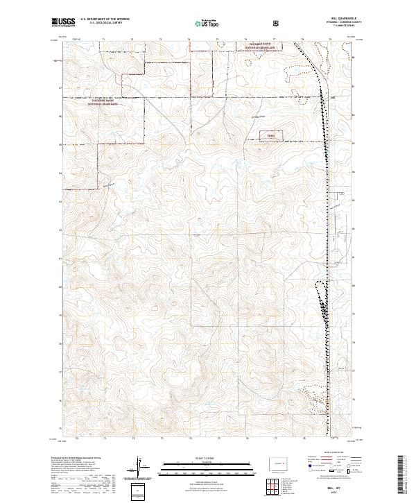
Bill, WY — USGS 7.5-minute topo (2021)
USGS Topo Maps (public domain) · Wyoming
Public domain
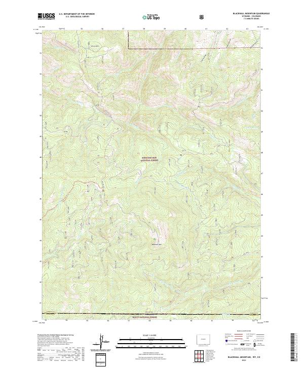
Blackhall Mountain, WY-CO — USGS 7.5-minute topo (2021)
USGS Topo Maps (public domain) · Wyoming, Colorado
Public domain
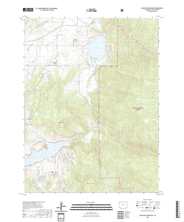
Blacktail Mountain, CO — USGS 7.5-minute topo (2022)
USGS Topo Maps (public domain) · Colorado
Public domain
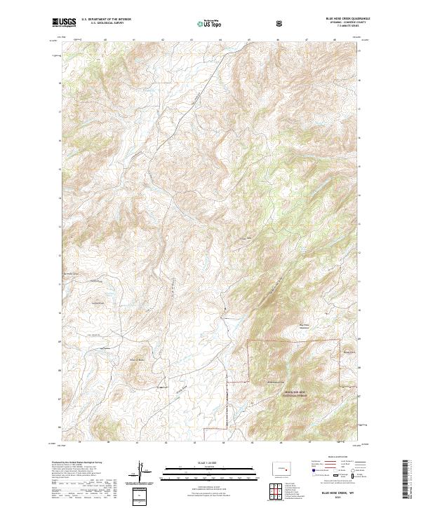
Blue Nose Creek, WY — USGS 7.5-minute topo (2021)
USGS Topo Maps (public domain) · Wyoming
Public domain
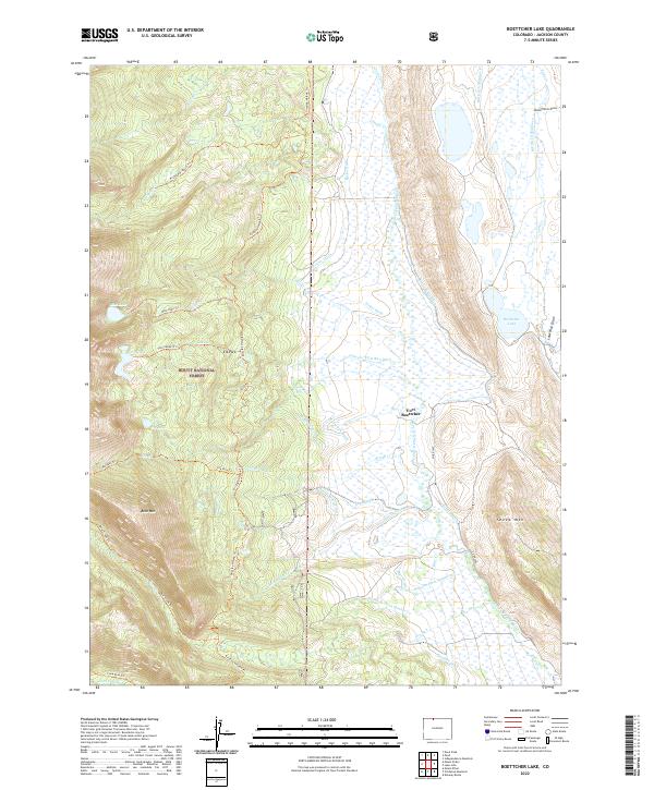
Boettcher Lake, CO — USGS 7.5-minute topo (2022)
USGS Topo Maps (public domain) · Colorado
Public domain
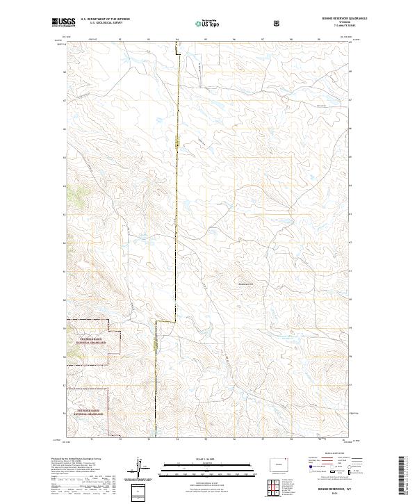
Bonnie Reservoir, WY — USGS 7.5-minute topo (2021)
USGS Topo Maps (public domain) · Wyoming
Public domain
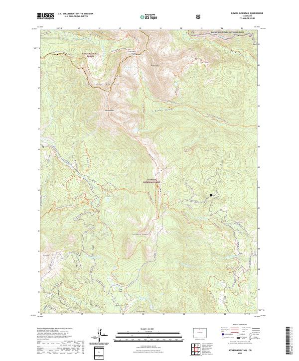
Bowen Mountain, CO — USGS 7.5-minute topo (2022)
USGS Topo Maps (public domain) · Colorado
Public domain
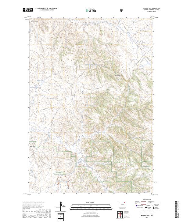
Bowman Hill, WY — USGS 7.5-minute topo (2023)
USGS Topo Maps (public domain) · Wyoming
Public domain
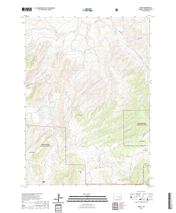
Braae, WY — USGS 7.5-minute topo (2021)
USGS Topo Maps (public domain) · Wyoming
Public domain
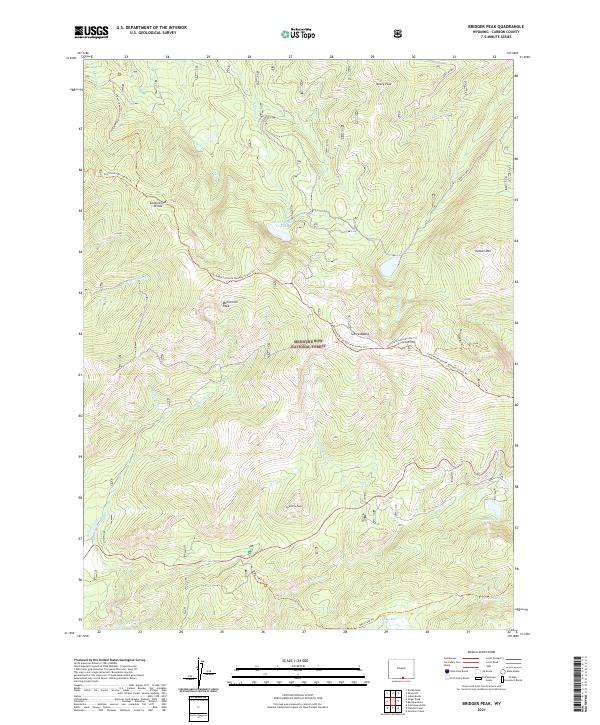
Bridger Peak, WY — USGS 7.5-minute topo (2021)
USGS Topo Maps (public domain) · Wyoming
Public domain
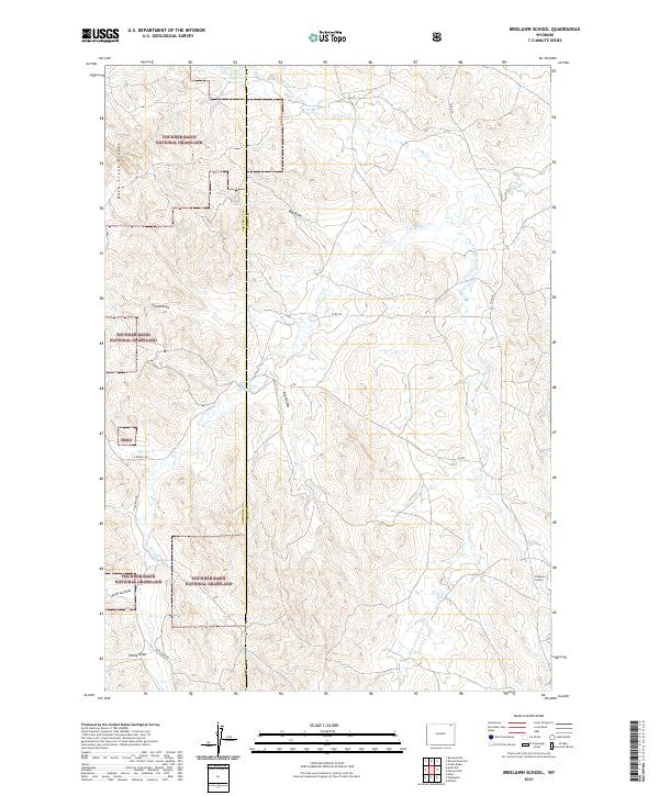
Brislawn School, WY — USGS 7.5-minute topo (2021)
USGS Topo Maps (public domain) · Wyoming
Public domain
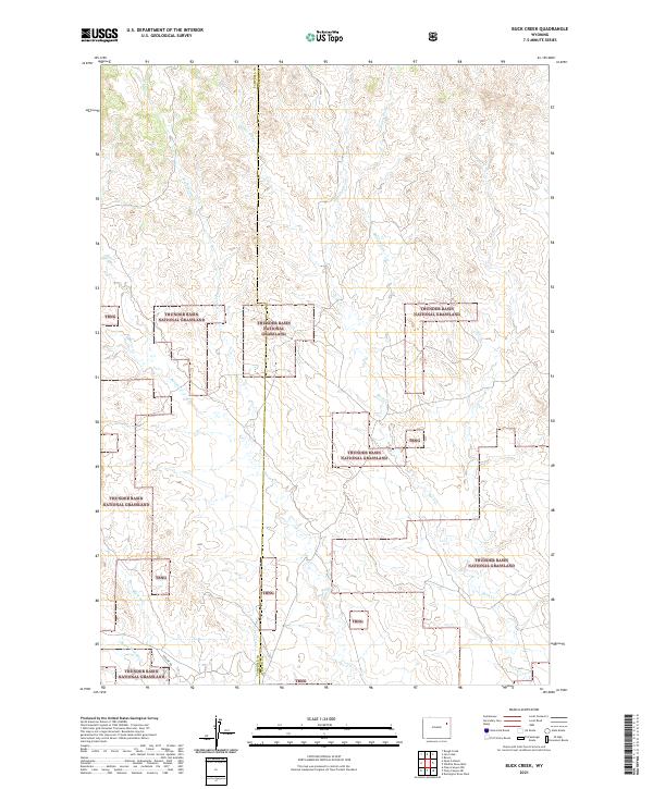
Buck Creek, WY — USGS 7.5-minute topo (2021)
USGS Topo Maps (public domain) · Wyoming
Public domain
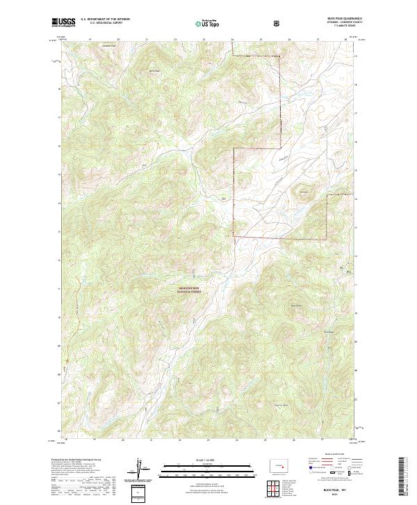
Buck Peak, WY — USGS 7.5-minute topo (2021)
USGS Topo Maps (public domain) · Wyoming
Public domain
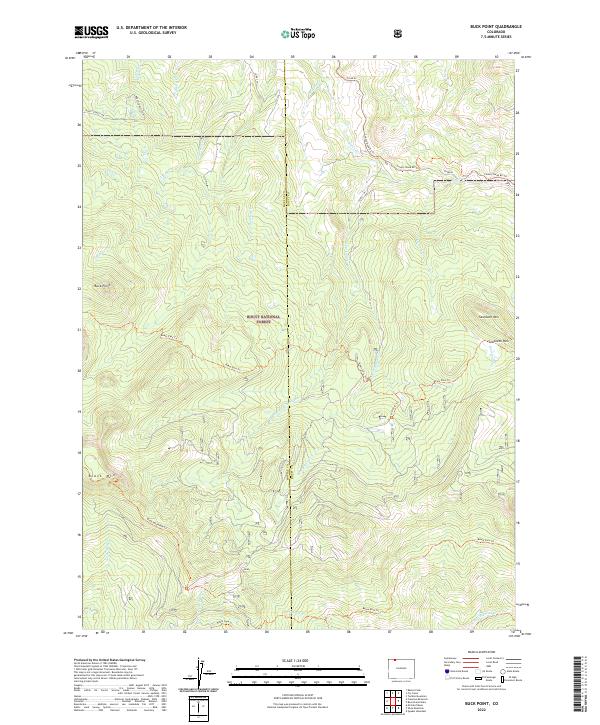
Buck Point, CO — USGS 7.5-minute topo (2022)
USGS Topo Maps (public domain) · Colorado
Public domain
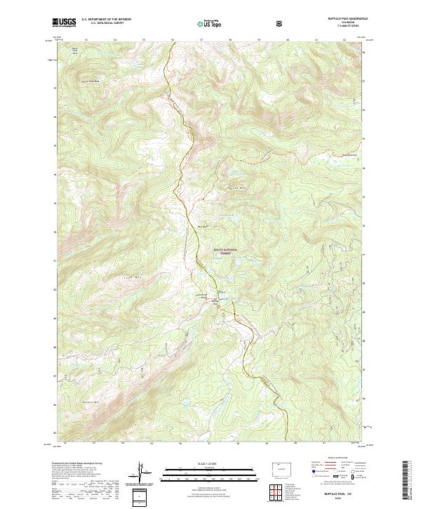
Buffalo Pass, CO — USGS 7.5-minute topo (2022)
USGS Topo Maps (public domain) · Colorado
Public domain
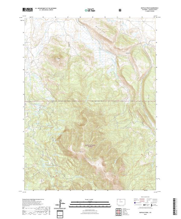
Buffalo Peak, CO — USGS 7.5-minute topo (2022)
USGS Topo Maps (public domain) · Colorado
Public domain
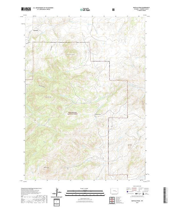
Buffalo Peak, WY — USGS 7.5-minute topo (2021)
USGS Topo Maps (public domain) · Wyoming
Public domain
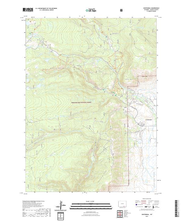
Centennial, WY — USGS 7.5-minute topo (2021)
USGS Topo Maps (public domain) · Wyoming
Public domain
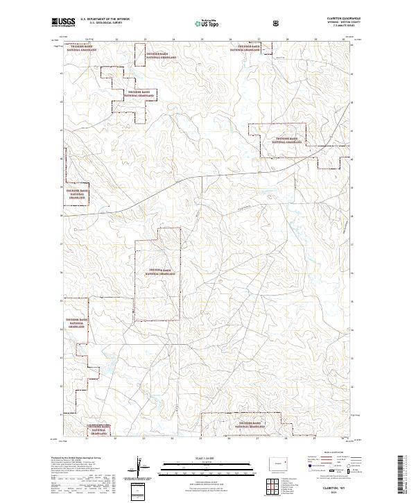
Clareton, WY — USGS 7.5-minute topo (2021)
USGS Topo Maps (public domain) · Wyoming
Public domain
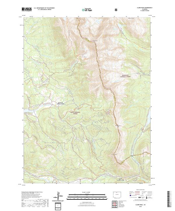
Clark Peak, CO — USGS 7.5-minute topo (2022)
USGS Topo Maps (public domain) · Colorado
Public domain
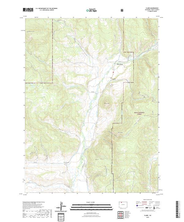
Clark, CO — USGS 7.5-minute topo (2022)
USGS Topo Maps (public domain) · Colorado
Public domain
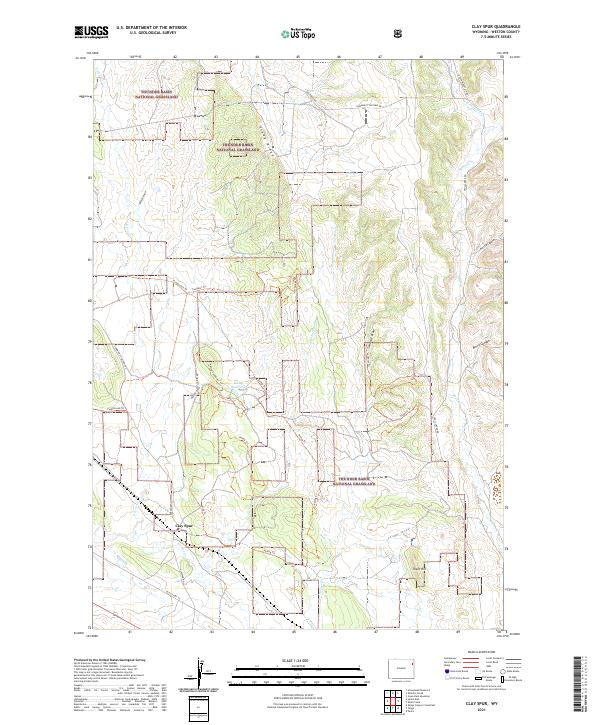
Clay Spur, WY — USGS 7.5-minute topo (2021)
USGS Topo Maps (public domain) · Wyoming
Public domain
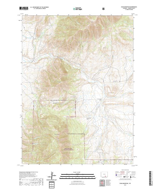
Coad Mountain, WY — USGS 7.5-minute topo (2021)
USGS Topo Maps (public domain) · Wyoming
Public domain
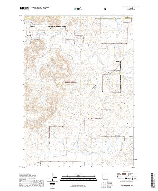
Coal Bank Draw, WY — USGS 7.5-minute topo (2021)
USGS Topo Maps (public domain) · Wyoming
Public domain
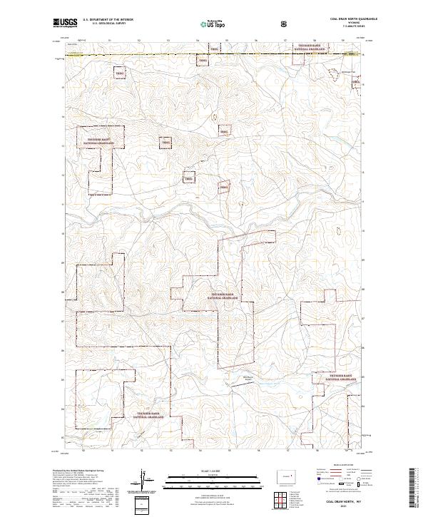
Coal Draw North, WY — USGS 7.5-minute topo (2021)
USGS Topo Maps (public domain) · Wyoming
Public domain
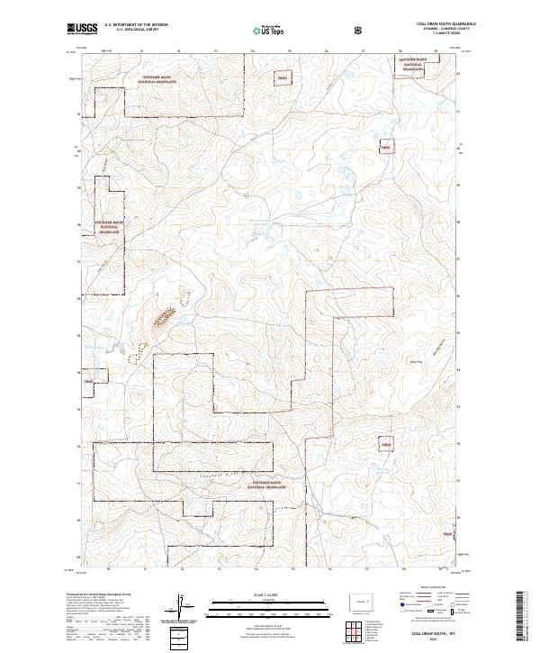
Coal Draw South, WY — USGS 7.5-minute topo (2021)
USGS Topo Maps (public domain) · Wyoming
Public domain
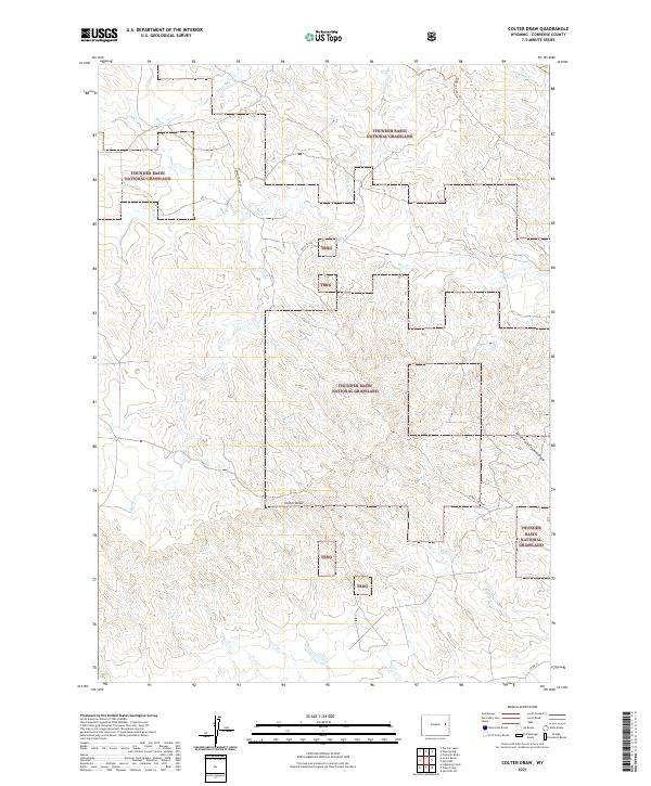
Colter Draw, WY — USGS 7.5-minute topo (2021)
USGS Topo Maps (public domain) · Wyoming
Public domain
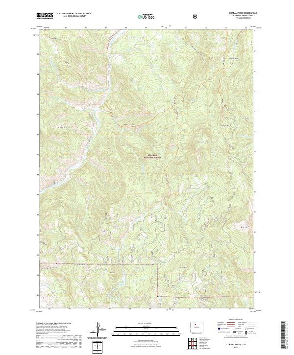
Corral Peaks, CO — USGS 7.5-minute topo (2022)
USGS Topo Maps (public domain) · Colorado
Public domain
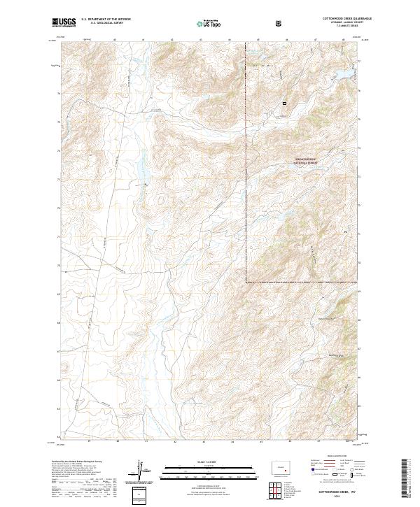
Cottonwood Creek, WY — USGS 7.5-minute topo (2021)
USGS Topo Maps (public domain) · Wyoming
Public domain
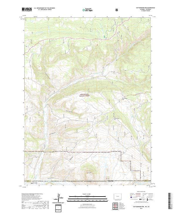
Cottonwood Rim, WY-CO — USGS 7.5-minute topo (2021)
USGS Topo Maps (public domain) · Wyoming, Colorado
Public domain
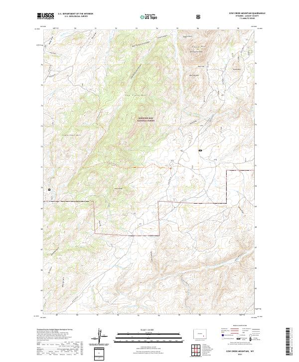
Cow Creek Mountain, WY — USGS 7.5-minute topo (2021)
USGS Topo Maps (public domain) · Wyoming
Public domain
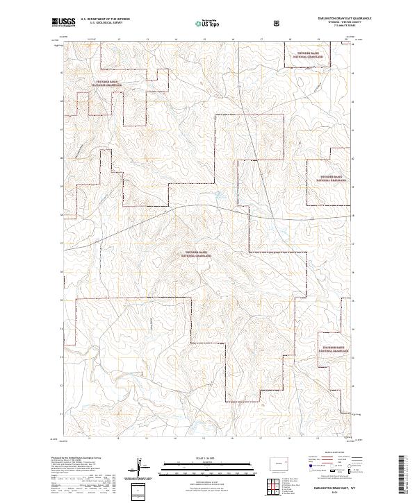
Darlington Draw East, WY — USGS 7.5-minute topo (2021)
USGS Topo Maps (public domain) · Wyoming
Public domain
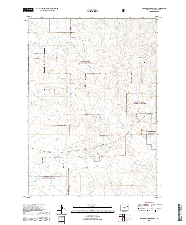
Darlington Draw West, WY — USGS 7.5-minute topo (2021)
USGS Topo Maps (public domain) · Wyoming
Public domain
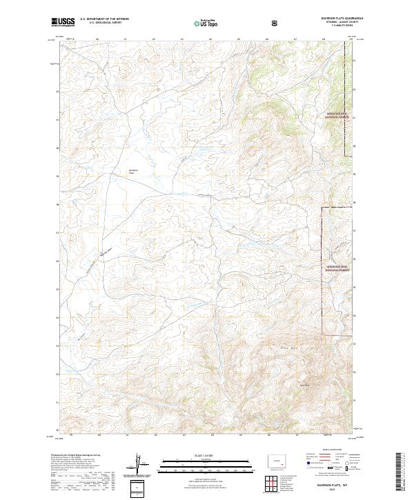
Davidson Flats, WY — USGS 7.5-minute topo (2021)
USGS Topo Maps (public domain) · Wyoming
Public domain
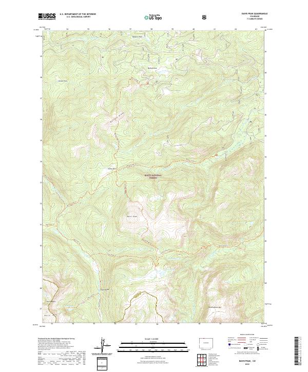
Davis Peak, CO — USGS 7.5-minute topo (2022)
USGS Topo Maps (public domain) · Colorado
Public domain
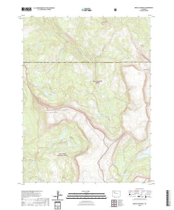
Devils Causeway, CO — USGS 7.5-minute topo (2022)
USGS Topo Maps (public domain) · Colorado
Public domain
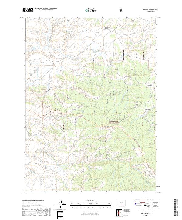
Divide Peak, WY — USGS 7.5-minute topo (2021)
USGS Topo Maps (public domain) · Wyoming
Public domain
See all 220 maps of Medicine Bow-Routt National Forest
USGS quads are listed when part of the sheet falls inside the boundary. Boundary: USDA Forest Service, simplified.
More places nearby
- Rocky Mountain National Park
- Black Hills National Forest
- Arapaho and Roosevelt National Forests
- Devils Tower National Monument
- Bighorn National Forest
- Dinosaur National Monument
- White River National Forest
- Shoshone National Forest
- Bridger-Teton National Forest
- Bighorn Canyon National Recreation Area
- Florissant Fossil Beds National Monument
- Ashley National Forest
- Fossil Butte National Monument
- Grand Teton National Park
- Colorado National Monument
- John D. Rockefeller, Jr., Memorial Parkway
- Grand Mesa, Uncompahgre and Gunnison National Forests
- Black Canyon of the Gunnison National Park