El Morro National Monument maps
National monument in New Mexico, managed by the National Park Service.
Cartahaven has 2 maps covering El Morro National Monument: 1 Forest Service map and 1 USGS 7.5-minute topo quad. All of them are free. Download one to your phone and the map app shows your GPS position on it with no cell signal, along with your tracks, placemarks and, in the US, who manages the land around you.
Check current conditions, closures and regulations with the National Park Service before you go. Maps are aids, not guarantees.
Where each map covers
Maps
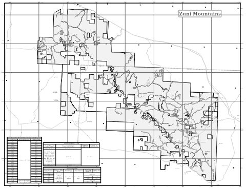
Mount Taylor - Back Motor Vehicle Use Map (MVUM) — Cibola National Forest and National Grasslands
Forest Service Maps (public domain) · Cibola National Forest and National Grasslands
Public domain
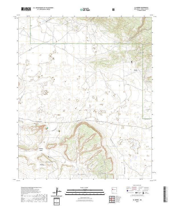
El Morro, NM — USGS 7.5-minute topo (2023)
USGS Topo Maps (public domain) · New Mexico
Public domain
USGS quads are listed when part of the sheet falls inside the boundary. Boundary: National Park Service, simplified.
More places nearby
- El Malpais National Monument
- Petroglyph National Monument
- Gila National Forest
- Valles Caldera National Preserve
- Bandelier National Monument
- Gila Cliff Dwellings National Monument
- Aztec Ruins National Monument
- Salinas Pueblo Missions National Monument
- Santa Fe National Forest
- Carson National Forest
- White Sands National Park
- Fort Union National Monument
- Rio Grande National Forest
- Coronado National Forest
- Lincoln National Forest
- Cibola National Forest
- Capulin Volcano National Monument
- Guadalupe Mountains National Park