Devils Postpile National Monument maps
National monument in California, managed by the National Park Service.
Cartahaven has 2 maps covering Devils Postpile National Monument: 2 Forest Service maps. All of them are free. Download one to your phone and the map app shows your GPS position on it with no cell signal, along with your tracks, placemarks and, in the US, who manages the land around you.
Check current conditions, closures and regulations with the National Park Service before you go. Maps are aids, not guarantees.
Where each map covers
Maps
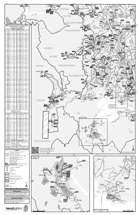
Motor Vehicle Use Map (MVUM) - Mammoth — Inyo National Forest
Forest Service Maps (public domain) · Inyo National Forest
Public domain
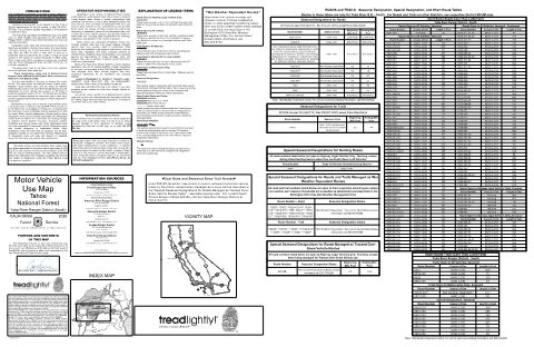
MVUM_TNF_Sheet2_Front_YubaRiverS_2026.pdf Motor Vehicle Use Map (MVUM) — Tahoe National Forest (2026)
Forest Service Maps (public domain) · Tahoe National Forest
Public domain
Boundary: National Park Service, simplified.
More places nearby
- Sierra National Forest
- Yosemite National Park
- Inyo National Forest
- Kings Canyon National Park
- Stanislaus National Forest
- Sequoia National Park
- Sequoia National Forest
- Eldorado National Forest
- Lake Tahoe Basin Management Unit
- Death Valley National Park
- Pinnacles National Park
- Humboldt-Toiyabe National Forest
- Tahoe National Forest
- Los Padres National Forest
- César E. Chávez National Monument
- Plumas National Forest
- Muir Woods National Monument
- Golden Gate National Recreation Area