Cumberland Island National Seashore maps
National seashore in Florida and Georgia, managed by the National Park Service.
Cartahaven has 3 maps covering Cumberland Island National Seashore: 3 USGS 7.5-minute topo quads. All of them are free. Download one to your phone and the map app shows your GPS position on it with no cell signal, along with your tracks, placemarks and, in the US, who manages the land around you.
Check current conditions, closures and regulations with the National Park Service before you go. Maps are aids, not guarantees.
Where each map covers
Maps
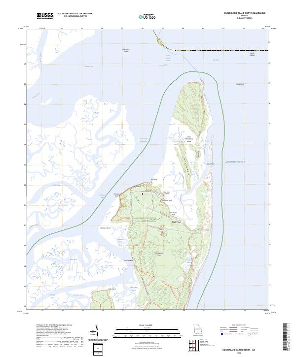
Cumberland Island North, GA — USGS 7.5-minute topo (2024)
USGS Topo Maps (public domain) · Georgia
Public domain
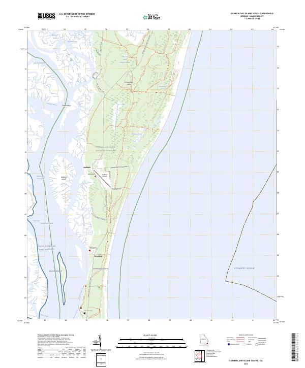
Cumberland Island South, GA — USGS 7.5-minute topo (2024)
USGS Topo Maps (public domain) · Georgia
Public domain
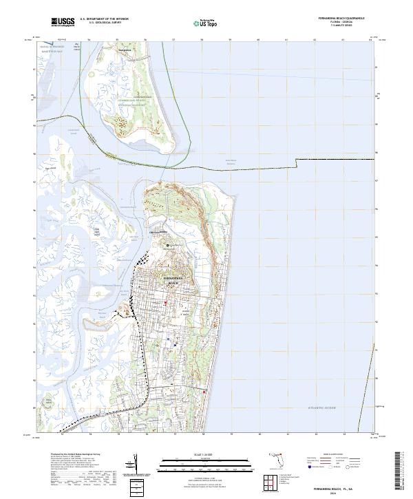
Fernandina Beach, FL-GA — USGS 7.5-minute topo (2024)
USGS Topo Maps (public domain) · Florida, Georgia
Public domain
USGS quads are listed when part of the sheet falls inside the boundary. Boundary: National Park Service, simplified.
More places nearby
- Fort Frederica National Monument
- Timucuan Ecological and Historic Preserve
- Castillo de San Marcos National Monument
- Fort Matanzas National Monument
- Fort Pulaski National Monument
- Canaveral National Seashore
- Savannah River Site
- National Forests in Florida
- Francis Marion and Sumter National Forests
- Chattahoochee-Oconee National Forests
- Chattahoochee River National Recreation Area
- National Forests in Alabama
- National Forests in North Carolina
- Big Cypress National Preserve
- Biscayne National Park
- Gulf Islands National Seashore
- Everglades National Park
- Dry Tortugas National Park