Canyonlands National Park maps
National park in Utah, managed by the National Park Service.
Cartahaven has 16 maps covering Canyonlands National Park: 16 USGS 7.5-minute topo quads. All of them are free. Download one to your phone and the map app shows your GPS position on it with no cell signal, along with your tracks, placemarks and, in the US, who manages the land around you.
Check current conditions, closures and regulations with the National Park Service before you go. Maps are aids, not guarantees.
Where each map covers
Maps
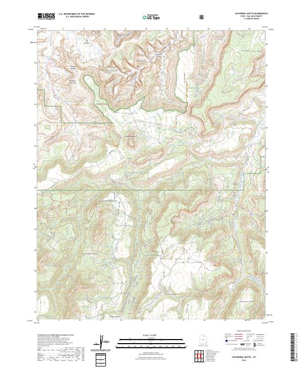
Cathedral Butte, UT — USGS 7.5-minute topo (2023)
USGS Topo Maps (public domain) · Utah
Public domain
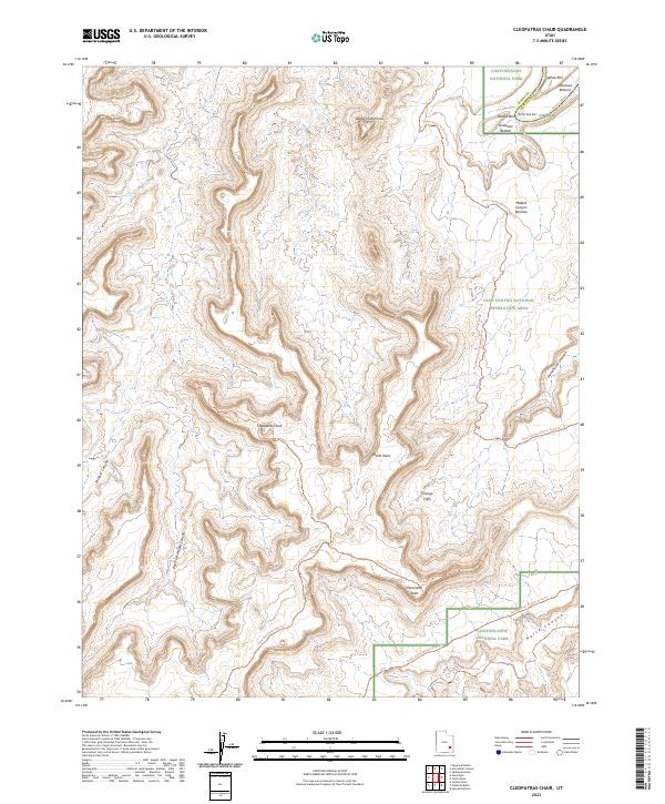
Cleopatras Chair, UT — USGS 7.5-minute topo (2023)
USGS Topo Maps (public domain) · Utah
Public domain

Cross Canyon, UT — USGS 7.5-minute topo (2023)
USGS Topo Maps (public domain) · Utah
Public domain
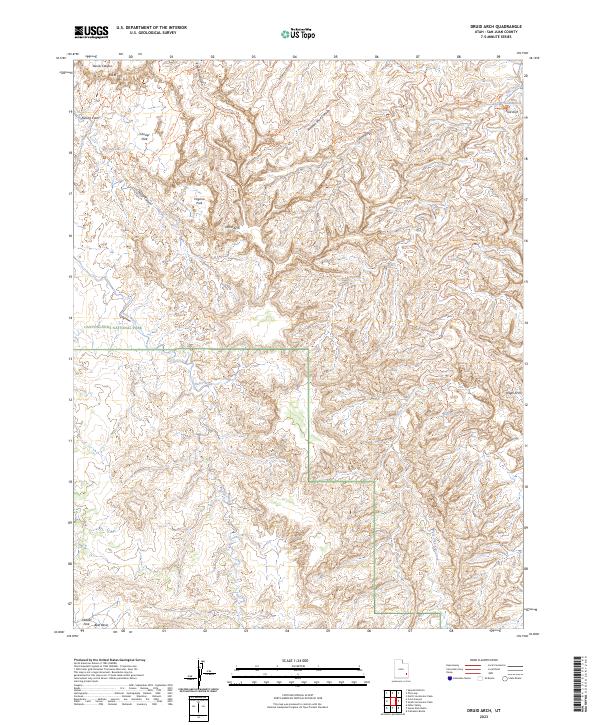
Druid Arch, UT — USGS 7.5-minute topo (2023)
USGS Topo Maps (public domain) · Utah
Public domain
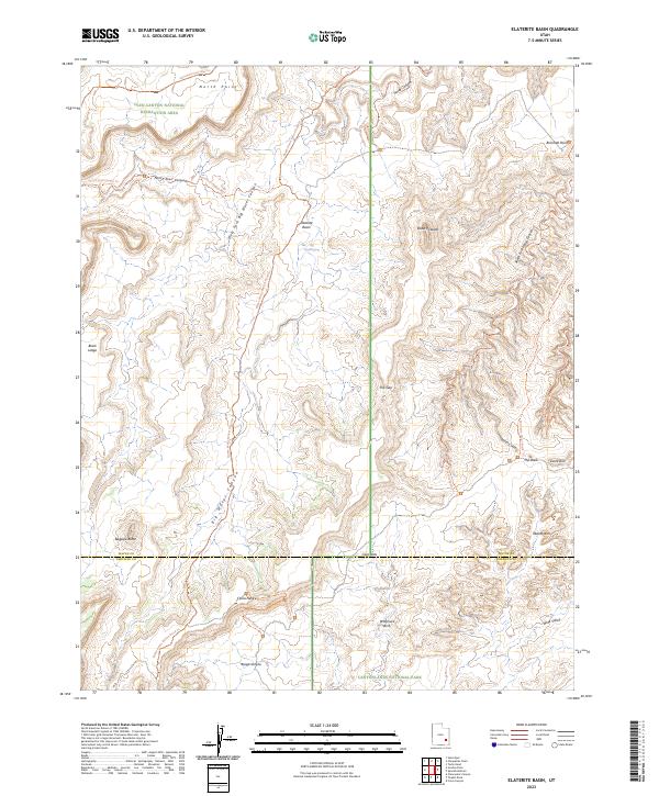
Elaterite Basin, UT — USGS 7.5-minute topo (2023)
USGS Topo Maps (public domain) · Utah
Public domain
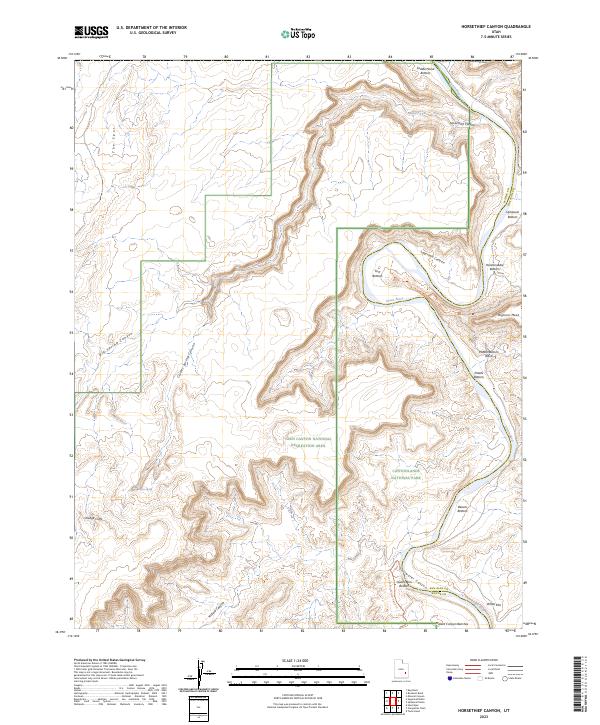
Horsethief Canyon, UT — USGS 7.5-minute topo (2023)
USGS Topo Maps (public domain) · Utah
Public domain
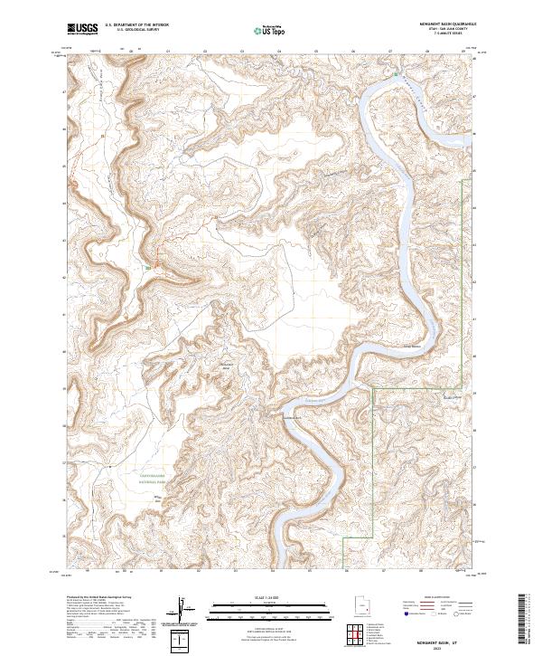
Monument Basin, UT — USGS 7.5-minute topo (2023)
USGS Topo Maps (public domain) · Utah
Public domain
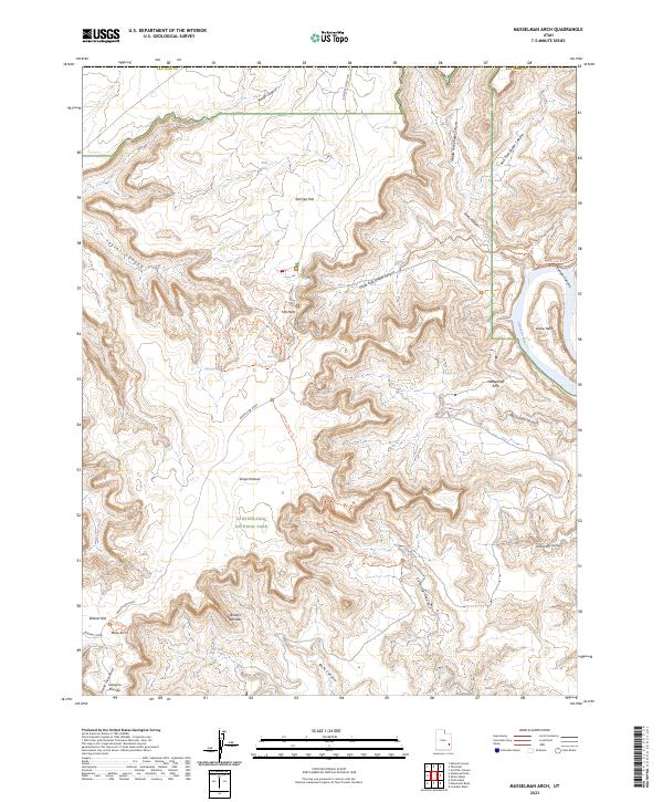
Musselman Arch, UT — USGS 7.5-minute topo (2023)
USGS Topo Maps (public domain) · Utah
Public domain
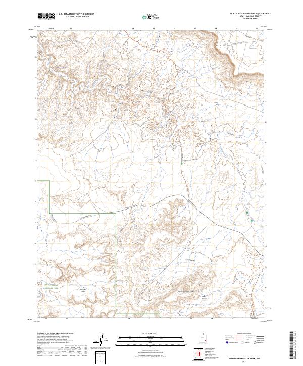
North Six-shooter Peak, UT — USGS 7.5-minute topo (2023)
USGS Topo Maps (public domain) · Utah
Public domain
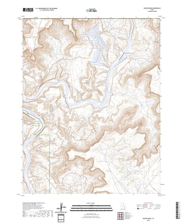
Shafer Basin, UT — USGS 7.5-minute topo (2023)
USGS Topo Maps (public domain) · Utah
Public domain
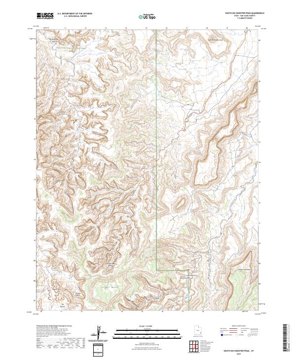
South Six-shooter Peak, UT — USGS 7.5-minute topo (2023)
USGS Topo Maps (public domain) · Utah
Public domain
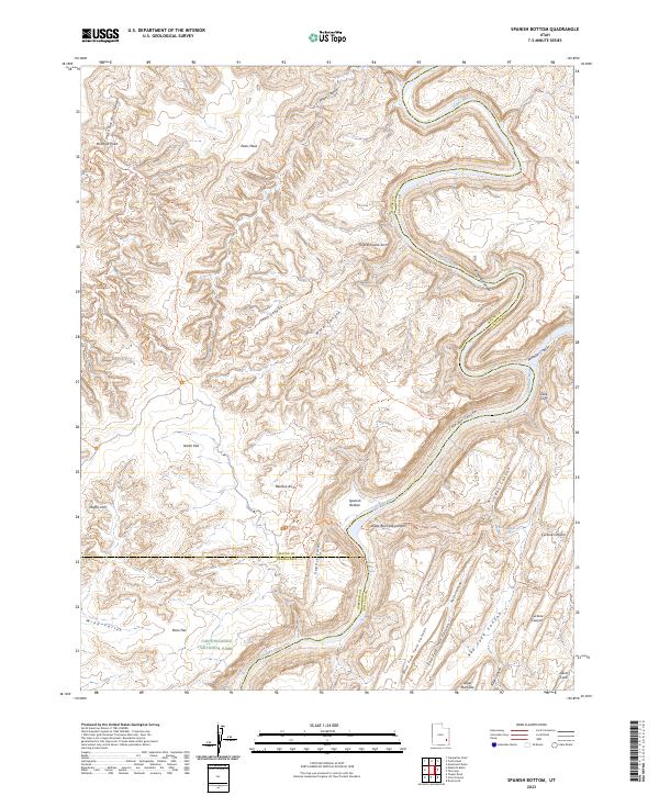
Spanish Bottom, UT — USGS 7.5-minute topo (2023)
USGS Topo Maps (public domain) · Utah
Public domain
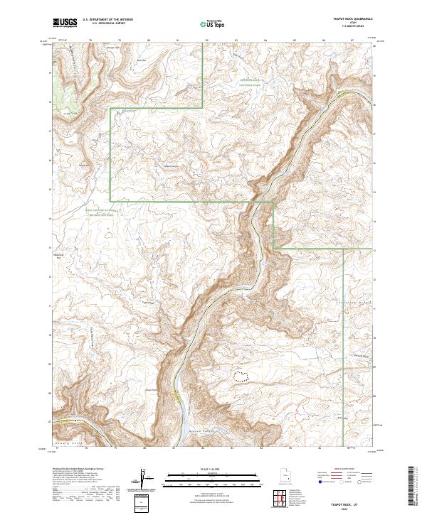
Teapot Rock, UT — USGS 7.5-minute topo (2023)
USGS Topo Maps (public domain) · Utah
Public domain
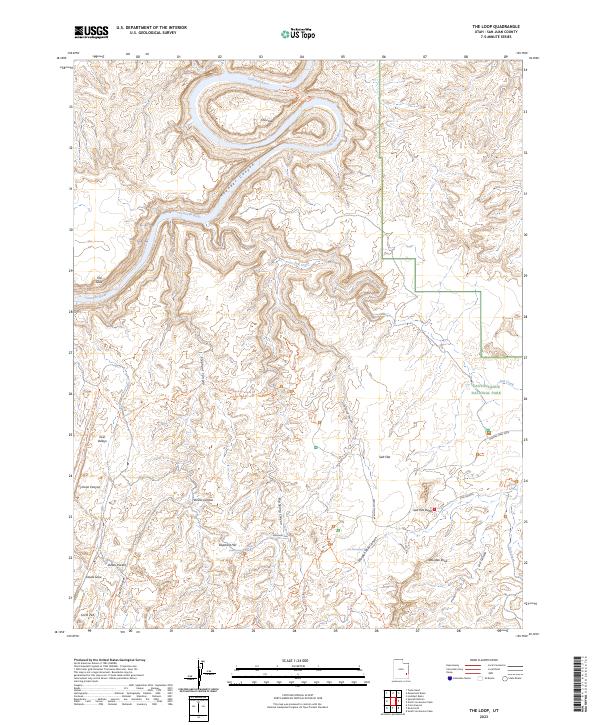
The Loop, UT — USGS 7.5-minute topo (2023)
USGS Topo Maps (public domain) · Utah
Public domain
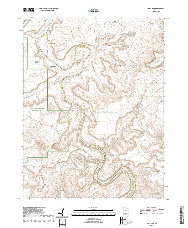
Turks Head, UT — USGS 7.5-minute topo (2023)
USGS Topo Maps (public domain) · Utah
Public domain
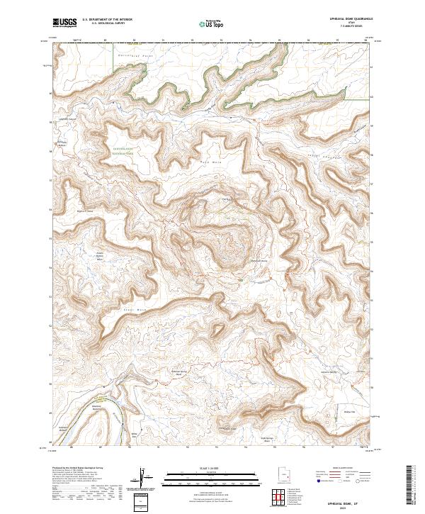
Upheaval Dome, UT — USGS 7.5-minute topo (2023)
USGS Topo Maps (public domain) · Utah
Public domain
USGS quads are listed when part of the sheet falls inside the boundary. Boundary: National Park Service, simplified.
More places nearby
- Arches National Park
- Natural Bridges National Monument
- Manti-La Sal National Forest
- Glen Canyon National Recreation Area
- Capitol Reef National Park
- Hovenweep National Monument
- Rainbow Bridge National Monument
- Fishlake National Forest
- Bryce Canyon National Park
- Dixie National Forest
- Cedar Breaks National Monument
- Dinosaur National Monument
- Ashley National Forest
- Zion National Park
- Timpanogos Cave National Monument
- Uinta-Wasatch-Cache National Forest
- Caribou-Targhee National Forest
- Sawtooth National Forest